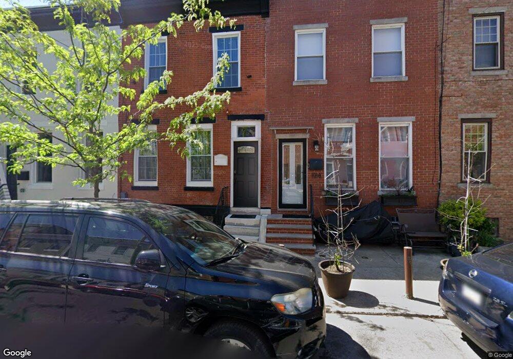
1916 Federal St Philadelphia, PA 19146
Point Breeze NeighborhoodEstimated Value: $228,000 - $334,868
3
Beds
1
Bath
1,359
Sq Ft
$204/Sq Ft
Est. Value
About This Home
This home is located at 1916 Federal St, Philadelphia, PA 19146 and is currently estimated at $276,717, approximately $203 per square foot. 1916 Federal St is a home located in Philadelphia County with nearby schools including Edwin M. Stanton School, South Philadelphia High School, and Christopher Columbus CS.
Ownership History
Date
Name
Owned For
Owner Type
Purchase Details
Closed on
Sep 1, 2015
Sold by
Philadelphia Redevelopment Authority
Bought by
Gresham Mark Dwayne
Current Estimated Value
Purchase Details
Closed on
Mar 11, 2015
Sold by
City Of Philadelphia
Bought by
Philadelphia Redevelopment Authority and Redevelopment Authority Of The City Of P
Purchase Details
Closed on
Jun 23, 2003
Sold by
Nutter John Larry
Bought by
City Of Philadelphia
Create a Home Valuation Report for This Property
The Home Valuation Report is an in-depth analysis detailing your home's value as well as a comparison with similar homes in the area
Home Values in the Area
Average Home Value in this Area
Purchase History
| Date | Buyer | Sale Price | Title Company |
|---|---|---|---|
| Gresham Mark Dwayne | -- | None Available | |
| Philadelphia Redevelopment Authority | -- | None Available | |
| City Of Philadelphia | $800 | -- |
Source: Public Records
Tax History Compared to Growth
Tax History
| Year | Tax Paid | Tax Assessment Tax Assessment Total Assessment is a certain percentage of the fair market value that is determined by local assessors to be the total taxable value of land and additions on the property. | Land | Improvement |
|---|---|---|---|---|
| 2025 | $3,185 | $257,800 | $51,560 | $206,240 |
| 2024 | $3,185 | $257,800 | $51,560 | $206,240 |
| 2023 | $3,185 | $227,500 | $45,500 | $182,000 |
| 2022 | $1,872 | $182,500 | $45,500 | $137,000 |
| 2021 | $2,501 | $0 | $0 | $0 |
| 2020 | $2,501 | $0 | $0 | $0 |
| 2019 | $2,325 | $0 | $0 | $0 |
| 2018 | $1,312 | $0 | $0 | $0 |
| 2017 | $1,732 | $0 | $0 | $0 |
| 2016 | -- | $0 | $0 | $0 |
| 2015 | -- | $0 | $0 | $0 |
| 2014 | -- | $123,700 | $14,979 | $108,721 |
| 2012 | -- | $8,000 | $1,600 | $6,400 |
Source: Public Records
Map
Nearby Homes
- 1938 Federal St
- 2707 11 Federal St
- 2303-2305 Federal St
- 1904 Federal St
- 2019 Manton St
- 2016 Manton St
- 2008 Latona St
- 2026 Ellsworth St
- 2034 Manton St
- 1239 S 19th St
- 2040 Manton St
- 2025 Ellsworth St
- 2002 Titan St
- 2050 Ellsworth St
- 1239 S 21st St
- 1151 S Cleveland St
- 1309 S 20th St
- 1310 S 20th St
- 1836 Wharton St
- 1321 S Opal St
- 1918 Federal St
- 1912 Federal St
- 1920 Federal St
- 1910 Federal St
- 1922 Federal St
- 1909 Manton St
- 1908 Federal St
- 1913 Manton St
- 1907 Manton St
- 1911 Manton St
- 1906 Federal St
- 1926 Federal St
- 1903 Manton St
- 1915 Manton St
- 1901 Manton St
- 1917 Manton St
- 1919 Manton St
- 1928 Federal St
- 1919 Federal St
- 1915 Federal St