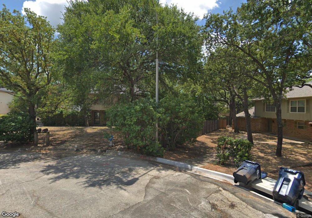
1916 Kingswood Ct Unit 19 Denton, TX 76205
Southridge NeighborhoodEstimated Value: $442,801 - $655,000
3
Beds
2
Baths
3,226
Sq Ft
$179/Sq Ft
Est. Value
About This Home
This home is located at 1916 Kingswood Ct Unit 19, Denton, TX 76205 and is currently estimated at $577,200, approximately $178 per square foot. 1916 Kingswood Ct Unit 19 is a home located in Denton County with nearby schools including Houston Elementary School, McMath Middle School, and Denton High School.
Ownership History
Date
Name
Owned For
Owner Type
Purchase Details
Closed on
Apr 14, 2006
Sold by
Skondin Dean B
Bought by
Mendoza Elpidio and Mendoza Arcelia
Current Estimated Value
Purchase Details
Closed on
May 31, 2002
Sold by
Baker James A
Bought by
Skondin Dean B
Home Financials for this Owner
Home Financials are based on the most recent Mortgage that was taken out on this home.
Original Mortgage
$135,680
Interest Rate
6.78%
Create a Home Valuation Report for This Property
The Home Valuation Report is an in-depth analysis detailing your home's value as well as a comparison with similar homes in the area
Home Values in the Area
Average Home Value in this Area
Purchase History
| Date | Buyer | Sale Price | Title Company |
|---|---|---|---|
| Mendoza Elpidio | -- | Title Resources | |
| Skondin Dean B | -- | -- |
Source: Public Records
Mortgage History
| Date | Status | Borrower | Loan Amount |
|---|---|---|---|
| Previous Owner | Skondin Dean B | $135,680 | |
| Closed | Skondin Dean B | $33,920 |
Source: Public Records
Tax History Compared to Growth
Tax History
| Year | Tax Paid | Tax Assessment Tax Assessment Total Assessment is a certain percentage of the fair market value that is determined by local assessors to be the total taxable value of land and additions on the property. | Land | Improvement |
|---|---|---|---|---|
| 2025 | $7,190 | $353,171 | $121,019 | $232,152 |
| 2024 | $7,190 | $372,522 | $121,019 | $251,503 |
| 2023 | $7,402 | $387,671 | $121,019 | $266,652 |
| 2022 | $6,992 | $329,356 | $106,781 | $222,575 |
| 2021 | $6,238 | $280,625 | $71,188 | $209,437 |
| 2020 | $5,936 | $259,682 | $71,188 | $188,494 |
| 2019 | $6,062 | $254,042 | $71,188 | $182,854 |
| 2018 | $5,634 | $233,226 | $71,188 | $162,038 |
| 2017 | $5,711 | $231,035 | $79,000 | $152,035 |
| 2016 | $5,668 | $229,291 | $79,000 | $150,291 |
| 2015 | -- | $174,828 | $39,500 | $135,328 |
| 2013 | -- | $167,068 | $39,500 | $127,568 |
Source: Public Records
Map
Nearby Homes
- 2016 Pembrooke Place
- 412 Hollyhill Ln Unit 412
- 408 Hollyhill Ln
- 2216 Jefferson Trail
- 2226 Savannah Trail
- 2218 Southridge Dr
- 200 Pennsylvania Dr
- 924 Ridgecrest Cir
- 209 Pennsylvania Dr
- 1237 Dallas Dr
- 1000 Lynhurst Ln
- 1500 Sandy Creek Dr
- 1412 Ridgecrest Cir
- 1024 Santa fe St
- 1408 Angelina Bend Dr
- 1407 Ridgecrest Cir
- 1330 Laredo Ct
- 824 Sandpiper Dr
- 1536 Valley Creek Rd
- 2253 Hollyhill Ln
- 1909 Kingswood Ct
- 1912 Kingswood Ct Unit 19
- 1912 Kingswood Ct
- 1910 Kingswood Ct
- 2001 Teasley Ln
- 2001 Teasley Ln
- 1908 Kingswood Ct Unit 19
- 1911 Kingswood Ct
- 1913 Kingswood Ct
- 700 Londonderry Ln Unit 100
- 700 Londonderry Ln Unit 300
- 700 Londonderry Ln Unit 200
- 700 Londonderry Ln Unit 101
- 1908 Camden Ct
- 1908 Camden Ct Unit 4
- 1908 Camden Ct Unit 2.5
- 1908 Camden Ct Unit 1
- 1908 Camden Ct Unit 3
- 1908 Camden Ct Unit 2
- 734 Londonderry Ln