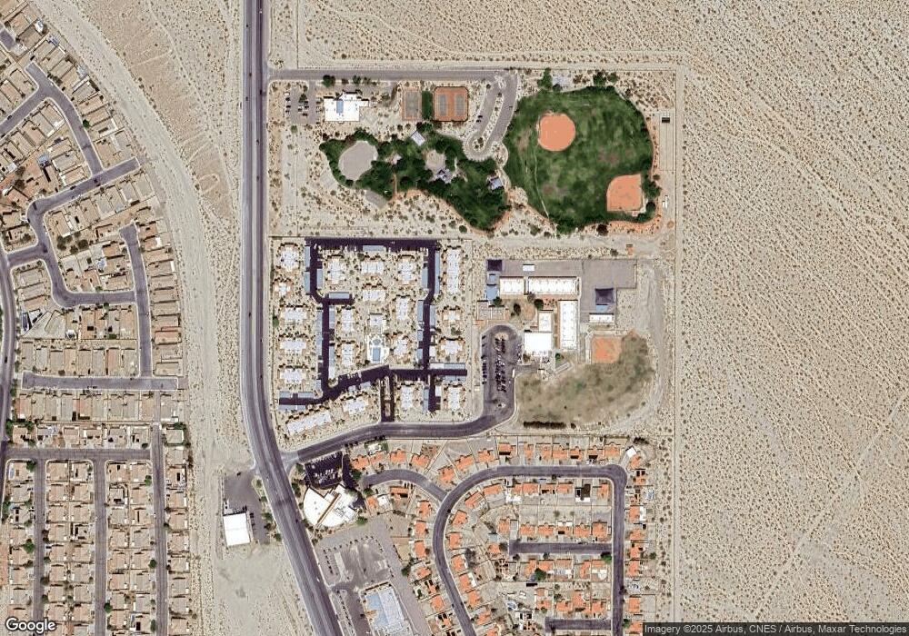
1916 Las Palmas Ln Unit 115 Laughlin, NV 89029
Estimated Value: $111,000 - $139,000
1
Bed
1
Bath
700
Sq Ft
$175/Sq Ft
Est. Value
About This Home
This home is located at 1916 Las Palmas Ln Unit 115, Laughlin, NV 89029 and is currently estimated at $122,214, approximately $174 per square foot. 1916 Las Palmas Ln Unit 115 is a home located in Clark County with nearby schools including William G. Bennett Elementary School and Laughlin Junior/Senior High School.
Ownership History
Date
Name
Owned For
Owner Type
Purchase Details
Closed on
Aug 18, 2005
Sold by
Sussman Daniel Aaron and Monreal Sussman Wanda
Bought by
Sussman Daniel Aaron and Monreal Sussman Wanda
Current Estimated Value
Home Financials for this Owner
Home Financials are based on the most recent Mortgage that was taken out on this home.
Original Mortgage
$73,500
Interest Rate
1.37%
Mortgage Type
Negative Amortization
Purchase Details
Closed on
Jan 22, 2004
Sold by
Sussman Daniel Aaron and Monreal Sussman Wanda
Bought by
Sussman Daniel Aaron and Monreal Sussman Wanda
Purchase Details
Closed on
Nov 27, 2001
Sold by
Sussman Daniel Arron and Sussman Wanda M
Bought by
Sussman Daniel Arron and Sussman Wanda M
Home Financials for this Owner
Home Financials are based on the most recent Mortgage that was taken out on this home.
Original Mortgage
$48,000
Interest Rate
6.67%
Create a Home Valuation Report for This Property
The Home Valuation Report is an in-depth analysis detailing your home's value as well as a comparison with similar homes in the area
Home Values in the Area
Average Home Value in this Area
Purchase History
| Date | Buyer | Sale Price | Title Company |
|---|---|---|---|
| Sussman Daniel Aaron | -- | Lawyers Title Of Nevada | |
| Sussman Daniel Arron | -- | Lawyers Title Of Nevada | |
| Sussman Daniel Aaron | -- | -- | |
| Sussman Daniel Arron | -- | First American Title Co |
Source: Public Records
Mortgage History
| Date | Status | Borrower | Loan Amount |
|---|---|---|---|
| Closed | Sussman Daniel Arron | $73,500 | |
| Closed | Sussman Daniel Arron | $48,000 |
Source: Public Records
Tax History Compared to Growth
Tax History
| Year | Tax Paid | Tax Assessment Tax Assessment Total Assessment is a certain percentage of the fair market value that is determined by local assessors to be the total taxable value of land and additions on the property. | Land | Improvement |
|---|---|---|---|---|
| 2025 | $739 | $21,415 | $7,438 | $13,977 |
| 2024 | $702 | $21,415 | $7,438 | $13,977 |
| 2023 | $466 | $25,041 | $11,900 | $13,141 |
| 2022 | $650 | $23,892 | $11,603 | $12,289 |
| 2021 | $602 | $20,918 | $8,925 | $11,993 |
| 2020 | $557 | $20,335 | $8,330 | $12,005 |
| 2019 | $522 | $19,031 | $7,000 | $12,031 |
| 2018 | $498 | $17,788 | $5,950 | $11,838 |
| 2017 | $525 | $15,694 | $3,500 | $12,194 |
| 2016 | $466 | $15,571 | $3,500 | $12,071 |
| 2015 | $465 | $13,848 | $3,500 | $10,348 |
| 2014 | $450 | $13,059 | $3,500 | $9,559 |
Source: Public Records
Map
Nearby Homes
- 1928 Las Palmas Ln Unit 228
- 1948 Las Palmas Ln Unit 277
- 1940 Las Palmas Ln Unit 272
- 1862 Maricopa Dr
- 1964 Las Palmas Ln Unit 141
- 1851 Maricopa Dr
- 2823 Biscaya Dr
- 2822 La Palma Dr
- 2748 Brinkley Manor St
- 2772 Brinkley Manor St
- 2078 Willow Bay Rd
- 2039 Port Royal Dr
- 2061 Alki Beach Ave
- 2715 Brinkley Manor St
- 2077 Alki Beach Ave
- 2040 Port Royal Dr
- 2079 Port Royal Dr
- 2888 Cattail Cove St
- 2750 Beacon Rock Dr
- 2926 Shimmering Bay St
- 1916 Las Palmas Ln Unit 216
- 1916 Las Palmas Ln Unit 213
- 1916 Las Palmas Ln Unit 116
- 1916 Las Palmas Ln Unit 114
- 1916 Las Palmas Ln Unit 215
- 1916 Las Palmas Ln
- 1916 Las Palmas Ln Unit 214
- 1916 Las Palmas #214 Ln Unit 214
- 1912 Las Palmas Ln Unit 111
- 1912 Las Palmas Ln Unit 212
- 1912 Las Palmas Ln Unit 211
- 1912 Las Palmas Ln Unit 112
- 1912 Las Palmas Ln Unit 209
- 1912 Las Palmas Ln Unit 110
- 1912 Las Palmas Ln Unit 109
- 1912 Las Palmas Ln Unit 210
- 1912 Las Palmas Ln
- 1912 Las Palmas Ln 111
- 1922 Las Palmas Ln Unit 122
- 1922 Las Palmas Ln Unit 224
