1916 Lummi Way Point Roberts, WA 98281
Estimated Value: $302,000 - $447,000
3
Beds
1
Bath
856
Sq Ft
$416/Sq Ft
Est. Value
About This Home
This home is located at 1916 Lummi Way, Point Roberts, WA 98281 and is currently estimated at $356,401, approximately $416 per square foot. 1916 Lummi Way is a home located in Whatcom County with nearby schools including Point Roberts Primary School, Blaine Middle School, and Blaine High School.
Ownership History
Date
Name
Owned For
Owner Type
Purchase Details
Closed on
Sep 29, 2005
Sold by
Colinview Llc
Bought by
Townsend Mark and Dastolfo Mary
Current Estimated Value
Purchase Details
Closed on
Jul 6, 2005
Sold by
Cafferata Catherine
Bought by
Colinview Llc
Purchase Details
Closed on
Apr 2, 2004
Sold by
Dangelo John Keith
Bought by
Cafferata Catherine R
Create a Home Valuation Report for This Property
The Home Valuation Report is an in-depth analysis detailing your home's value as well as a comparison with similar homes in the area
Home Values in the Area
Average Home Value in this Area
Purchase History
| Date | Buyer | Sale Price | Title Company |
|---|---|---|---|
| Townsend Mark | $220,280 | Whatcom Land Title | |
| Colinview Llc | -- | -- | |
| Cafferata Catherine R | $80,000 | First American Title Insuran |
Source: Public Records
Tax History Compared to Growth
Tax History
| Year | Tax Paid | Tax Assessment Tax Assessment Total Assessment is a certain percentage of the fair market value that is determined by local assessors to be the total taxable value of land and additions on the property. | Land | Improvement |
|---|---|---|---|---|
| 2024 | $2,350 | $290,182 | $126,473 | $163,709 |
| 2023 | $2,350 | $278,684 | $114,975 | $163,709 |
| 2022 | $2,381 | $254,506 | $105,000 | $149,506 |
| 2021 | $2,372 | $235,510 | $100,320 | $135,190 |
| 2020 | $2,362 | $218,062 | $92,888 | $125,174 |
| 2019 | $2,193 | $209,170 | $89,100 | $120,070 |
| 2018 | $2,071 | $188,042 | $80,100 | $107,942 |
| 2017 | $1,796 | $179,590 | $76,500 | $103,090 |
| 2016 | $1,932 | $176,069 | $75,000 | $101,069 |
| 2015 | $2,054 | $184,225 | $77,288 | $106,937 |
| 2014 | -- | $192,593 | $80,800 | $111,793 |
| 2013 | -- | $184,281 | $77,600 | $106,681 |
Source: Public Records
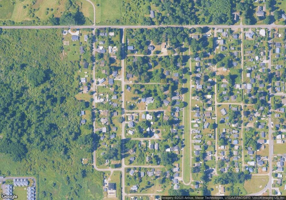
Map
Nearby Homes
- 1927 Orcas View Way
- 1920 Patos Way
- 634 S Beach Rd
- 1881 Edwards Dr
- 661 Driftwood Ln
- 1911 Apa Rd
- 1934 Waters Rd
- 698 Kendor Dr
- 1940 Apa Rd
- 675 Sylvia Dr
- 0 6 39 Acres South Beach Rd
- 1976 Cedar Park Dr
- Lot 3 Edwards Dr
- lot 14 Cedar Park Dr Unit 14
- 19 Harbor Seal Dr
- 2045 Apa Rd
- 1587 Harbor Seal Dr
- 2 Benson Rd
- Lot 2 Greenwood Dr
- 1561 Edwards Dr
- 1926 Lummi Way
- 1919 Orcas Way
- 1915 Lummi Way
- 642 Largaud Dr
- 662 Largaud Dr
- 1931 Orcas Way
- 1927 Lummi Way
- 1921 Lummi Way
- 668 Largaud Dr
- 636 Largaud Dr
- 1933 Lummi Way
- 1920 Orcas Way
- 651 Largaud Dr
- 645 Largaud Dr
- 1916 Sucia Way
- 646 Largaud Dr
- 690 Largaud Dr
- 0 Lot 53 Largaud Dr
- 674 Largaud Dr
- 641 Largaud Dr