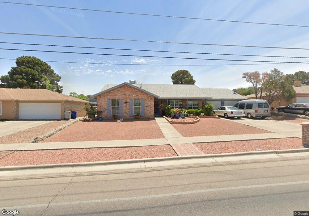
1916 Mosswood St El Paso, TX 79935
Vista Del Sol NeighborhoodEstimated Value: $280,335 - $308,000
4
Beds
2
Baths
2,037
Sq Ft
$143/Sq Ft
Est. Value
About This Home
This home is located at 1916 Mosswood St, El Paso, TX 79935 and is currently estimated at $291,834, approximately $143 per square foot. 1916 Mosswood St is a home located in El Paso County with nearby schools including Eastwood Heights Elementary School, Eastwood Middle School, and Eastwood High School.
Ownership History
Date
Name
Owned For
Owner Type
Purchase Details
Closed on
Apr 26, 2011
Sold by
Nieves David
Bought by
Nieves David and Nieves Sylvia D
Current Estimated Value
Purchase Details
Closed on
Mar 30, 2006
Sold by
Dow Elizabeth M
Bought by
Nieves David
Home Financials for this Owner
Home Financials are based on the most recent Mortgage that was taken out on this home.
Original Mortgage
$50,000
Outstanding Balance
$28,500
Interest Rate
6.22%
Mortgage Type
Purchase Money Mortgage
Estimated Equity
$263,334
Create a Home Valuation Report for This Property
The Home Valuation Report is an in-depth analysis detailing your home's value as well as a comparison with similar homes in the area
Home Values in the Area
Average Home Value in this Area
Purchase History
| Date | Buyer | Sale Price | Title Company |
|---|---|---|---|
| Nieves David | -- | None Available | |
| Nieves David | -- | None Available |
Source: Public Records
Mortgage History
| Date | Status | Borrower | Loan Amount |
|---|---|---|---|
| Open | Nieves David | $50,000 |
Source: Public Records
Tax History Compared to Growth
Tax History
| Year | Tax Paid | Tax Assessment Tax Assessment Total Assessment is a certain percentage of the fair market value that is determined by local assessors to be the total taxable value of land and additions on the property. | Land | Improvement |
|---|---|---|---|---|
| 2025 | $3,058 | $254,668 | $36,153 | $218,515 |
| 2024 | $3,058 | $245,434 | -- | -- |
| 2023 | $2,924 | $223,122 | $0 | $0 |
| 2022 | $6,299 | $202,838 | $0 | $0 |
| 2021 | $5,994 | $184,398 | $36,153 | $148,245 |
| 2020 | $5,743 | $181,820 | $29,886 | $151,934 |
| 2018 | $5,479 | $176,195 | $29,886 | $146,309 |
| 2017 | $5,057 | $165,433 | $29,886 | $135,547 |
| 2016 | $5,057 | $165,433 | $29,886 | $135,547 |
| 2015 | $3,256 | $165,433 | $29,886 | $135,547 |
| 2014 | $3,256 | $166,461 | $29,886 | $136,575 |
Source: Public Records
Map
Nearby Homes
- 1909 Crow Dr
- 10313 Byway Dr
- 2105 Pacheco Dr
- 10233 Byway Dr
- 10304 Woodruff Ct
- 10309 Woodruff Ct
- 2224 Escarpa Dr
- 2109 Febrero Dr
- 10533 Springwood Dr
- 10512 Album Ave
- 2412 Penwood Dr
- 10463 Davwood Ln
- 1730 Bara Dr
- 2000 Solano Dr
- 10145 Camwood Dr
- 1644 Lomaland Dr Unit 169
- 2153 Trawood Dr
- 2701 Brady Place
- 2201 Trawood Dr
- 2705 Fierro Dr
- 1920 Mosswood St
- 1912 Mosswood St
- 1933 Crow Dr
- 1937 Crow Dr
- 1929 Crow Dr
- 1924 Mosswood St
- 1908 Mosswood St
- 10437 Byway Dr
- 1941 Crow Dr
- 1925 Crow Dr
- 10444 Allway Dr
- 10436 Byway Dr
- 1904 Mosswood St
- 10433 Byway Dr
- 1801 Octubre Dr
- 10440 Allway Dr
- 1921 Crow Dr
- 5665 Crow Dr
- 10432 Byway Dr
- 1916 Septiembre Dr