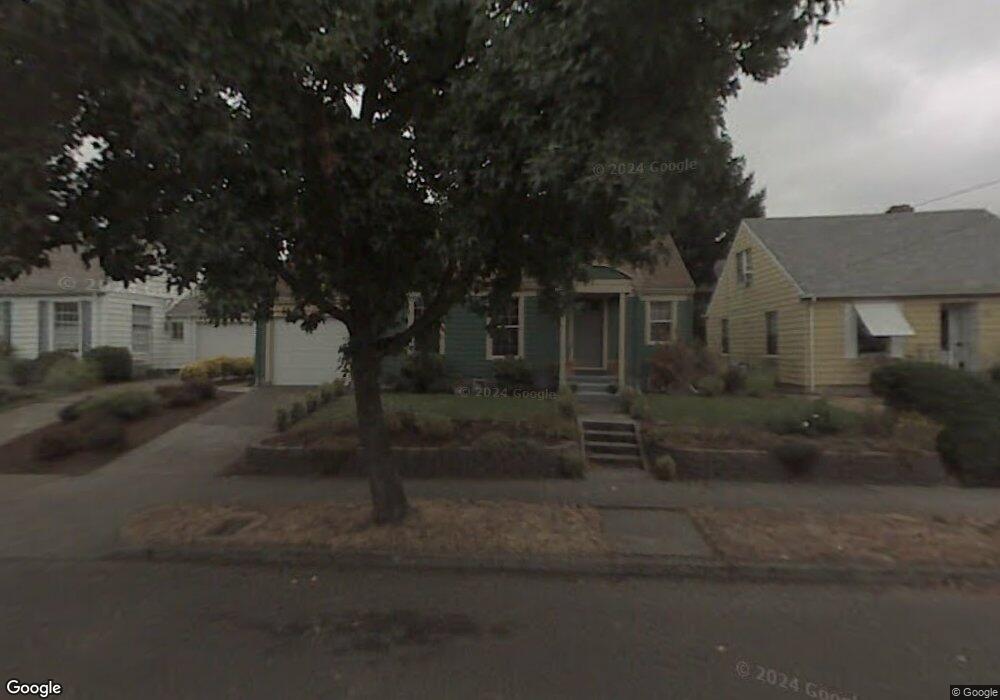
1916 NE 65th Ave Portland, OR 97213
Madison South NeighborhoodEstimated Value: $556,000 - $690,000
3
Beds
2
Baths
2,537
Sq Ft
$251/Sq Ft
Est. Value
About This Home
This home is located at 1916 NE 65th Ave, Portland, OR 97213 and is currently estimated at $637,997, approximately $251 per square foot. 1916 NE 65th Ave is a home located in Multnomah County with nearby schools including Rose City Park Elementary, Roseway Heights School, and Leodis V. McDaniel High School.
Ownership History
Date
Name
Owned For
Owner Type
Purchase Details
Closed on
Feb 10, 2010
Sold by
Wolfe Lauren F
Bought by
Landry Roger F and Landry Paula M
Current Estimated Value
Home Financials for this Owner
Home Financials are based on the most recent Mortgage that was taken out on this home.
Original Mortgage
$262,400
Outstanding Balance
$174,358
Interest Rate
5.11%
Mortgage Type
New Conventional
Estimated Equity
$463,639
Purchase Details
Closed on
Nov 18, 2004
Sold by
Majestic Mortgage Services Inc
Bought by
Wolfe Craig D and Wolfe Lauren F
Home Financials for this Owner
Home Financials are based on the most recent Mortgage that was taken out on this home.
Original Mortgage
$187,600
Interest Rate
5.79%
Mortgage Type
Balloon
Purchase Details
Closed on
Jan 9, 2004
Sold by
Brumbaugh Diana
Bought by
Majestic Mortgage Services Inc
Create a Home Valuation Report for This Property
The Home Valuation Report is an in-depth analysis detailing your home's value as well as a comparison with similar homes in the area
Home Values in the Area
Average Home Value in this Area
Purchase History
| Date | Buyer | Sale Price | Title Company |
|---|---|---|---|
| Landry Roger F | $328,000 | Lawyers Title Insurance Corp | |
| Wolfe Craig D | $234,500 | Fidelity Natl Title Co Of Or | |
| Majestic Mortgage Services Inc | $117,100 | Ticor Title |
Source: Public Records
Mortgage History
| Date | Status | Borrower | Loan Amount |
|---|---|---|---|
| Open | Landry Roger F | $262,400 | |
| Previous Owner | Wolfe Craig D | $187,600 |
Source: Public Records
Tax History Compared to Growth
Tax History
| Year | Tax Paid | Tax Assessment Tax Assessment Total Assessment is a certain percentage of the fair market value that is determined by local assessors to be the total taxable value of land and additions on the property. | Land | Improvement |
|---|---|---|---|---|
| 2024 | $6,177 | $230,860 | -- | -- |
| 2023 | $5,939 | $224,140 | $0 | $0 |
| 2022 | $5,811 | $217,620 | $0 | $0 |
| 2021 | $5,713 | $211,290 | $0 | $0 |
| 2020 | $5,241 | $205,140 | $0 | $0 |
| 2019 | $5,048 | $199,170 | $0 | $0 |
| 2018 | $4,900 | $193,370 | $0 | $0 |
| 2017 | $4,696 | $187,740 | $0 | $0 |
| 2016 | $4,298 | $182,280 | $0 | $0 |
| 2015 | $4,185 | $176,980 | $0 | $0 |
| 2014 | $4,122 | $171,830 | $0 | $0 |
Source: Public Records
Map
Nearby Homes
- 1838 NE 65th Ave
- 1801 NE 62nd Ave
- 6821 NE Broadway St Unit 31
- 6211 NE Halsey St
- 6921 NE Broadway St Unit 15
- 6126 NE Halsey St
- 6114 NE Halsey St
- 6104 NE Halsey St
- 1806 NE 59th Ave
- 6248 NE Wasco St
- 1300 NE 68th Ave Unit 15
- 2212 NE 59th Ave
- 6115 NE Multnomah St Unit 7
- 6115 NE Multnomah St Unit 3
- 6115 NE Multnomah St Unit 2
- 6115 NE Multnomah St Unit 10
- 1908 NE 72nd Ave Unit 1914
- 6134 NE Multnomah St Unit 6136
- 6342 NE Willow St Unit 6348
- 7580 NE Hassalo St
- 1906 NE 65th Ave
- 1926 NE 65th Ave
- 2000 NE 65th Ave
- 1915 NE 65th Ave
- 1905 NE 65th Ave
- 1925 NE 65th Ave
- 2006 NE 65th Ave
- 2001 NE 65th Ave
- 1822 NE 65th Ave
- 6430 NE Hancock St
- 2016 NE 65th Ave
- 2007 NE 65th Ave
- 1916 NE 64th Ave
- 1904 NE 64th Ave
- 1928 NE 64th Ave
- 2019 NE 65th Ave
- 1812 NE 65th Ave
- 2002 NE 64th Ave
- 2026 NE 65th Ave
- 1838 NE 64th Ave