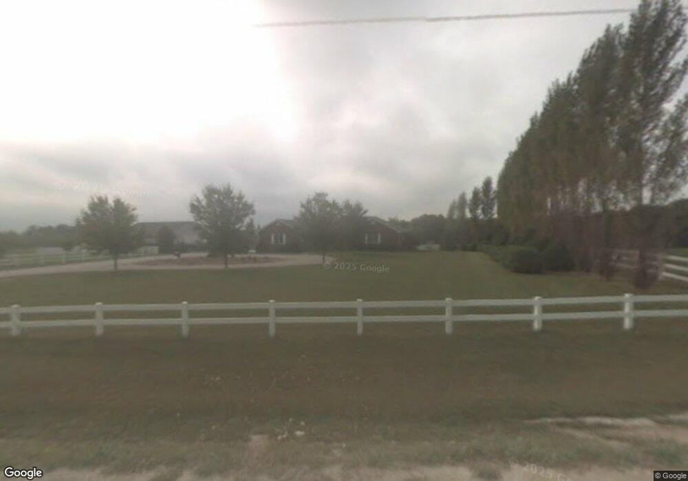
1916 Otte Rd West Point, IA 52656
Estimated Value: $418,000 - $440,230
3
Beds
2
Baths
1,982
Sq Ft
$217/Sq Ft
Est. Value
About This Home
This home is located at 1916 Otte Rd, West Point, IA 52656 and is currently estimated at $429,115, approximately $216 per square foot. 1916 Otte Rd is a home located in Lee County with nearby schools including Central Lee Elementary School, Central Lee Middle School, and Central Lee High School.
Ownership History
Date
Name
Owned For
Owner Type
Purchase Details
Closed on
Jul 26, 2006
Sold by
Shinn Bill L and Shinn Whilla
Bought by
Schevers David and Schevers Jane R
Current Estimated Value
Home Financials for this Owner
Home Financials are based on the most recent Mortgage that was taken out on this home.
Original Mortgage
$75,000
Outstanding Balance
$44,942
Interest Rate
6.82%
Mortgage Type
Future Advance Clause Open End Mortgage
Estimated Equity
$384,173
Create a Home Valuation Report for This Property
The Home Valuation Report is an in-depth analysis detailing your home's value as well as a comparison with similar homes in the area
Purchase History
We collect this data history from publicly available records. To have your information removed, we recommend requesting removal directly through your county’s website.
| Date | Buyer | Sale Price | Title Company |
|---|---|---|---|
| Schevers David | $53,000 | None Available |
Source: Public Records
Mortgage History
We collect this data history from publicly available records. To have your information removed, we recommend requesting removal directly through your county’s website.
| Date | Status | Borrower | Loan Amount |
|---|---|---|---|
| Open | Schevers David | $75,000 |
Source: Public Records
Tax History
| Year | Tax Paid | Tax Assessment Tax Assessment Total Assessment is a certain percentage of the fair market value that is determined by local assessors to be the total taxable value of land and additions on the property. | Land | Improvement |
|---|---|---|---|---|
| 2025 | $4,356 | $402,210 | $34,100 | $368,110 |
| 2024 | $4,356 | $351,520 | $34,100 | $317,420 |
| 2023 | $4,300 | $351,520 | $34,100 | $317,420 |
| 2022 | $3,260 | $256,970 | $26,300 | $230,670 |
| 2021 | $3,260 | $256,970 | $26,300 | $230,670 |
| 2020 | $3,360 | $247,010 | $27,880 | $219,130 |
| 2019 | $3,256 | $247,010 | $27,880 | $219,130 |
| 2018 | $3,378 | $233,030 | $0 | $0 |
| 2017 | $3,378 | $217,110 | $0 | $0 |
| 2016 | $3,004 | $217,110 | $0 | $0 |
| 2015 | $3,004 | $211,810 | $0 | $0 |
| 2014 | $2,852 | $211,810 | $0 | $0 |
Source: Public Records
Map
Nearby Homes
- 53 5th St
- 2388 218th St
- 107 Franklin Broadway St
- 322 4th St
- 2280 Windmill Way
- 2278 Windmill Way
- 0 Blues Highway & Bluff Rd
- 4991 Bluff Rd
- 2794 221st St
- 6119 Reve Ct
- 4601 River Bend Sub Lot 4
- 4922 Grand View Ln
- 107 Frkln Brdwy St
- 1747 295th Ave
- 2004 295th Ave
- 0 N Hillview Vil
- RR Woodland Heights Ct
- 2229 235th St
- 302 33rd St
- 618 34th St
- 1912 Otte Rd
- 1917 Otte Rd
- 1926 Otte Rd
- 1908 Otte Rd
- 1930 Otte Rd
- 1919 Otte Rd
- 1934 Otte Rd
- 1910 Otte Rd
- 1944 Otte Rd
- 0 Otte Rd Unit 23005303
- 0 Otte Rd Unit 6320991
- 0 Otte Rd Unit 5425218
- 0 Otte Rd Unit 5425188
- 0 Otte Rd Unit 5425189
- 1960 W Point Rd
- 1964 W Point Rd
- 1942 W Point Rd
- 1955 W Point Rd
- 1974 W Point Rd
- 1953 W Point Rd
Your Personal Tour Guide
Ask me questions while you tour the home.