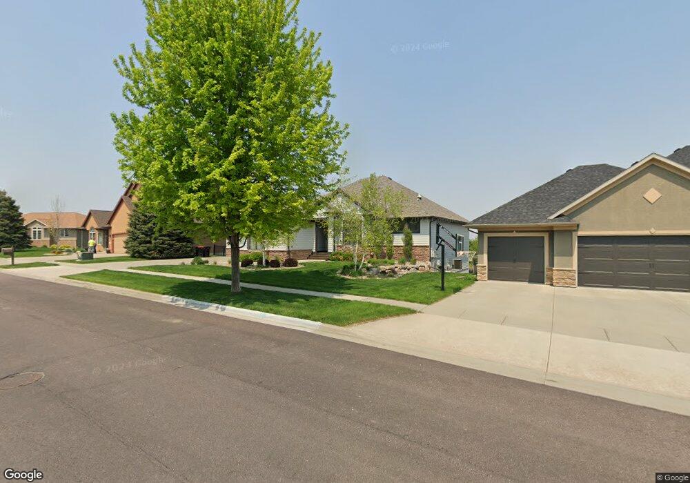
1916 W Tyler Cir Brandon, SD 57005
Estimated Value: $723,395 - $769,000
4
Beds
4
Baths
3,738
Sq Ft
$200/Sq Ft
Est. Value
About This Home
This home is located at 1916 W Tyler Cir, Brandon, SD 57005 and is currently estimated at $749,349, approximately $200 per square foot. 1916 W Tyler Cir is a home located in Minnehaha County with nearby schools including Robert Bennis Elementary School, Brandon Valley Middle School, and Brandon Valley Intermediate School.
Ownership History
Date
Name
Owned For
Owner Type
Purchase Details
Closed on
Oct 8, 2021
Sold by
Hazeltine Partners Llp
Bought by
Ben Harvey Custon Homes Inc
Current Estimated Value
Purchase Details
Closed on
Dec 17, 2019
Sold by
Darrington Paul D and Darrington Julie A
Bought by
Docter Darin and Docter Sarah
Home Financials for this Owner
Home Financials are based on the most recent Mortgage that was taken out on this home.
Original Mortgage
$440,344
Interest Rate
3.6%
Mortgage Type
VA
Create a Home Valuation Report for This Property
The Home Valuation Report is an in-depth analysis detailing your home's value as well as a comparison with similar homes in the area
Home Values in the Area
Average Home Value in this Area
Purchase History
| Date | Buyer | Sale Price | Title Company |
|---|---|---|---|
| Ben Harvey Custon Homes Inc | $85,000 | None Available | |
| Docter Darin | $465,000 | Stewart Title Company |
Source: Public Records
Mortgage History
| Date | Status | Borrower | Loan Amount |
|---|---|---|---|
| Previous Owner | Docter Darin | $440,344 |
Source: Public Records
Tax History Compared to Growth
Tax History
| Year | Tax Paid | Tax Assessment Tax Assessment Total Assessment is a certain percentage of the fair market value that is determined by local assessors to be the total taxable value of land and additions on the property. | Land | Improvement |
|---|---|---|---|---|
| 2024 | $8,573 | $648,800 | $69,100 | $579,700 |
| 2023 | $8,681 | $624,000 | $59,700 | $564,300 |
| 2022 | $8,435 | $574,100 | $49,800 | $524,300 |
| 2021 | $8,730 | $549,800 | $0 | $0 |
| 2020 | $8,730 | $554,900 | $0 | $0 |
| 2019 | $8,167 | $508,079 | $0 | $0 |
| 2018 | $7,532 | $482,975 | $0 | $0 |
| 2017 | $7,538 | $463,870 | $43,560 | $420,310 |
| 2016 | $7,538 | $456,228 | $43,560 | $412,668 |
| 2015 | $7,616 | $440,944 | $43,560 | $397,384 |
| 2014 | -- | $400,000 | $43,560 | $356,440 |
Source: Public Records
Map
Nearby Homes
- 1625 Burton Dr
- 305 S Heritage Rd
- 1604 W River Bend St
- 1504 W Bennett Dr
- 1528 W Autumn Cir
- 1517 W Autumn Cir
- 8601 E Sunset Cir
- 2908 N Oak Rd
- 808 N Sioux Blvd
- 900 N Sioux Blvd
- 804 N Sioux Blvd
- 116 W Birchwood Dr
- 404 N Sioux Blvd
- 412 N Sioux Blvd
- 408 N Sioux Blvd
- 904 N Sioux Blvd
- 500 E Cairos Place
- 216 Tabor Ct
- 209 E Vera Ln
- 900 N Garnet Dr
- 1916 Tyler Cir
- 1912 Tyler Cir
- 1920 Tyler Cir
- 1913 W River Bluff Dr
- 1913 River Bluff Dr
- 1909 W River Bluff Dr
- 1905 W River Bluff Dr
- 1917 River Bluff Dr
- 1908 Tyler Cir
- 1925 W Tyler Cir
- 1925 Tyler Cir
- 1921 Tyler Cir
- 2004 River Bend St
- 1917 Tyler Cir
- 1917 Tyler Cir Cir
- 1917 W Tyler Cir Cir
- 1917 W Tyler Cir
- 1901 W River Bluff Dr
- 1901 River Bluff Dr
- 1913 W Tyler Cir