1917 Bethlehem Rd Kings Mountain, NC 28086
Estimated Value: $366,000 - $650,734
--
Bed
--
Bath
2,002
Sq Ft
$251/Sq Ft
Est. Value
About This Home
This home is located at 1917 Bethlehem Rd, Kings Mountain, NC 28086 and is currently estimated at $501,911, approximately $250 per square foot. 1917 Bethlehem Rd is a home located in Cleveland County with nearby schools including Grover Elementary School, Kings Mountain Middle, and Kings Mountain Intermediate School.
Ownership History
Date
Name
Owned For
Owner Type
Purchase Details
Closed on
Jul 5, 2022
Sold by
Bullard Kenneth E and Bullard Kathy B
Bought by
Rife Kevin and Rife Susan Clarinda
Current Estimated Value
Home Financials for this Owner
Home Financials are based on the most recent Mortgage that was taken out on this home.
Original Mortgage
$45,000
Outstanding Balance
$33,140
Interest Rate
5.1%
Mortgage Type
Seller Take Back
Estimated Equity
$468,771
Create a Home Valuation Report for This Property
The Home Valuation Report is an in-depth analysis detailing your home's value as well as a comparison with similar homes in the area
Home Values in the Area
Average Home Value in this Area
Purchase History
| Date | Buyer | Sale Price | Title Company |
|---|---|---|---|
| Rife Kevin | $55,000 | Taylor Law Pllc |
Source: Public Records
Mortgage History
| Date | Status | Borrower | Loan Amount |
|---|---|---|---|
| Open | Rife Kevin | $45,000 |
Source: Public Records
Tax History Compared to Growth
Tax History
| Year | Tax Paid | Tax Assessment Tax Assessment Total Assessment is a certain percentage of the fair market value that is determined by local assessors to be the total taxable value of land and additions on the property. | Land | Improvement |
|---|---|---|---|---|
| 2025 | $2,174 | $633,485 | $442,522 | $190,963 |
| 2024 | $1,982 | $484,791 | $382,939 | $101,852 |
| 2023 | $1,972 | $484,791 | $382,939 | $101,852 |
| 2022 | $2,689 | $587,505 | $426,540 | $160,965 |
| 2021 | $2,697 | $587,505 | $426,540 | $160,965 |
| 2020 | $2,541 | $550,122 | $408,833 | $141,289 |
| 2019 | $2,541 | $550,122 | $408,833 | $141,289 |
| 2018 | $2,532 | $550,122 | $408,833 | $141,289 |
| 2017 | $2,520 | $550,122 | $408,833 | $141,289 |
| 2016 | $2,406 | $550,122 | $408,833 | $141,289 |
| 2015 | $2,186 | $452,354 | $306,680 | $145,674 |
| 2014 | $2,186 | $452,354 | $306,680 | $145,674 |
Source: Public Records
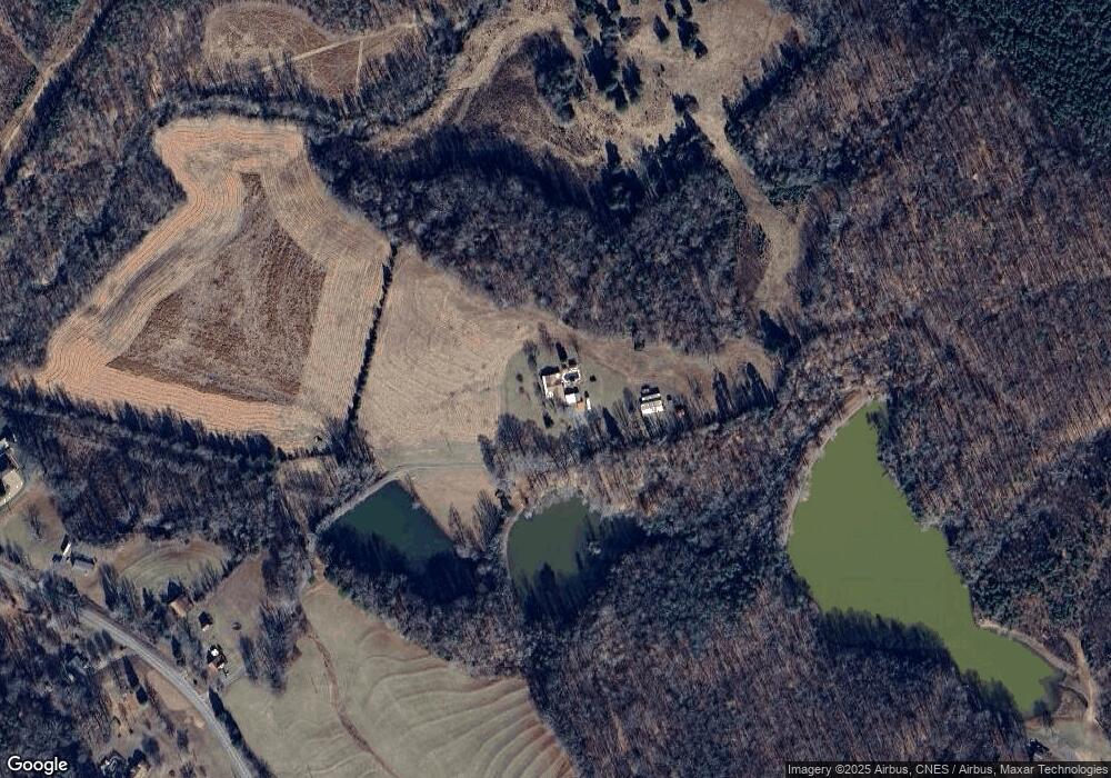
Map
Nearby Homes
- 104 W Highland Terrace
- 100 W Highland Terrace
- 450 Dixon School Rd
- 226 Farris Rd
- 2058 Bethlehem Rd
- 235 Stewart Rd Unit 2
- 130 Benton Rd
- 107 Arrowood Dr
- 1141 Mountain Brook Dr
- 209 Fairdale St
- 120 Wiggins Ln
- 107 Connor Ct
- 610 Margrace Rd
- 125 Galilee Church Rd
- 1425 Bethlehem Rd
- 116 Montview Dr
- 107 Tara Terrace
- 164 Linderman Lake Ln
- 215 Chadwick Dr
- 253 Highway 161 None N
- 1941 Bethlehem Rd
- 1951 Bethlehem Rd
- 1922 Bethlehem Rd
- 1924 Bethlehem Rd
- 1903 Bethlehem Rd
- 100 Wilderness Trail
- 100 Wilderness Trail
- 1936 Bethlehem Rd
- 1967 Bethlehem Rd Unit 3
- 1915 Bethlehem Rd
- 0 Wilderness Unit 889300
- 0 Wilderness Unit 899102
- 0 Wilderness Unit 899101
- 0 Wilderness Unit 899100
- 1965 Bethlehem Rd
- 527 Alex D Owens Dr
- 1946 Bethlehem Rd
- 1942 Bethlehem Rd
- 519 Alex D Owens Dr Unit 29
- 112 Wilderness Trail