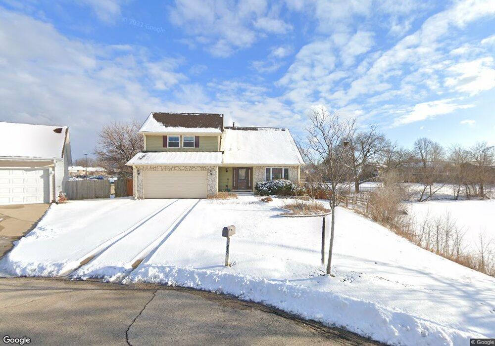
1917 Brookside Ln Hoffman Estates, IL 60169
South Hoffman Estates NeighborhoodEstimated Value: $404,000 - $497,000
About This Home
This home is located at 1917 Brookside Ln, Hoffman Estates, IL 60169 and is currently estimated at $453,860, approximately $224 per square foot. 1917 Brookside Ln is a home located in Cook County with nearby schools including Neil Armstrong Elementary School, Dwight D Eisenhower Junior High School, and Hoffman Estates High School.
Ownership History
We collect this data history from publicly available records. To have your information removed, we recommend requesting removal directly through your county’s website.
Purchase Details
Purchase Details
Home Financials for this Owner
Home Financials are based on the most recent Mortgage that was taken out on this home.Home Values in the Area
Average Home Value in this Area
Purchase History
We collect this data history from publicly available records. To have your information removed, we recommend requesting removal directly through your county’s website.
| Date | Buyer | Sale Price | Title Company |
|---|---|---|---|
| -- | None Listed On Document | ||
| $257,000 | -- |
Mortgage History
We collect this data history from publicly available records. To have your information removed, we recommend requesting removal directly through your county’s website.
| Date | Status | Borrower | Loan Amount |
|---|---|---|---|
| Previous Owner | $192,700 |
Tax History
We collect this data history from publicly available records. To have your information removed, we recommend requesting removal directly through your county’s website.
| Year | Tax Paid | Tax Assessment Tax Assessment Total Assessment is a certain percentage of the fair market value that is determined by local assessors to be the total taxable value of land and additions on the property. | Land | Improvement |
|---|---|---|---|---|
| 2025 | $4,620 | $44,000 | $7,186 | $36,814 |
| 2024 | $4,620 | $36,000 | $6,533 | $29,467 |
| 2023 | $4,613 | $36,000 | $6,533 | $29,467 |
| 2022 | $4,613 | $36,000 | $6,533 | $29,467 |
| 2021 | $5,067 | $35,037 | $10,289 | $24,748 |
| 2020 | $11,464 | $35,037 | $10,289 | $24,748 |
| 2019 | $4,560 | $38,931 | $10,289 | $28,642 |
| 2018 | $5,087 | $27,961 | $8,982 | $18,979 |
| 2017 | $4,909 | $27,961 | $8,982 | $18,979 |
| 2016 | $5,464 | $27,961 | $8,982 | $18,979 |
| 2015 | $6,188 | $23,764 | $7,839 | $15,925 |
| 2014 | $6,108 | $23,764 | $7,839 | $15,925 |
| 2013 | $6,498 | $23,764 | $7,839 | $15,925 |
Map
- 1475 Rebecca Dr Unit 418
- 1475 Rebecca Dr Unit 422
- 1375 Rebecca Dr Unit 302
- 1880 Bonnie Ln Unit 203
- 1500 Robin Cir Unit 314
- 1541 Cornell Place Unit 10C
- 1814 Sessions Walk Unit 1814
- 1536 Cornell Cir Unit 34A
- 1796 Fayette Walk Unit F
- 1804 Fayette Walk Unit G
- 1793 Queensbury Cir
- 1661 Carmel Ct Unit 3
- 1796 Queensbury Cir
- 1724 Fayette Walk Unit F
- 1726 Sessions Walk Unit 1726
- 2216 Seaver Ln Unit 2
- 1756 Fayette Walk Unit C
- 1840 Huntington Blvd Unit BW511
- 1840 Huntington Blvd Unit 203
- 1840 Huntington Blvd Unit 607
- 1915 Brookside Ln
- 1913 Brookside Ln
- 1911 Brookside Ln
- 1919 Brookside Ln Unit 4
- 1921 Brookside Ln Unit 4
- 1909 Brookside Ln
- 1925 Brookside Ln
- 1938 Crescent Ct
- 1940 Crescent Ct
- 1907 Brookside Ln
- 1935 Brookside Ln
- 1942 Crescent Ct
- 1936 Crescent Ct
- 1924 Brookside Ln
- 1945 Brookside Ln
- 1905 Brookside Ln
- 1944 Crescent Ct
- 1904 Brookside Ln
- 1800 Bonnie Ln Unit 223
- 1800 Bonnie Ln Unit 304
Ask me questions while you tour the home.