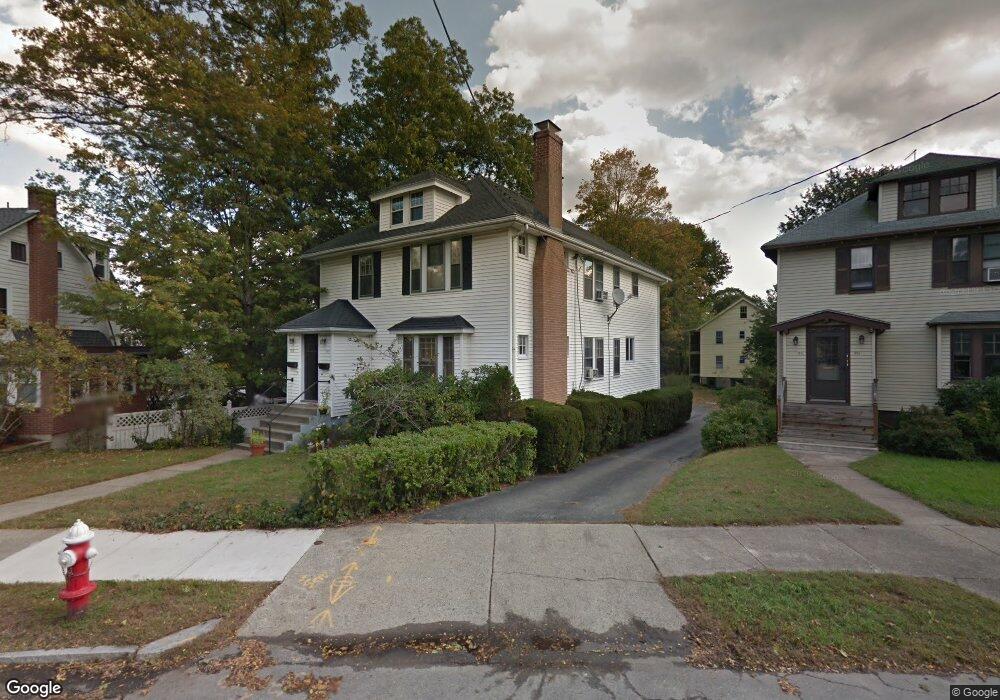
1917 Commonwealth Ave Unit 1 Auburndale, MA 02466
Auburndale NeighborhoodEstimated Value: $1,452,000 - $2,059,000
2
Beds
1
Bath
1,232
Sq Ft
$1,402/Sq Ft
Est. Value
About This Home
This home is located at 1917 Commonwealth Ave Unit 1, Auburndale, MA 02466 and is currently estimated at $1,727,159, approximately $1,401 per square foot. 1917 Commonwealth Ave Unit 1 is a home located in Middlesex County with nearby schools including Williams Elementary School, Charles E Brown Middle School, and Newton South High School.
Ownership History
Date
Name
Owned For
Owner Type
Purchase Details
Closed on
May 15, 2023
Sold by
1917-1919 Comm Ave Llc
Bought by
Mirpanah Ryan
Current Estimated Value
Purchase Details
Closed on
Jun 12, 2013
Sold by
Rossi
Bought by
Rossi Ft and Rossi
Create a Home Valuation Report for This Property
The Home Valuation Report is an in-depth analysis detailing your home's value as well as a comparison with similar homes in the area
Home Values in the Area
Average Home Value in this Area
Purchase History
| Date | Buyer | Sale Price | Title Company |
|---|---|---|---|
| Mirpanah Ryan | $1,634,000 | None Available | |
| Rossi Ft | -- | -- | |
| Rossi Ft | -- | -- |
Source: Public Records
Tax History Compared to Growth
Tax History
| Year | Tax Paid | Tax Assessment Tax Assessment Total Assessment is a certain percentage of the fair market value that is determined by local assessors to be the total taxable value of land and additions on the property. | Land | Improvement |
|---|---|---|---|---|
| 2025 | $15,070 | $1,537,800 | $0 | $1,537,800 |
| 2024 | $23,211 | $2,378,200 | $736,600 | $1,641,600 |
| 2023 | $11,004 | $1,080,900 | $595,500 | $485,400 |
| 2022 | $10,528 | $1,000,800 | $551,400 | $449,400 |
| 2021 | $9,880 | $918,200 | $505,900 | $412,300 |
| 2020 | $9,586 | $918,200 | $505,900 | $412,300 |
| 2019 | $8,967 | $858,100 | $472,800 | $385,300 |
| 2018 | $8,910 | $823,500 | $447,400 | $376,100 |
| 2017 | $8,401 | $755,500 | $410,500 | $345,000 |
| 2016 | $7,887 | $693,100 | $376,600 | $316,500 |
| 2015 | $7,521 | $647,800 | $352,000 | $295,800 |
Source: Public Records
Map
Nearby Homes
- 13 Weir St
- 62-64 Rowe St Unit B
- 51 Bourne St
- 226 Auburn St Unit 226
- 224 Auburn St Unit 224
- 224 Auburn St Unit A
- 17 Gilbert St
- 1639 Washington St
- 17 Crescent St
- 0 Duncan Rd Unit 72925240
- 10 Crescent St Unit 1
- 10 Crescent St Unit 2
- 283 Woodland Rd
- 1488 Washington St Unit 1488
- 160 Pine St Unit 12
- 1754 Washington St
- 283 Melrose St
- 17 Lasell St
- 90 Auburndale Ave
- 2202 Commonwealth Ave Unit 2
- 1917 Commonwealth Ave Unit 1919
- 1917 Commonwealth Ave Unit 1917
- 1919 Commonwealth Ave Unit 1919
- 1921 Commonwealth Ave
- 1913 Commonwealth Ave Unit 1915
- 10 Auburn Terrace
- 1909 Commonwealth Ave Unit 1911
- 1925 Commonwealth Ave
- 6 Auburn Terrace
- 3 Auburn Terrace
- 25 Normandy Rd Unit 27
- 1905 Commonwealth Ave
- 1905 Commonwealth Ave Unit 2
- 1905 Commonwealth Ave Unit 2
- 1903 Commonwealth Ave Unit Ave
- 27 Normandy Rd
- 1903 Commonwealth Ave
- 1903 Commonwealth Ave Unit 2
- 1903 Commonwealth Ave Unit 1
- 1929 Commonwealth Ave