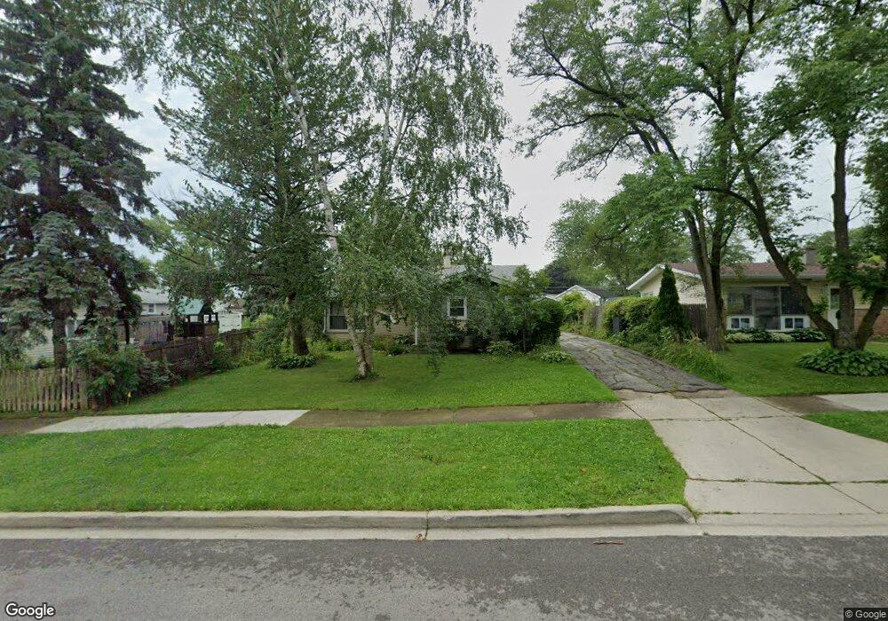
1917 Edgewood Rd Waukegan, IL 60087
Estimated Value: $247,000 - $279,181
3
Beds
2
Baths
1,145
Sq Ft
$228/Sq Ft
Est. Value
About This Home
This home is located at 1917 Edgewood Rd, Waukegan, IL 60087 and is currently estimated at $261,545, approximately $228 per square foot. 1917 Edgewood Rd is a home located in Lake County with nearby schools including H R McCall Elementary School, Jack Benny Middle School, and Waukegan High School.
Ownership History
Date
Name
Owned For
Owner Type
Purchase Details
Closed on
Dec 17, 2004
Sold by
Wilson Donovan E and Wilson Pauline A
Bought by
Dupuy Oscar and Dupuy Vonya
Current Estimated Value
Purchase Details
Closed on
May 8, 1997
Sold by
Nelson Alice M
Bought by
Wilson Donovan and Wilson Pauline
Home Financials for this Owner
Home Financials are based on the most recent Mortgage that was taken out on this home.
Original Mortgage
$120,258
Interest Rate
8.27%
Mortgage Type
VA
Create a Home Valuation Report for This Property
The Home Valuation Report is an in-depth analysis detailing your home's value as well as a comparison with similar homes in the area
Home Values in the Area
Average Home Value in this Area
Purchase History
| Date | Buyer | Sale Price | Title Company |
|---|---|---|---|
| Dupuy Oscar | $156,000 | First American Title Ins Co | |
| Wilson Donovan | $116,000 | -- |
Source: Public Records
Mortgage History
| Date | Status | Borrower | Loan Amount |
|---|---|---|---|
| Previous Owner | Wilson Donovan | $120,258 |
Source: Public Records
Tax History Compared to Growth
Tax History
| Year | Tax Paid | Tax Assessment Tax Assessment Total Assessment is a certain percentage of the fair market value that is determined by local assessors to be the total taxable value of land and additions on the property. | Land | Improvement |
|---|---|---|---|---|
| 2024 | $5,714 | $75,930 | $11,218 | $64,712 |
| 2023 | $5,260 | $68,595 | $10,134 | $58,461 |
| 2022 | $5,260 | $59,802 | $8,689 | $51,113 |
| 2021 | $5,048 | $54,417 | $8,276 | $46,141 |
| 2020 | $5,067 | $50,696 | $7,710 | $42,986 |
| 2019 | $5,049 | $46,455 | $7,065 | $39,390 |
| 2018 | $4,377 | $40,212 | $9,091 | $31,121 |
| 2017 | $4,210 | $35,576 | $8,043 | $27,533 |
| 2016 | $3,853 | $30,914 | $6,989 | $23,925 |
| 2015 | $3,660 | $27,668 | $6,255 | $21,413 |
| 2014 | $3,159 | $24,209 | $6,135 | $18,074 |
| 2012 | $4,135 | $26,228 | $6,646 | $19,582 |
Source: Public Records
Map
Nearby Homes
- 3411 N Lewis Ave
- 37966 N Cornell Rd
- 3211 Rugby Ct
- 1730 W Beach Rd
- 1636 Rice St
- 3101 Country Club Ln
- 38127 N Shore Ave
- 38362 N Manor Ave
- 38683 N Lewis Ave
- 37905 N Loyola Ave
- 1612 Whitney St
- 38697 N Cedar Ave
- 2625 Vercoe Ave
- 2613 N Lewis Ave
- 11345 W Carnahan Ave
- 11342-11364 W Wadsworth Rd
- 12312 W Audrey Ave
- 12582 W Beach Rd
- 2350 N Lewis Ave
- 2708 Dana Ave
- 1921 Edgewood Rd
- 3336 Stonegate Rd
- 3332 Stonegate Rd
- 1925 Edgewood Rd
- 3328 Stonegate Rd
- 3325 Bristol Rd
- 2001 Edgewood Rd Unit 1
- 3324 Stonegate Rd
- 1918 Edgewood Rd
- 3321 Bristol Rd
- 1922 Edgewood Rd Unit 1
- 1914 Edgewood Rd
- 2000 Devonshire Rd
- 1926 Edgewood Rd
- 3400 Stonegate Rd
- 2005 Edgewood Rd Unit 1
- 2000 Edgewood Rd Unit 1
- 2004 Devonshire Rd
- 3317 Bristol Rd
- 3337 Stonegate Rd Unit 1