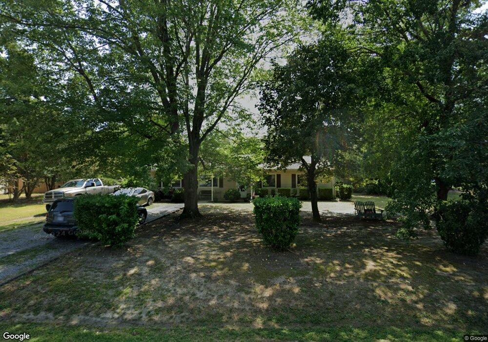
1917 Gloucester Point Dr Gloucester Point, VA 23062
Estimated Value: $305,000 - $330,000
3
Beds
2
Baths
1,320
Sq Ft
$239/Sq Ft
Est. Value
About This Home
This home is located at 1917 Gloucester Point Dr, Gloucester Point, VA 23062 and is currently estimated at $315,370, approximately $238 per square foot. 1917 Gloucester Point Dr is a home located in Gloucester County with nearby schools including Abingdon Elementary School, Page Middle School, and Gloucester High School.
Ownership History
Date
Name
Owned For
Owner Type
Purchase Details
Closed on
Mar 16, 2007
Sold by
Henry Mary H
Bought by
Henry Mary H and Worshim Preston L
Current Estimated Value
Home Financials for this Owner
Home Financials are based on the most recent Mortgage that was taken out on this home.
Original Mortgage
$187,400
Outstanding Balance
$129,622
Interest Rate
9.15%
Mortgage Type
Adjustable Rate Mortgage/ARM
Estimated Equity
$185,748
Create a Home Valuation Report for This Property
The Home Valuation Report is an in-depth analysis detailing your home's value as well as a comparison with similar homes in the area
Home Values in the Area
Average Home Value in this Area
Purchase History
| Date | Buyer | Sale Price | Title Company |
|---|---|---|---|
| Henry Mary H | -- | Transcontinental Title Co |
Source: Public Records
Mortgage History
| Date | Status | Borrower | Loan Amount |
|---|---|---|---|
| Open | Henry Mary H | $187,400 |
Source: Public Records
Tax History
| Year | Tax Paid | Tax Assessment Tax Assessment Total Assessment is a certain percentage of the fair market value that is determined by local assessors to be the total taxable value of land and additions on the property. | Land | Improvement |
|---|---|---|---|---|
| 2025 | $790 | $257,350 | $69,700 | $187,650 |
| 2024 | $790 | $257,350 | $69,700 | $187,650 |
| 2023 | $750 | $257,350 | $69,700 | $187,650 |
| 2022 | $645 | $177,870 | $55,080 | $122,790 |
| 2021 | $1,236 | $177,870 | $55,080 | $122,790 |
| 2020 | $1,236 | $177,870 | $55,080 | $122,790 |
| 2019 | $1,147 | $165,040 | $57,060 | $107,980 |
| 2017 | $1,147 | $165,040 | $57,060 | $107,980 |
| 2016 | $1,369 | $196,940 | $57,060 | $139,880 |
| 2015 | $1,339 | $182,900 | $58,000 | $124,900 |
| 2014 | $1,189 | $182,900 | $58,000 | $124,900 |
Source: Public Records
Map
Nearby Homes
- 2038 Kathleen Place
- 7763 Jordan Rd
- 7547 Villa Ct
- 7746 Farmwood Rd
- 7699 the Points Place Unit 1002
- 8157 O Carra Dr
- 7823 Sunset Dr Unit 6F
- 7873 Sunset Dr Unit 3E
- 8003 Sunset Dr Unit 1E
- 8007 Sunset Dr Unit 1C
- Par A Hayes Rd
- .51ac George Washington Memorial Hwy
- 000 George Washington Memorial Hwy
- 17 George Washington Memorial Hwy
- 2022 Swiss Ln
- 1399 Mercer Rd
- 7159 Stokes Dr
- 7180 Cooks View Ln
- 2505 Low Ground Rd
- 0000 Cove Rd
- 1927 Gloucester Point Dr
- 1903 Gloucester Point Dr
- 1912 Gloucester Point Dr
- 1912 Gloucester Point Dr Unit DR
- 1922 Gloucester Point Dr
- 1922 Gloucester Point Dr Unit DR
- 1937 Gloucester Point Dr
- 1893 Gloucester Point Dr
- 1900 Gloucester Point Dr
- 7567 Bethany Church Rd
- 7567 Bethany Church Rd Unit 7571
- 1922 Hayes Rd
- 1947 Gloucester Point Dr
- 7532 Hoefork Ln
- 1886 Gloucester Point Dr
- 7546 Hoefork Ln
- 1942 Hayes Rd
- 1956 Hayes Rd
- 7593 Bethany Church Rd
- 7583 Bethany Church Rd
Your Personal Tour Guide
Ask me questions while you tour the home.