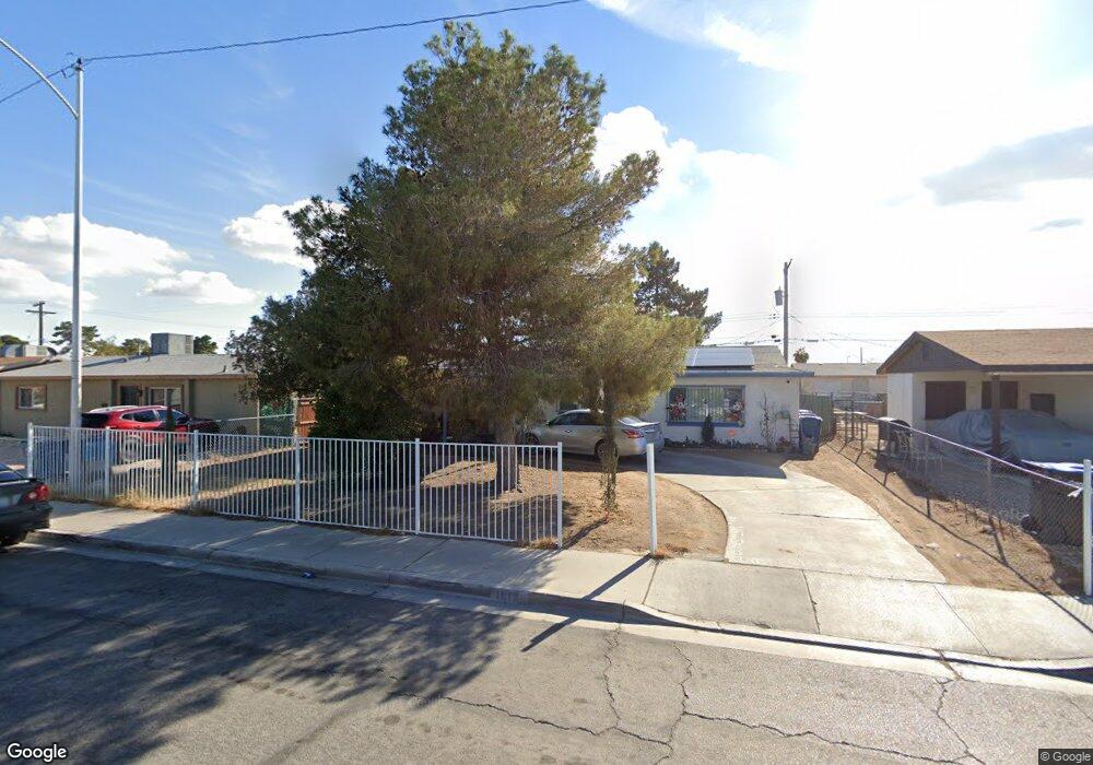
1917 Hassell Ave North Las Vegas, NV 89032
Cheyenne NeighborhoodEstimated Value: $290,000 - $348,000
3
Beds
2
Baths
1,269
Sq Ft
$245/Sq Ft
Est. Value
About This Home
This home is located at 1917 Hassell Ave, North Las Vegas, NV 89032 and is currently estimated at $310,660, approximately $244 per square foot. 1917 Hassell Ave is a home located in Clark County with nearby schools including Kermit R. Booker, Sr. Elementary School, West Prepatory Academy At Charlles I West Hall Sec, and Western High School.
Ownership History
Date
Name
Owned For
Owner Type
Purchase Details
Closed on
Dec 22, 1998
Sold by
Dorsey Pauline and Shelbey Pauline
Bought by
Dorsey Harold and Dorsey Pauline
Current Estimated Value
Home Financials for this Owner
Home Financials are based on the most recent Mortgage that was taken out on this home.
Original Mortgage
$64,640
Interest Rate
6.82%
Create a Home Valuation Report for This Property
The Home Valuation Report is an in-depth analysis detailing your home's value as well as a comparison with similar homes in the area
Home Values in the Area
Average Home Value in this Area
Purchase History
| Date | Buyer | Sale Price | Title Company |
|---|---|---|---|
| Dorsey Harold | -- | United Title Of Nevada |
Source: Public Records
Mortgage History
| Date | Status | Borrower | Loan Amount |
|---|---|---|---|
| Previous Owner | Dorsey Harold | $64,640 |
Source: Public Records
Tax History Compared to Growth
Tax History
| Year | Tax Paid | Tax Assessment Tax Assessment Total Assessment is a certain percentage of the fair market value that is determined by local assessors to be the total taxable value of land and additions on the property. | Land | Improvement |
|---|---|---|---|---|
| 2025 | $966 | $44,051 | $26,950 | $17,101 |
| 2024 | $1,026 | $44,051 | $26,950 | $17,101 |
| 2023 | $630 | $41,673 | $26,250 | $15,423 |
| 2022 | $527 | $35,867 | $22,050 | $13,817 |
| 2021 | $488 | $32,417 | $19,600 | $12,817 |
| 2020 | $450 | $32,065 | $19,600 | $12,465 |
| 2019 | $422 | $24,300 | $12,250 | $12,050 |
| 2018 | $403 | $21,786 | $10,500 | $11,286 |
| 2017 | $692 | $20,628 | $9,450 | $11,178 |
| 2016 | $630 | $17,267 | $6,300 | $10,967 |
| 2015 | $872 | $15,882 | $5,250 | $10,632 |
| 2014 | $663 | $11,603 | $3,500 | $8,103 |
Source: Public Records
Map
Nearby Homes
- 2109 Jesse Scott St
- 1932 Lawry Ave
- 1936 Lawry Ave
- 1908 Hart Ave
- 1904 Hart Ave
- 1631 Dwayne Stedman Ave
- 2100 Fred Brown Dr
- 1911 Ona Marie Ave
- 2222 N Martin l King Blvd
- 2203 Langdon Way
- 1900 W Carey Ave
- 1936 King Hill St
- 1928 King Hill St
- 1905 W McDonald Ave
- 1918 King Hill St
- 1316 Lawry Ave
- 1328 Balzar Ave
- 1249 Hassell Ave
- 1212 Balzar Ave
- 1832 Taylor Hill St
- 1913 Hassell Ave
- 1921 Hassell Ave
- 1916 Carver Ave
- 1916 Carver Ave Unit None
- 1912 Carver Ave
- 1920 Carver Ave
- 1909 Hassell Ave
- 1925 Hassell Ave
- 1916 Hassell Ave
- 1908 Carver Ave
- 1924 Carver Ave
- 1912 Hassell Ave
- 1920 Hassell Ave
- 1929 Hassell Ave
- 1905 Hassell Ave
- 1908 Hassell Ave
- 1924 Hassell Ave
- 1928 Carver Ave
- 1904 Carver Ave
- 1904 Hassell Ave