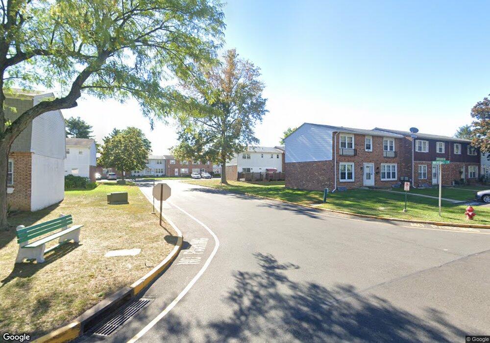
1917 Inkberry Ln Unit 2012 Bensalem, PA 19020
Estimated Value: $299,000 - $344,000
3
Beds
3
Baths
1,536
Sq Ft
$209/Sq Ft
Est. Value
About This Home
This home is located at 1917 Inkberry Ln Unit 2012, Bensalem, PA 19020 and is currently estimated at $320,617, approximately $208 per square foot. 1917 Inkberry Ln Unit 2012 is a home located in Bucks County with nearby schools including St. Anselm Elementary School, St. Ephrem School, and De La Salle Vocational School.
Ownership History
Date
Name
Owned For
Owner Type
Purchase Details
Closed on
Apr 21, 2025
Sold by
Patel Jashbhai and Patel Aruna J
Bought by
Bhandutia Ketan and Bhandutia Jyoti
Current Estimated Value
Home Financials for this Owner
Home Financials are based on the most recent Mortgage that was taken out on this home.
Original Mortgage
$225,000
Outstanding Balance
$224,001
Interest Rate
6.65%
Mortgage Type
New Conventional
Estimated Equity
$96,616
Purchase Details
Closed on
Jun 25, 1999
Sold by
Cash Helen
Bought by
Patel Jashbhia and Patel Aruna J
Home Financials for this Owner
Home Financials are based on the most recent Mortgage that was taken out on this home.
Original Mortgage
$67,000
Interest Rate
7.19%
Purchase Details
Closed on
Jun 17, 1993
Bought by
Cash Helen
Create a Home Valuation Report for This Property
The Home Valuation Report is an in-depth analysis detailing your home's value as well as a comparison with similar homes in the area
Home Values in the Area
Average Home Value in this Area
Purchase History
| Date | Buyer | Sale Price | Title Company |
|---|---|---|---|
| Bhandutia Ketan | $300,000 | My Title Pro | |
| Patel Jashbhia | $87,000 | -- | |
| Cash Helen | -- | -- |
Source: Public Records
Mortgage History
| Date | Status | Borrower | Loan Amount |
|---|---|---|---|
| Open | Bhandutia Ketan | $225,000 | |
| Previous Owner | Patel Jashbhia | $67,000 |
Source: Public Records
Tax History Compared to Growth
Tax History
| Year | Tax Paid | Tax Assessment Tax Assessment Total Assessment is a certain percentage of the fair market value that is determined by local assessors to be the total taxable value of land and additions on the property. | Land | Improvement |
|---|---|---|---|---|
| 2025 | $4,279 | $19,600 | -- | $19,600 |
| 2024 | $4,279 | $19,600 | $0 | $19,600 |
| 2023 | $4,158 | $19,600 | $0 | $19,600 |
| 2022 | $4,134 | $19,600 | $0 | $19,600 |
| 2021 | $4,134 | $19,600 | $0 | $19,600 |
| 2020 | $4,092 | $19,600 | $0 | $19,600 |
| 2019 | $4,001 | $19,600 | $0 | $19,600 |
| 2018 | $3,908 | $19,600 | $0 | $19,600 |
| 2017 | $3,884 | $19,600 | $0 | $19,600 |
| 2016 | $3,884 | $19,600 | $0 | $19,600 |
| 2015 | -- | $19,600 | $0 | $19,600 |
| 2014 | -- | $19,600 | $0 | $19,600 |
Source: Public Records
Map
Nearby Homes
- 1881 Byberry Rd
- 1839 Byberry Rd
- 3280 Fairway Rd
- 3255 Parkview Dr
- Lot 7 Galloway Rd
- Lot 6 Galloway Rd
- LOT 1 Edward Ct
- 4122 Mechanicsville Rd
- Lot 2 Edward Ct
- Lot 3 Edward Ct
- Lot 4 Edward Ct
- Lot 5 Edward Ct
- 2866 Wine Ave
- 2191 Dunksferry Rd
- 4482 E Yates Rd
- 1421 Alexander Way
- 1100 Wayland Ave
- 953 Farley Rd
- 1393 Argyle Way
- 1398 Arundel Way
- 1919 Inkberry Ln Unit 2011
- 1921 Inkberry Ln Unit 2210
- 1944 Arrowood Dr Unit 237
- 1923 Inkberry Ln Unit 209
- 1946 Arrowood Dr
- 1948 Arrowood Dr Unit 235
- 1925 Inkberry Ln
- 1950 Arrowood Dr
- 1911 Inkberry Ln Unit 211
- 1914 Inkberry Ln
- 1927 Inkberry Ln
- 1912 Inkberry Ln Unit 228
- 1952 Arrowood Dr
- 1942 Arrowood Dr Unit 24I
- 1909 Inkberry Ln Unit 212
- 1916 Inkberry Ln Unit 226
- 1918 Inkberry Ln Unit 225
- 1910 Inkberry Ln Unit 229
- 1920 Inkberry Ln Unit 224
- 1908 Inkberry Ln Unit 2210