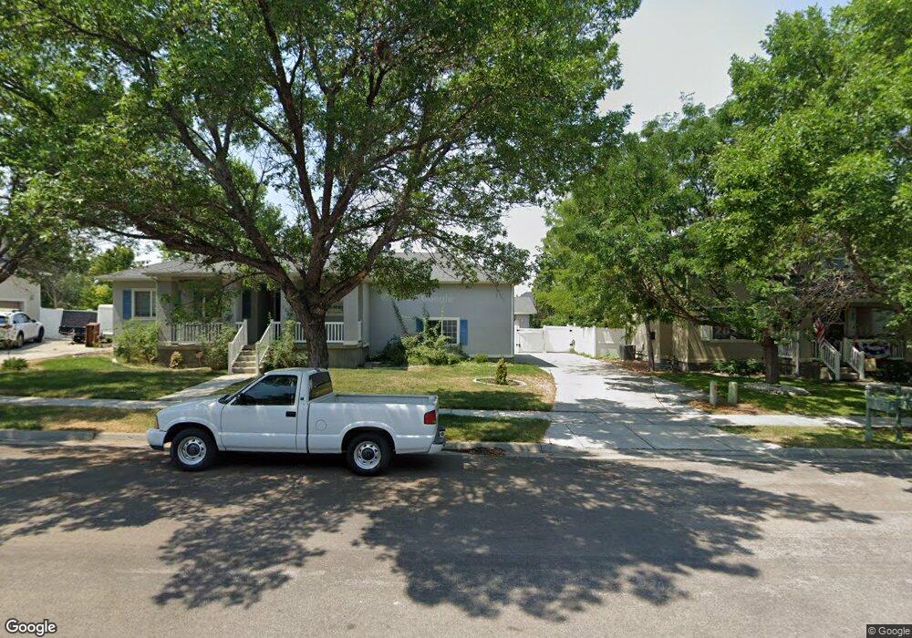
1917 N 370 E Tooele, UT 84074
Estimated Value: $465,000 - $493,000
Studio
--
Bath
3,054
Sq Ft
$155/Sq Ft
Est. Value
About This Home
This home is located at 1917 N 370 E, Tooele, UT 84074 and is currently estimated at $472,922, approximately $154 per square foot. 1917 N 370 E is a home with nearby schools including Copper Canyon Elementary School, Clarke N. Johnsen Junior High School, and Stansbury High School.
Ownership History
Date
Name
Owned For
Owner Type
Purchase Details
Closed on
Jul 22, 2020
Sold by
Mountain Vista Development Inc
Bought by
Smith Jake R and Ruesch Shalice
Current Estimated Value
Home Financials for this Owner
Home Financials are based on the most recent Mortgage that was taken out on this home.
Original Mortgage
$310,441
Outstanding Balance
$275,789
Interest Rate
3.2%
Mortgage Type
New Conventional
Estimated Equity
$197,133
Purchase Details
Closed on
Jan 2, 2020
Sold by
Canyon Village Rust Llc
Bought by
Mountain Vista Development Inc
Home Financials for this Owner
Home Financials are based on the most recent Mortgage that was taken out on this home.
Original Mortgage
$248,200
Interest Rate
3.4%
Mortgage Type
Construction
Create a Home Valuation Report for This Property
The Home Valuation Report is an in-depth analysis detailing your home's value as well as a comparison with similar homes in the area
Purchase History
| Date | Buyer | Sale Price | Title Company |
|---|---|---|---|
| Smith Jake R | -- | Sutherland Title Company | |
| Mountain Vista Development Inc | -- | Monument Title Ins Urance |
Source: Public Records
Mortgage History
| Date | Status | Borrower | Loan Amount |
|---|---|---|---|
| Open | Smith Jake R | $310,441 | |
| Previous Owner | Mountain Vista Development Inc | $248,200 |
Source: Public Records
Tax History
| Year | Tax Paid | Tax Assessment Tax Assessment Total Assessment is a certain percentage of the fair market value that is determined by local assessors to be the total taxable value of land and additions on the property. | Land | Improvement |
|---|---|---|---|---|
| 2025 | $2,836 | $430,029 | $100,000 | $330,029 |
| 2024 | $3,099 | $236,552 | $55,000 | $181,552 |
| 2023 | $3,099 | $232,275 | $52,383 | $179,892 |
| 2022 | $2,557 | $220,001 | $51,906 | $168,095 |
| 2021 | $2,335 | $168,019 | $20,763 | $147,256 |
| 2020 | $550 | $37,750 | $37,750 | $0 |
| 2019 | $0 | $0 | $0 | $0 |
Source: Public Records
Map
Nearby Homes
- 366 E 1970 N
- Dalton Plan at Western Acres
- Millbrook Plan at Western Acres
- Pioneer B (Mid Unit) Plan at Western Acres
- Oakridge Plan at Western Acres
- Pioneer A (End Unit) Plan at Western Acres
- 1760 N Patchwork Ave Unit 1257
- 1731 N Copper Canyon Dr Unit 1285
- 1791 N Patchwork Ave Unit 1237
- 1782 N Patchwork Ave Unit 1252
- 1723 N Patchwork Ave Unit 1269
- 1908 N Patchwork Ave Unit 1109
- 1721 Copper Canyon Dr Unit 1282
- 1741 Copper Canyon Dr Unit 1288
- 1735 Copper Canyon Dr Unit 1286
- 1725 Copper Canyon Dr Unit 1283
- 1833 N Blue Iris Ave Unit 1073
- 1770 N Patchwork Ave Unit 1255
- 1756 N Patchwork Ave Unit 1258
- 1727 N Patchwork Ave Unit 1268
Your Personal Tour Guide
Ask me questions while you tour the home.