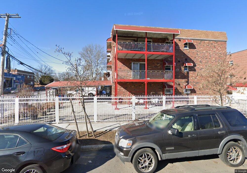
1917 Patterson Ave Bronx, NY 10473
Clason Point NeighborhoodEstimated Value: $941,000 - $1,198,000
--
Bed
--
Bath
2,925
Sq Ft
$357/Sq Ft
Est. Value
About This Home
This home is located at 1917 Patterson Ave, Bronx, NY 10473 and is currently estimated at $1,045,333, approximately $357 per square foot. 1917 Patterson Ave is a home located in Bronx County with nearby schools including P.S. 182 and Holy Cross Elementary School.
Ownership History
Date
Name
Owned For
Owner Type
Purchase Details
Closed on
Feb 28, 2001
Sold by
Maxton Princess M and Miles Jessie Pierre
Bought by
Mooteram Suresh and Mooteram Rajshree
Current Estimated Value
Home Financials for this Owner
Home Financials are based on the most recent Mortgage that was taken out on this home.
Original Mortgage
$196,000
Interest Rate
6.85%
Mortgage Type
Purchase Money Mortgage
Create a Home Valuation Report for This Property
The Home Valuation Report is an in-depth analysis detailing your home's value as well as a comparison with similar homes in the area
Home Values in the Area
Average Home Value in this Area
Purchase History
| Date | Buyer | Sale Price | Title Company |
|---|---|---|---|
| Mooteram Suresh | $122,500 | -- | |
| Mooteram Suresh | $61,500 | -- | |
| Mooteram Suresh | $61,500 | -- |
Source: Public Records
Mortgage History
| Date | Status | Borrower | Loan Amount |
|---|---|---|---|
| Previous Owner | Mooteram Suresh | $196,000 |
Source: Public Records
Tax History Compared to Growth
Tax History
| Year | Tax Paid | Tax Assessment Tax Assessment Total Assessment is a certain percentage of the fair market value that is determined by local assessors to be the total taxable value of land and additions on the property. | Land | Improvement |
|---|---|---|---|---|
| 2025 | $6,763 | $35,338 | $5,373 | $29,965 |
| 2024 | $6,763 | $35,071 | $5,432 | $29,639 |
| 2023 | $6,435 | $33,086 | $5,423 | $27,663 |
| 2022 | $5,944 | $50,760 | $8,940 | $41,820 |
| 2021 | $5,894 | $45,420 | $8,940 | $36,480 |
| 2020 | $5,937 | $39,300 | $8,940 | $30,360 |
| 2019 | $5,820 | $36,060 | $8,940 | $27,120 |
| 2018 | $5,323 | $27,572 | $7,362 | $20,210 |
| 2017 | $5,003 | $26,012 | $7,468 | $18,544 |
| 2016 | $4,596 | $24,540 | $8,940 | $15,600 |
| 2015 | $2,776 | $24,840 | $9,818 | $15,022 |
| 2014 | $2,776 | $24,653 | $9,744 | $14,909 |
Source: Public Records
Map
Nearby Homes
- 428 Bolton Ave
- 444 Underhill Ave
- 1904 Lacombe Ave
- 461 Underhill Ave
- 500 Bolton Ave
- 1903 Lacombe Ave
- 1909 Lacombe Ave
- 508 Bolton Ave
- 353 Underhill Ave
- 410 Thieriot Ave
- 321 Newman Ave
- 330 Taylor Ave
- 256 Leland Ave
- 252 Soundview Ave
- 246 Soundview Ave
- 250 Newman Ave
- 1201 Harding Park
- 429 Beach Ave
- 1101 Harding Park
- 347 Beach Ave
- 1915 Patterson Ave
- 1913 Patterson Ave
- 1911 Patterson Ave
- 417 White Plains Rd
- 1909 Patterson Ave
- 419 White Plains Rd
- 1907 Patterson Ave
- 421 White Plains Rd
- 423 White Plains Rd
- 1905 Patterson Ave
- 416 Bolton Ave
- 425 White Plains Rd
- 418 Bolton Ave
- 420 Bolton Ave
- 400 Bolton Ave
- 427 White Plains Rd
- 1912 Patterson Ave
- 1912 Patterson Ave
- 1910 Patterson Ave
- 422 Bolton Ave