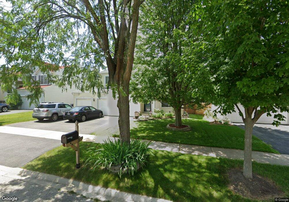
1917 Royal Ln Aurora, IL 60503
Far Southeast NeighborhoodEstimated Value: $445,000 - $493,234
4
Beds
3
Baths
2,628
Sq Ft
$182/Sq Ft
Est. Value
About This Home
This home is located at 1917 Royal Ln, Aurora, IL 60503 and is currently estimated at $477,809, approximately $181 per square foot. 1917 Royal Ln is a home located in Kendall County with nearby schools including The Wheatlands Elementary School, Bednarcik Jr. High School, and Oswego East High School.
Ownership History
Date
Name
Owned For
Owner Type
Purchase Details
Closed on
Aug 21, 2009
Sold by
Ho Kimberly
Bought by
Fota Jason M and Khuon Karen
Current Estimated Value
Home Financials for this Owner
Home Financials are based on the most recent Mortgage that was taken out on this home.
Original Mortgage
$144,000
Outstanding Balance
$94,176
Interest Rate
5.27%
Mortgage Type
New Conventional
Estimated Equity
$383,633
Purchase Details
Closed on
Jun 20, 2001
Sold by
Wheatland Single Family Llc
Bought by
Ho Kimberly
Home Financials for this Owner
Home Financials are based on the most recent Mortgage that was taken out on this home.
Original Mortgage
$157,000
Interest Rate
7.25%
Create a Home Valuation Report for This Property
The Home Valuation Report is an in-depth analysis detailing your home's value as well as a comparison with similar homes in the area
Home Values in the Area
Average Home Value in this Area
Purchase History
| Date | Buyer | Sale Price | Title Company |
|---|---|---|---|
| Fota Jason M | $180,000 | Multiple | |
| Ho Kimberly | $209,500 | Chicago Title Insurance Co |
Source: Public Records
Mortgage History
| Date | Status | Borrower | Loan Amount |
|---|---|---|---|
| Open | Fota Jason M | $144,000 | |
| Previous Owner | Ho Kimberly | $157,000 |
Source: Public Records
Tax History Compared to Growth
Tax History
| Year | Tax Paid | Tax Assessment Tax Assessment Total Assessment is a certain percentage of the fair market value that is determined by local assessors to be the total taxable value of land and additions on the property. | Land | Improvement |
|---|---|---|---|---|
| 2024 | $11,081 | $130,723 | $29,663 | $101,060 |
| 2023 | $10,281 | $115,684 | $26,250 | $89,434 |
| 2022 | $10,281 | $108,116 | $24,533 | $83,583 |
| 2021 | $9,937 | $101,043 | $22,928 | $78,115 |
| 2020 | $9,846 | $99,061 | $22,478 | $76,583 |
| 2019 | $10,513 | $103,092 | $22,478 | $80,614 |
| 2018 | $9,869 | $94,537 | $20,613 | $73,924 |
| 2017 | $9,576 | $87,131 | $18,998 | $68,133 |
| 2016 | $9,189 | $82,589 | $18,008 | $64,581 |
| 2015 | $8,875 | $76,471 | $16,674 | $59,797 |
| 2014 | -- | $72,142 | $15,730 | $56,412 |
| 2013 | -- | $72,871 | $15,889 | $56,982 |
Source: Public Records
Map
Nearby Homes
- 1881 Stoneheather Ave Unit 164
- 1966 Congrove Dr
- 1896 Sedgewood Ave Unit 2
- 2047 James Leigh Dr
- Ashton Plan at Wheatland Crossing
- Henley Plan at Wheatland Crossing
- Bellamy Plan at Wheatland Crossing
- Coventry Plan at Wheatland Crossing
- 1890 Canyon Creek Dr
- 1870 Canyon Creek Dr
- 1880 Canyon Creek Dr
- 1855 Canyon Creek Dr
- 1900 Canyon Creek Dr
- 1875 Keating Dr
- 1871 Keating Dr
- 1855 Keating Dr
- 1763 Baler Ave
- 2051 Canyon Creek Ct
- 1751 Baler Ave
- 1757 Baler Ave
- 1925 Royal Ln
- 1909 Royal Ln
- 1933 Royal Ln
- 1901 Royal Ln
- 1918 Wisteria Dr Unit 2
- 1914 Wisteria Dr Unit 1
- 1930 Wisteria Dr Unit 5
- 1926 Wisteria Dr Unit 4
- 1934 Wisteria Dr Unit 6
- 1922 Wisteria Dr Unit 3
- 1941 Royal Ln
- 1893 Royal Ln
- 1916 Royal Ln
- 1924 Royal Ln
- 1954 Wisteria Dr Unit 5
- 1938 Wisteria Dr Unit 1
- 1946 Wisteria Dr Unit 3
- 1958 Wisteria Dr Unit 6
- 1942 Wisteria Dr Unit 2
- 1950 Wisteria Dr Unit 4