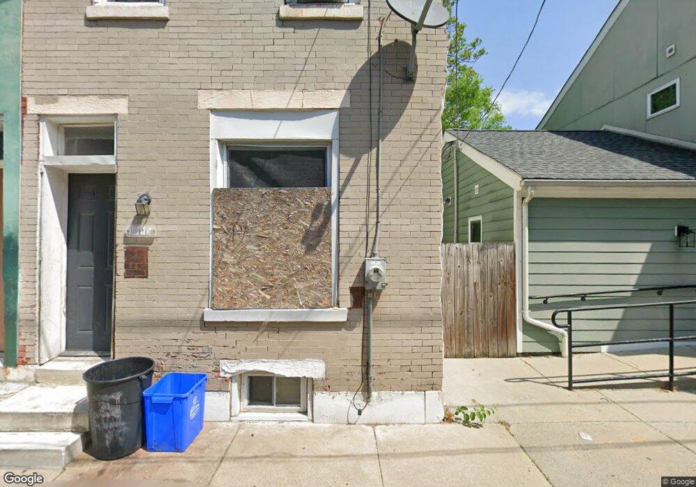
1917 W Wilt St Philadelphia, PA 19121
North Philadelphia West NeighborhoodEstimated Value: $114,000 - $136,321
2
Beds
1
Bath
730
Sq Ft
$172/Sq Ft
Est. Value
About This Home
This home is located at 1917 W Wilt St, Philadelphia, PA 19121 and is currently estimated at $125,830, approximately $172 per square foot. 1917 W Wilt St is a home located in Philadelphia County with nearby schools including Strawberry Mansion High School, Alliance for Progress Charter School, and Frederick Douglass Elementary.
Ownership History
Date
Name
Owned For
Owner Type
Purchase Details
Closed on
Jun 15, 2024
Sold by
Dockery Camye
Bought by
Mixon Andre
Current Estimated Value
Purchase Details
Closed on
Jun 5, 2019
Sold by
Dockery Camye and Estate Of Marion Mixson
Bought by
Dockery Camyde
Purchase Details
Closed on
Jul 25, 2007
Sold by
Mixson Marion and Estate Of Delores Smalls
Bought by
Mixson Marion
Create a Home Valuation Report for This Property
The Home Valuation Report is an in-depth analysis detailing your home's value as well as a comparison with similar homes in the area
Home Values in the Area
Average Home Value in this Area
Purchase History
| Date | Buyer | Sale Price | Title Company |
|---|---|---|---|
| Mixon Andre | -- | None Listed On Document | |
| Dockery Camyde | -- | None Available | |
| Mixson Marion | -- | None Available |
Source: Public Records
Tax History Compared to Growth
Tax History
| Year | Tax Paid | Tax Assessment Tax Assessment Total Assessment is a certain percentage of the fair market value that is determined by local assessors to be the total taxable value of land and additions on the property. | Land | Improvement |
|---|---|---|---|---|
| 2025 | $1,410 | $119,800 | $23,960 | $95,840 |
| 2024 | $1,410 | $119,800 | $23,960 | $95,840 |
| 2023 | $1,410 | $100,700 | $20,100 | $80,600 |
| 2022 | $1,263 | $100,700 | $20,100 | $80,600 |
| 2021 | $1,263 | $0 | $0 | $0 |
| 2020 | $1,263 | $0 | $0 | $0 |
| 2019 | $1,221 | $0 | $0 | $0 |
| 2018 | $721 | $0 | $0 | $0 |
| 2017 | $721 | $0 | $0 | $0 |
| 2016 | $721 | $0 | $0 | $0 |
| 2015 | -- | $0 | $0 | $0 |
| 2014 | -- | $51,800 | $3,106 | $48,694 |
| 2012 | -- | $4,032 | $1,335 | $2,697 |
Source: Public Records
Map
Nearby Homes
- 1823 N 19th St
- 1840 42 N Gratz St
- 1866 N Uber St
- 1835 N Gratz St
- 1812 W Berks St
- 1805 W Montgomery Ave
- 1819 W Berks St
- 1812 W Montgomery Ave
- 1732 N Gratz St
- 1800 N 18th St
- 1910 N Gratz St
- 1731 N Gratz St Unit A
- 1911 N Gratz St
- 1739 W Montgomery Ave
- 1737 W Montgomery Ave
- 1805 N 18th St
- 1717 N Gratz St
- 1912 N 18th St
- 1930 N Gratz St
- 1929 N Uber St