19170 Pando Ln Springdale, AR 72764
Estimated Value: $132,034 - $382,000
3
Beds
2
Baths
1,760
Sq Ft
$170/Sq Ft
Est. Value
About This Home
This home is located at 19170 Pando Ln, Springdale, AR 72764 and is currently estimated at $300,009, approximately $170 per square foot. 19170 Pando Ln is a home located in Washington County with nearby schools including Vandergriff Elementary School, McNair Middle School, and Woodland Junior High School.
Ownership History
Date
Name
Owned For
Owner Type
Purchase Details
Closed on
Jan 16, 2015
Sold by
Mayes Harold K and Mayes Deborah L
Bought by
Mayes Harold K
Current Estimated Value
Purchase Details
Closed on
Aug 31, 2007
Sold by
Pando Terry M and Pando Melissa L
Bought by
Mayes Harold K and Mayes Deborah L
Home Financials for this Owner
Home Financials are based on the most recent Mortgage that was taken out on this home.
Original Mortgage
$221,000
Interest Rate
6.72%
Mortgage Type
Commercial
Purchase Details
Closed on
Dec 10, 2003
Sold by
Pando Terry M and Pando Melissa L
Bought by
Perkins Mike C and Perkins Tammy P
Home Financials for this Owner
Home Financials are based on the most recent Mortgage that was taken out on this home.
Original Mortgage
$60,750
Interest Rate
5.97%
Mortgage Type
Purchase Money Mortgage
Create a Home Valuation Report for This Property
The Home Valuation Report is an in-depth analysis detailing your home's value as well as a comparison with similar homes in the area
Home Values in the Area
Average Home Value in this Area
Purchase History
| Date | Buyer | Sale Price | Title Company |
|---|---|---|---|
| Mayes Harold K | -- | City Title & Closing | |
| Mayes Harold K | $260,000 | Rtc | |
| Perkins Mike C | $68,000 | Elite Title Company Inc |
Source: Public Records
Mortgage History
| Date | Status | Borrower | Loan Amount |
|---|---|---|---|
| Closed | Mayes Harold K | $221,000 | |
| Previous Owner | Perkins Mike C | $60,750 |
Source: Public Records
Tax History Compared to Growth
Tax History
| Year | Tax Paid | Tax Assessment Tax Assessment Total Assessment is a certain percentage of the fair market value that is determined by local assessors to be the total taxable value of land and additions on the property. | Land | Improvement |
|---|---|---|---|---|
| 2024 | $605 | $12,490 | $8,040 | $4,450 |
| 2023 | $563 | $12,490 | $8,040 | $4,450 |
| 2022 | $587 | $9,820 | $6,040 | $3,780 |
| 2021 | $587 | $9,820 | $6,040 | $3,780 |
| 2020 | $577 | $9,820 | $6,040 | $3,780 |
| 2019 | $584 | $9,960 | $6,280 | $3,680 |
| 2018 | $584 | $9,960 | $6,280 | $3,680 |
| 2017 | $514 | $9,960 | $6,280 | $3,680 |
| 2016 | $579 | $9,960 | $6,280 | $3,680 |
| 2015 | $579 | $9,960 | $6,280 | $3,680 |
| 2014 | $225 | $9,870 | $5,480 | $4,390 |
Source: Public Records
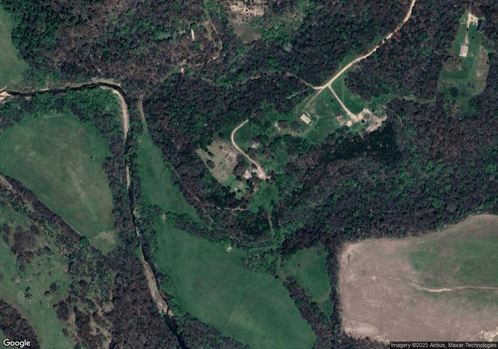
Map
Nearby Homes
- 0 Unit 1289973
- 0 Tbd Hwy 303 Lot 9 Unit 1289977
- 19512 Highway 303 S
- 21633 Highway 45 Unit Lot2
- 21633 Highway 45 Unit Lot8
- 0 Pug Gayer Rd
- 0 Edgewood Rd Unit 1315031
- TBD Tract B Hardwood Rd
- 18408 Edgewood Rd
- TBD Edgewood Rd
- 18112 Edgewood Rd
- 19988 Pug Gayer Rd
- 19849 Pug Gayer Rd
- 19840 Groth Rd
- 195 Madison 7153
- 19763 Pug Gayer Rd
- 19763 Pug Gayer Rd
- 1189 Trail Bluff Dr
- 669 Knollwood
- 1005 E Bowen Blvd
- 19202 Pando Rd
- 19202 Pando Ln
- 18977 Pando Ln
- 19153 Wheaton Ave
- 19185 Wheaton Ave
- 0 Pando & Wheaton Rd Unit 719682
- 21435 S Vanzant Rd
- 21665 S Vanzant Rd
- 18983 Hwy 303
- 18983 Highway 303
- 21585 S Vanzant Rd
- 21615 S Vanzant Rd
- 18981 Highway 303
- 21422 S Vanzant Rd
- 18986 Perry Pit Rd
- 18647 Highway 303
- 21831 S Vanzant Rd
- 0 Hwy 303 Unit 742659
- 0 Hwy 303 Unit 1048246
- 21628 S Vanzant Rd