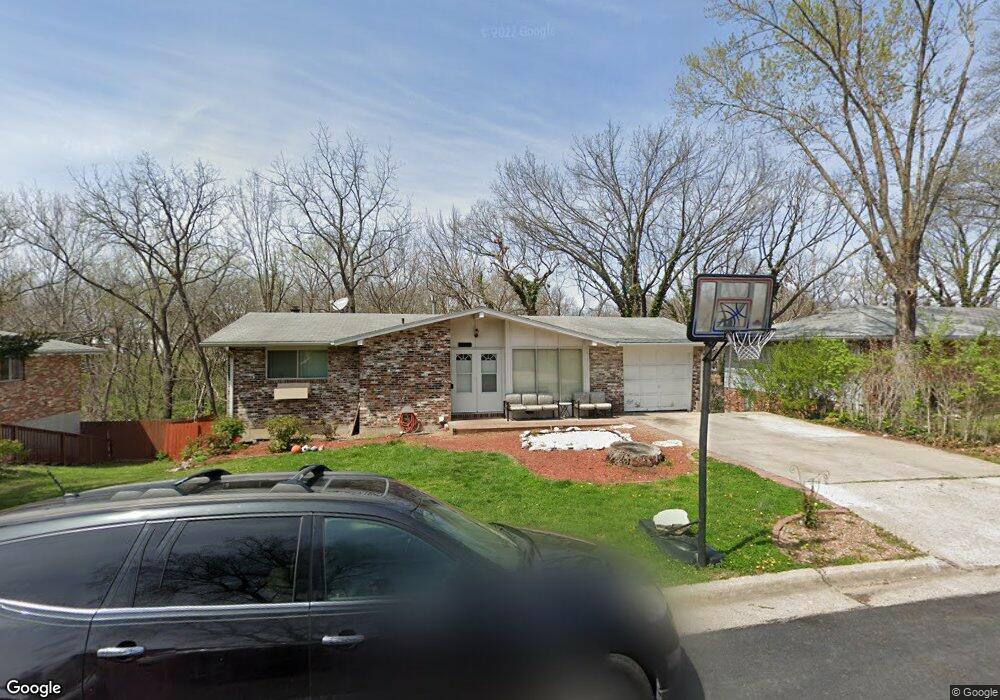
1918 Doris Dr Columbia, MO 65202
Parkade NeighborhoodEstimated Value: $251,000 - $269,573
4
Beds
3
Baths
2,216
Sq Ft
$117/Sq Ft
Est. Value
About This Home
This home is located at 1918 Doris Dr, Columbia, MO 65202 and is currently estimated at $260,191, approximately $117 per square foot. 1918 Doris Dr is a home located in Boone County with nearby schools including Parkade Elementary School, West Middle School, and David H. Hickman High School.
Ownership History
Date
Name
Owned For
Owner Type
Purchase Details
Closed on
May 4, 2006
Sold by
Martin Donald and Lafferty Brad
Bought by
Jennings Eddie and Jones Lewenda D
Current Estimated Value
Home Financials for this Owner
Home Financials are based on the most recent Mortgage that was taken out on this home.
Original Mortgage
$131,857
Outstanding Balance
$76,366
Interest Rate
6.4%
Mortgage Type
FHA
Estimated Equity
$183,825
Create a Home Valuation Report for This Property
The Home Valuation Report is an in-depth analysis detailing your home's value as well as a comparison with similar homes in the area
Home Values in the Area
Average Home Value in this Area
Purchase History
| Date | Buyer | Sale Price | Title Company |
|---|---|---|---|
| Jennings Eddie | -- | None Available |
Source: Public Records
Mortgage History
| Date | Status | Borrower | Loan Amount |
|---|---|---|---|
| Open | Jennings Eddie | $131,857 |
Source: Public Records
Tax History
| Year | Tax Paid | Tax Assessment Tax Assessment Total Assessment is a certain percentage of the fair market value that is determined by local assessors to be the total taxable value of land and additions on the property. | Land | Improvement |
|---|---|---|---|---|
| 2025 | $1,998 | $30,514 | $3,154 | $27,360 |
| 2024 | $1,798 | $26,657 | $3,154 | $23,503 |
| 2023 | $1,784 | $26,657 | $3,154 | $23,503 |
| 2022 | $1,650 | $24,681 | $3,154 | $21,527 |
| 2021 | $1,653 | $24,681 | $3,154 | $21,527 |
| 2020 | $1,629 | $22,858 | $3,154 | $19,704 |
| 2019 | $1,629 | $22,858 | $3,154 | $19,704 |
| 2018 | $1,519 | $0 | $0 | $0 |
| 2017 | $1,501 | $21,166 | $3,154 | $18,012 |
| 2016 | $1,540 | $21,166 | $3,154 | $18,012 |
| 2015 | $1,421 | $21,166 | $3,154 | $18,012 |
| 2014 | $1,429 | $21,166 | $3,154 | $18,012 |
Source: Public Records
Map
Nearby Homes
- 1602 Doris Dr
- 2410 Bentley Ct
- 2512 Emery Dr
- 2502 Bear Bluff Dr
- 713 Ridgeway Ave
- 1905 Newton Dr
- 303 Caribou Dr
- 203 Caribou Dr
- 602 & 609 Pennant
- 807 Clinkscales Rd
- 1311 W Worley St
- 602 Clinkscales Rd
- 506 W Worley St
- 1301 W Ash St
- 407 Oak St
- 2004-2006 Rashid Ct
- 102 West Blvd N
- 708 N 4th St
- 509 N Providence Rd
- 600 N Providence Rd Unit 100
- 1922 Doris Dr
- 1916 Doris Dr
- 1914 Doris Dr
- 2004 N Parklawn Ct
- 1924 Doris Dr
- 1948 Jackson St
- 1946 Jackson St
- 1919 Doris Dr
- 1952 Jackson St
- 1917 Doris Dr
- 1956 Jackson St
- 1923 Doris Dr
- 1942 Jackson St
- 2008 N Parklawn Ct
- 1912 Doris Dr
- 1925 Doris Dr
- 1938 Jackson St
- 1958 Jackson St
- 1930 Doris Dr
- 1907 Doris Dr
Your Personal Tour Guide
Ask me questions while you tour the home.