1918 Firethorn Ct SE Grand Rapids, MI 49546
East Paris NeighborhoodEstimated Value: $453,906 - $501,000
2
Beds
2
Baths
1,588
Sq Ft
$301/Sq Ft
Est. Value
About This Home
This home is located at 1918 Firethorn Ct SE, Grand Rapids, MI 49546 and is currently estimated at $477,727, approximately $300 per square foot. 1918 Firethorn Ct SE is a home located in Kent County with nearby schools including Meadow Brook Elementary School, Northern Trails 5/6 School, and Northern Hills Middle School.
Ownership History
Date
Name
Owned For
Owner Type
Purchase Details
Closed on
Jan 31, 2018
Sold by
Stankey Deann B and Stankey Cjarles F
Bought by
Rosenbach Thomas and Rosenbach Tracy
Current Estimated Value
Home Financials for this Owner
Home Financials are based on the most recent Mortgage that was taken out on this home.
Original Mortgage
$258,750
Outstanding Balance
$218,862
Interest Rate
3.94%
Mortgage Type
New Conventional
Estimated Equity
$258,865
Create a Home Valuation Report for This Property
The Home Valuation Report is an in-depth analysis detailing your home's value as well as a comparison with similar homes in the area
Home Values in the Area
Average Home Value in this Area
Purchase History
| Date | Buyer | Sale Price | Title Company |
|---|---|---|---|
| Rosenbach Thomas | $345,000 | None Available |
Source: Public Records
Mortgage History
| Date | Status | Borrower | Loan Amount |
|---|---|---|---|
| Open | Rosenbach Thomas | $258,750 |
Source: Public Records
Tax History Compared to Growth
Tax History
| Year | Tax Paid | Tax Assessment Tax Assessment Total Assessment is a certain percentage of the fair market value that is determined by local assessors to be the total taxable value of land and additions on the property. | Land | Improvement |
|---|---|---|---|---|
| 2025 | $6,316 | $206,500 | $0 | $0 |
| 2024 | $6,316 | $217,200 | $0 | $0 |
| 2023 | $5,697 | $205,900 | $0 | $0 |
| 2022 | $6,386 | $175,300 | $0 | $0 |
| 2021 | $6,220 | $159,100 | $0 | $0 |
| 2020 | $5,140 | $157,000 | $0 | $0 |
| 2019 | $6,380 | $159,500 | $0 | $0 |
| 2018 | $4,998 | $151,200 | $0 | $0 |
| 2017 | $7,160 | $142,100 | $0 | $0 |
| 2016 | $6,993 | $131,600 | $0 | $0 |
| 2015 | $6,930 | $131,600 | $0 | $0 |
| 2013 | -- | $115,300 | $0 | $0 |
Source: Public Records
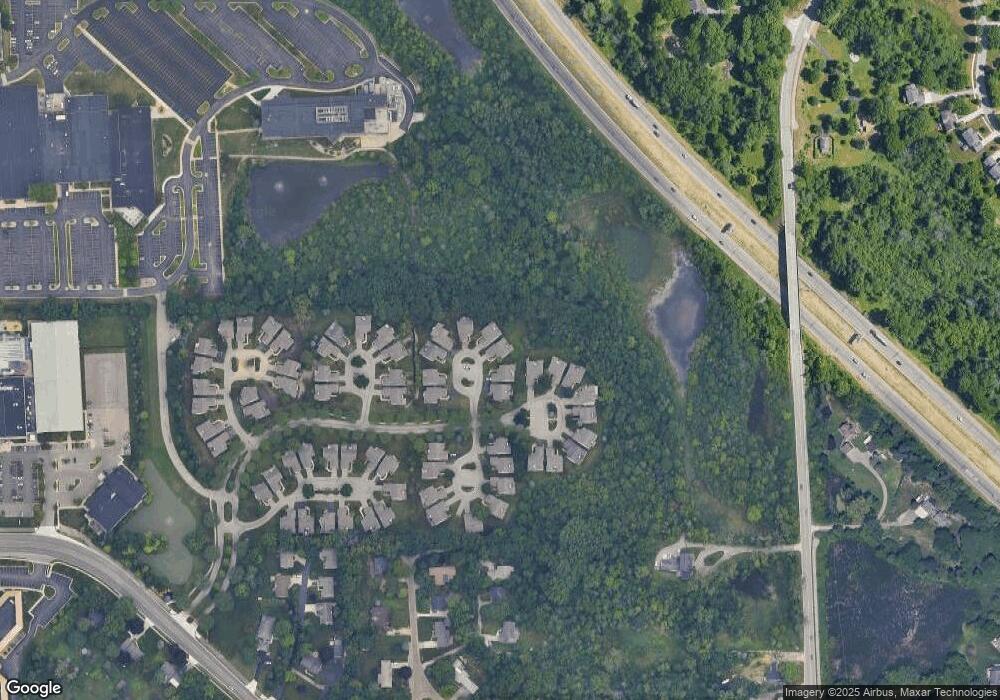
Map
Nearby Homes
- V/L 2124 Engleside Ave SE
- 1792 Forest Lake Dr SE
- 4323 Woodside Oaks Dr SE
- 4327 Woodside Oaks Dr SE
- 4478 Burton Forest Ct SE
- 1931 Keyhill Ave SE
- 3926 Lake Dr SE
- 4875 N Quail Crest Dr SE
- 4736 Burton St SE
- 1145 Eastmont Dr SE
- 1027 Waltham Ave SE
- 2462 Highridge Ln SE
- 2242 Christine Ct SE
- 4972 Luxemburg St SE Unit 8
- 2546 Highridge Ln SE
- 3029 Poplar Creek Dr SE Unit 103
- 3075 Poplar Creek Dr SE Unit 303
- 3151 Poplar Creek Dr SE Unit 202
- 3070 Riviera Ct SE
- 1000 Ada Place Dr SE
- 1908 Firethorn Ct SE
- 1908 Firethorn Ct SE Unit 44
- 1926 Firethorn Ct SE Unit 46
- 4285 Sabal Pointe Dr SE
- 1906 Firethorn Ct SE
- 1938 Firethorn Ct SE
- 1938 Firethorn Ct SE Unit 44
- 4291 Sabal Pointe Dr SE
- 1909 Firethorn Ct SE
- 1921 Firethorn Ct SE Unit 41
- 4299 Sabal Pointe Dr SE
- 1929 Firethorn Ct SE Unit 40
- 1929 Firethorn Ct SE
- 1941 Firethorn Ct SE
- 4307 Sabal Pointe Dr SE
- 1960 Burning Woods Ct SE
- 4308 Sabal Pointe Dr SE Unit 52
- 1922 Thorn Run Ct SE
- 1914 Thorn Run Ct SE
- 1914 Thorn Run Ct SE Unit 65