Estimated Value: $201,205 - $233,000
4
Beds
2
Baths
1,278
Sq Ft
$171/Sq Ft
Est. Value
About This Home
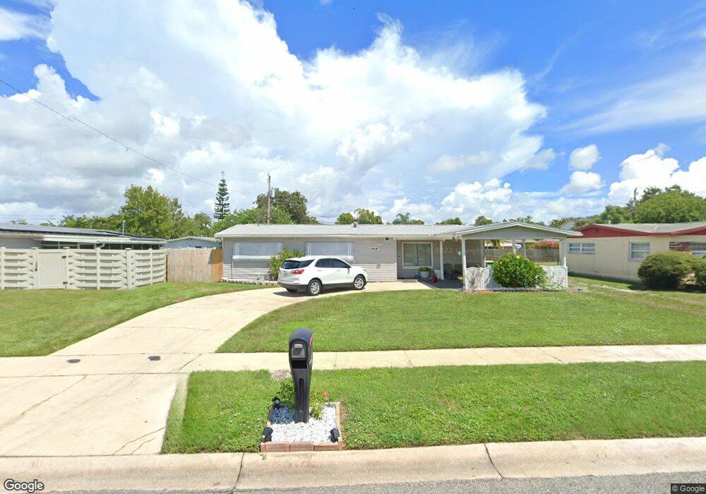
This home is located at 1918 Furman Ct, Cocoa, FL 32922 and is currently estimated at $218,301, approximately $170 per square foot. 1918 Furman Ct is a home located in Brevard County with nearby schools including Cambridge Elementary Magnet School, Cocoa High School, and Emma Jewel Charter Academy.
Ownership History
Date
Name
Owned For
Owner Type
Purchase Details
Closed on
Jan 31, 2011
Sold by
Fannie Mae
Bought by
Olson Michael and Olson Sharon
Current Estimated Value
Purchase Details
Closed on
Apr 15, 2010
Sold by
Thurn Todd J and Thomas Alicia
Bought by
Everhome Mortgage Company
Purchase Details
Closed on
Jul 8, 2005
Sold by
Hill Maxine D and Hill Billy R
Bought by
Thurn Todd J
Home Financials for this Owner
Home Financials are based on the most recent Mortgage that was taken out on this home.
Original Mortgage
$126,000
Interest Rate
5.37%
Mortgage Type
Fannie Mae Freddie Mac
Create a Home Valuation Report for This Property
The Home Valuation Report is an in-depth analysis detailing your home's value as well as a comparison with similar homes in the area
Home Values in the Area
Average Home Value in this Area
Purchase History
| Date | Buyer | Sale Price | Title Company |
|---|---|---|---|
| Olson Michael | $25,100 | Title & Abstract Agency Of A | |
| Everhome Mortgage Company | -- | None Available | |
| Thurn Todd J | $140,000 | Ticor Title |
Source: Public Records
Mortgage History
| Date | Status | Borrower | Loan Amount |
|---|---|---|---|
| Previous Owner | Thurn Todd J | $126,000 |
Source: Public Records
Tax History Compared to Growth
Tax History
| Year | Tax Paid | Tax Assessment Tax Assessment Total Assessment is a certain percentage of the fair market value that is determined by local assessors to be the total taxable value of land and additions on the property. | Land | Improvement |
|---|---|---|---|---|
| 2025 | $2,512 | $174,690 | -- | -- |
| 2024 | $2,369 | $169,920 | -- | -- |
| 2023 | $2,369 | $159,240 | $0 | $0 |
| 2022 | $2,018 | $141,070 | $0 | $0 |
| 2021 | $1,288 | $89,010 | $36,000 | $53,010 |
| 2020 | $1,546 | $78,460 | $36,000 | $42,460 |
| 2019 | $1,495 | $79,010 | $36,000 | $43,010 |
| 2018 | $1,280 | $68,320 | $25,000 | $43,320 |
| 2017 | $1,146 | $52,110 | $17,000 | $35,110 |
| 2016 | $1,053 | $42,990 | $9,000 | $33,990 |
| 2015 | $983 | $37,450 | $9,000 | $28,450 |
| 2014 | $907 | $35,800 | $10,000 | $25,800 |
Source: Public Records
Map
Nearby Homes
- 1810 Dixon Blvd
- 1326 Stetson Ct
- 1740 Rosa St
- 1735 Minnie St
- 1417 Walter St
- 2029 Ivy Dr Unit 2
- 1723 Dixon Blvd Unit 4
- 1422 E Stetson Cir
- 1424 E Stetson Cir
- 1353 S Stetson Dr
- 1711 Dixon Blvd Unit 179
- 1711 Dixon Blvd Unit 244
- 1711 Dixon Blvd Unit 244, 63, 4
- 1711 Dixon Blvd Unit 240
- 1711 Dixon Blvd Unit 210
- 1713 Dixon Blvd Unit 163
- 1686 Ackley Rd
- 1684 Ackley Rd
- 0 University Ln
- 1523 Clearlake Ct