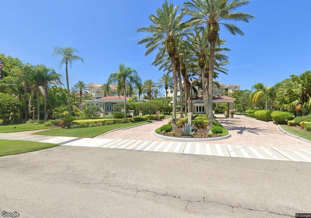
1918 Harbourside Dr Unit 904 Longboat Key, FL 34228
Estimated Value: $1,009,000 - $1,288,000
3
Beds
3
Baths
2,097
Sq Ft
$568/Sq Ft
Est. Value
About This Home
This home is located at 1918 Harbourside Dr Unit 904, Longboat Key, FL 34228 and is currently estimated at $1,190,342, approximately $567 per square foot. 1918 Harbourside Dr Unit 904 is a home located in Sarasota County with nearby schools including Southside Elementary School and Booker Middle School.
Ownership History
Date
Name
Owned For
Owner Type
Purchase Details
Closed on
May 8, 2015
Sold by
Dow Michael L and Dow Rhea A
Bought by
Boss Terry D and Boss Susan
Current Estimated Value
Home Financials for this Owner
Home Financials are based on the most recent Mortgage that was taken out on this home.
Original Mortgage
$529,125
Outstanding Balance
$391,202
Interest Rate
2.61%
Mortgage Type
Adjustable Rate Mortgage/ARM
Estimated Equity
$799,140
Purchase Details
Closed on
Sep 8, 2014
Sold by
Hietbrink Larry A and Hietbrink Nola J
Bought by
Dow Michael L and Dow Rhea A
Purchase Details
Closed on
Mar 30, 2004
Sold by
Dow Michael L and Dow Rhea A
Bought by
Hietbrink Larry A and Hietbrink Nola J
Home Financials for this Owner
Home Financials are based on the most recent Mortgage that was taken out on this home.
Original Mortgage
$496,000
Interest Rate
3%
Mortgage Type
Purchase Money Mortgage
Create a Home Valuation Report for This Property
The Home Valuation Report is an in-depth analysis detailing your home's value as well as a comparison with similar homes in the area
Home Values in the Area
Average Home Value in this Area
Purchase History
| Date | Buyer | Sale Price | Title Company |
|---|---|---|---|
| Boss Terry D | $706,000 | Asap Title Company Inc | |
| Dow Michael L | $750,000 | Attorney | |
| Hietbrink Larry A | $620,000 | -- |
Source: Public Records
Mortgage History
| Date | Status | Borrower | Loan Amount |
|---|---|---|---|
| Open | Boss Terry D | $529,125 | |
| Previous Owner | Hietbrink Larry A | $496,000 | |
| Closed | Hietbrink Larry A | $62,000 |
Source: Public Records
Tax History Compared to Growth
Tax History
| Year | Tax Paid | Tax Assessment Tax Assessment Total Assessment is a certain percentage of the fair market value that is determined by local assessors to be the total taxable value of land and additions on the property. | Land | Improvement |
|---|---|---|---|---|
| 2024 | $7,736 | $627,696 | -- | -- |
| 2023 | $7,736 | $609,414 | $0 | $0 |
| 2022 | $7,597 | $591,664 | $0 | $0 |
| 2021 | $7,717 | $574,431 | $0 | $0 |
| 2020 | $7,773 | $566,500 | $0 | $566,500 |
| 2019 | $8,824 | $646,000 | $0 | $646,000 |
| 2018 | $8,085 | $591,800 | $0 | $591,800 |
| 2017 | $7,083 | $480,400 | $0 | $480,400 |
| 2016 | $8,333 | $557,200 | $0 | $557,200 |
| 2015 | $8,426 | $562,100 | $0 | $562,100 |
| 2014 | $5,185 | $374,663 | $0 | $0 |
Source: Public Records
Map
Nearby Homes
- 1904 Harbourside Dr Unit 202
- 1932 Harbourside Dr Unit 244
- 1930 Harbourside Dr Unit 142
- 1928 Harbourside Dr Unit 1403
- 1926 Harbourside Dr Unit 1302
- 1630 Harbor Cay Ln
- 520 Harbor Cay Dr
- 2020 Harbourside Dr Unit 454
- 2020 Harbourside Dr Unit 424
- 2039 Gulf of Mexico Dr Unit G3207
- 1935 Gulf of Mexico Dr Unit G7402
- 1935 Gulf of Mexico Dr Unit G7304
- 1945 Gulf of Mexico Dr Unit M2213
- 1945 Gulf of Mexico Dr Unit M2207
- 1975 Gulf of Mexico Dr Unit G4308
- 1975 Gulf of Mexico Dr Unit G4206
- 1965 Gulf of Mexico Dr Unit G5304
- 501 Harbor Point Rd
- 1701 Gulf of Mexico Dr Unit 402
- 1701 Gulf of Mexico Dr Unit 109
- 1918 Harbourside Dr Unit 903
- 1918 Harbourside Dr Unit 901
- 1916 Harbourside Dr Unit 802
- 1916 Harbourside Dr Unit 801
- 1916 Harbourside Dr Unit 804
- 1916 Harbourside Dr Unit 803
- 1922 Drive
- 1910 Drive
- 1930 Harbourside Dr
- 1932 Harbourside Dr
- 1924 Harbourside Dr Unit 1204
- 1924 Harbourside Dr Unit 1203
- 1924 Harbourside Dr Unit 1202
- 1924 Harbourside Dr Unit 1201
- 1922 Harbourside Dr Unit 1104
- 1922 Harbourside Dr Unit 1103
- 1922 Harbourside Dr Unit 1101
- 1920 Harbourside Dr Unit 1004
- 1920 Harbourside Dr Unit 1003
- 1920 Harbourside Dr Unit 1002