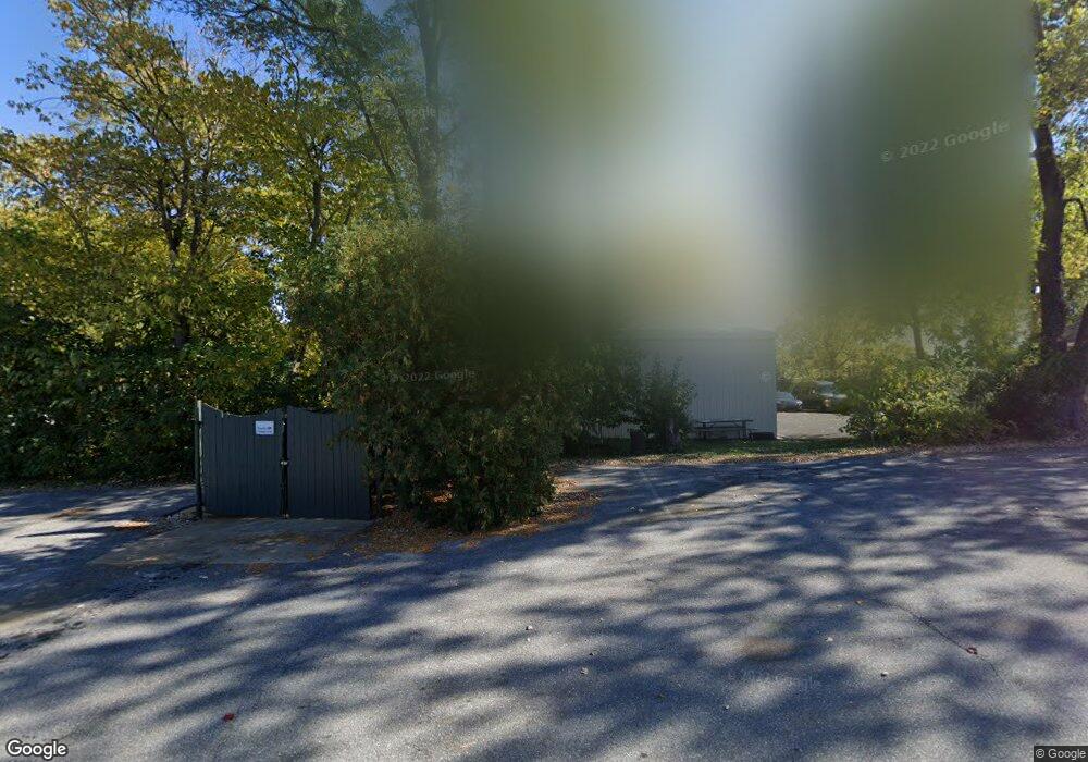
1918 Liberty Rd Sykesville, MD 21784
Estimated Value: $539,512
--
Bed
1
Bath
1,160
Sq Ft
$465/Sq Ft
Est. Value
About This Home
This home is located at 1918 Liberty Rd, Sykesville, MD 21784 and is currently estimated at $539,512, approximately $465 per square foot. 1918 Liberty Rd is a home located in Carroll County with nearby schools including Freedom District Elementary School, Oklahoma Road Middle School, and Liberty High School.
Ownership History
Date
Name
Owned For
Owner Type
Purchase Details
Closed on
Aug 28, 2015
Sold by
Llee Limited Liability Partnership
Bought by
1918 Libety Road Sykesville Llc
Current Estimated Value
Home Financials for this Owner
Home Financials are based on the most recent Mortgage that was taken out on this home.
Original Mortgage
$272,000
Outstanding Balance
$214,365
Interest Rate
4.01%
Mortgage Type
Purchase Money Mortgage
Estimated Equity
$325,147
Purchase Details
Closed on
Jan 24, 2002
Sold by
Leatherwood Helen
Bought by
Llee Limited Liability and Partnership
Create a Home Valuation Report for This Property
The Home Valuation Report is an in-depth analysis detailing your home's value as well as a comparison with similar homes in the area
Home Values in the Area
Average Home Value in this Area
Purchase History
| Date | Buyer | Sale Price | Title Company |
|---|---|---|---|
| 1918 Libety Road Sykesville Llc | $340,000 | Metropolitan Title Company | |
| Llee Limited Liability | $200,000 | -- |
Source: Public Records
Mortgage History
| Date | Status | Borrower | Loan Amount |
|---|---|---|---|
| Open | 1918 Libety Road Sykesville Llc | $272,000 |
Source: Public Records
Tax History Compared to Growth
Tax History
| Year | Tax Paid | Tax Assessment Tax Assessment Total Assessment is a certain percentage of the fair market value that is determined by local assessors to be the total taxable value of land and additions on the property. | Land | Improvement |
|---|---|---|---|---|
| 2025 | $4,750 | $407,767 | $0 | $0 |
| 2024 | $4,750 | $403,500 | $292,000 | $111,500 |
| 2023 | $4,597 | $389,867 | $0 | $0 |
| 2022 | $4,445 | $376,233 | $0 | $0 |
| 2021 | $9,029 | $362,600 | $270,300 | $92,300 |
| 2020 | $4,261 | $358,600 | $0 | $0 |
| 2019 | $4,216 | $354,600 | $0 | $0 |
| 2018 | $4,135 | $350,600 | $258,700 | $91,900 |
| 2017 | $4,135 | $350,600 | $0 | $0 |
| 2016 | -- | $350,600 | $0 | $0 |
| 2015 | -- | $441,000 | $0 | $0 |
| 2014 | -- | $431,067 | $0 | $0 |
Source: Public Records
Map
Nearby Homes
- 1822 Cassandra Dr Unit 117
- 6515 Dundee Dr Unit 240
- 6467 Cornwall Dr Unit 56
- 1909 Lennox Dr Unit 90
- 1900 Lennox Dr Unit 41
- 1900 Lennox Dr Unit 49
- 2023 Rudy Serra Dr Unit 2D
- 2016 Rudy Serra Dr Unit A
- 2016 Rudy Serra Dr Unit C
- 2003 Rudy Serra Dr Unit 1D
- 2010 Rudy Serra Dr Unit C
- 1809 Fallstaff Ct
- 6223 E Hemlock Dr
- 6670 Slacks Rd
- 6565 Macbeth Way
- Lot 1 Carroll Highlands Rd
- 6210 Rolling View Dr
- 1696 Gemini Dr
- 6741 Quad Ln
- 7025 Macbeth Way
- 1932 Liberty Rd
- 2 Liberty Rd
- 1900 Liberty Rd
- 1828 Cassandra Dr Unit 150
- 1828 Cassandra Dr Unit 152
- 1828 Cassandra Dr Unit 151
- 1828 Cassandra Dr Unit 144
- 1828 Cassandra Dr Unit 145
- 1828 Cassandra Dr Unit 143
- 1828 Cassandra Dr Unit 142
- 1828 Cassandra Dr Unit 149
- 1936 Liberty Rd
- 1912 Liberty Rd
- 6500 Marvin Ave
- 1826 Cassandra Dr Unit 132
- 1826 Cassandra Dr Unit 140
- 1826 Cassandra Dr Unit 137
- 1826 Cassandra Dr Unit 129
- 1826 Cassandra Dr Unit 134
- 1826 Cassandra Dr Unit 139