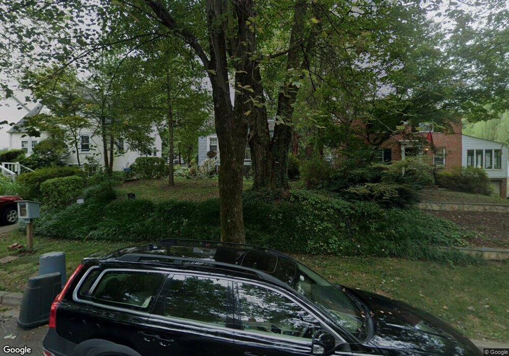
1918 Locust Grove Rd Silver Spring, MD 20910
Estimated Value: $542,000 - $588,000
Studio
1
Bath
1,224
Sq Ft
$462/Sq Ft
Est. Value
About This Home
This home is located at 1918 Locust Grove Rd, Silver Spring, MD 20910 and is currently estimated at $565,980, approximately $462 per square foot. 1918 Locust Grove Rd is a home located in Montgomery County with nearby schools including Woodlin Elementary School, Sligo Middle School, and Albert Einstein High School.
Ownership History
Date
Name
Owned For
Owner Type
Purchase Details
Closed on
Jul 1, 2024
Sold by
Madsen John Eric and Madsen Caren Williams
Bought by
Madsen Family Trust and Madsen
Current Estimated Value
Purchase Details
Closed on
Jan 9, 1997
Sold by
Mcbride Diane B
Bought by
Madsen Caren W and Madsen E Madsen J
Create a Home Valuation Report for This Property
The Home Valuation Report is an in-depth analysis detailing your home's value as well as a comparison with similar homes in the area
Home Values in the Area
Average Home Value in this Area
Purchase History
| Date | Buyer | Sale Price | Title Company |
|---|---|---|---|
| Madsen Family Trust | -- | None Listed On Document | |
| Madsen Family Trust | -- | None Listed On Document | |
| Madsen Caren W | $130,000 | -- | |
| Mcbride Diane B | -- | -- |
Source: Public Records
Tax History
| Year | Tax Paid | Tax Assessment Tax Assessment Total Assessment is a certain percentage of the fair market value that is determined by local assessors to be the total taxable value of land and additions on the property. | Land | Improvement |
|---|---|---|---|---|
| 2025 | $6,807 | $539,633 | -- | -- |
| 2024 | $6,807 | $527,800 | $341,800 | $186,000 |
| 2023 | $7,242 | $507,500 | $0 | $0 |
| 2022 | $5,338 | $487,200 | $0 | $0 |
| 2021 | $4,554 | $466,900 | $341,800 | $125,100 |
| 2020 | $4,554 | $425,300 | $0 | $0 |
| 2019 | $4,060 | $383,700 | $0 | $0 |
| 2018 | $3,576 | $342,100 | $244,900 | $97,200 |
| 2017 | $3,634 | $342,100 | $0 | $0 |
| 2016 | -- | $342,100 | $0 | $0 |
| 2015 | $3,391 | $344,800 | $0 | $0 |
| 2014 | $3,391 | $344,800 | $0 | $0 |
Source: Public Records
Map
Nearby Homes
- 9403 Warren St
- 9800 Georgia Ave Unit 25301
- 2209 Ellis St
- 9802 Georgia Ave Unit 26-202
- 9707 Saxony Rd
- 9820 Georgia Ave Unit 2130
- 1513 Flora Ln
- 2101 Walsh View Terrace Unit 17103
- 2107 Walsh View Terrace Unit 14-301 & 304
- 2110 Bonnywood Ln Unit 102
- 9900 Georgia Ave Unit 113
- 9900 Georgia Ave
- 9900 Georgia Ave Unit 203
- 9900 Georgia Ave
- 2208 Kimball Place
- 2209 Kimball Place
- 9907 Blundon Dr Unit 302
- 1819 Sanford Rd
- 1432 Crestridge Dr
- 1409 Crestridge Dr
- 1916 Locust Grove Rd
- 1920 Locust Grove Rd
- 1914 Locust Grove Rd
- 1922 Locust Grove Rd
- 1907 Kermit Rd Unit 19
- 1907 Kermit Rd
- 1909 Kermit Rd
- 1905 Kermit Rd Unit 20
- 1905 Kermit Rd
- 1912 Locust Grove Rd
- 9417 Riley Place
- 1926 Locust Grove Rd
- 9419 Riley Place
- 1919 Locust Grove Rd
- 1903 Kermit Rd
- 1921 Locust Grove Rd
- 1910 Locust Grove Rd
- 9501 2nd Ave
- 1917 Locust Grove Rd
- 1915 Locust Grove Rd
Your Personal Tour Guide
Ask me questions while you tour the home.