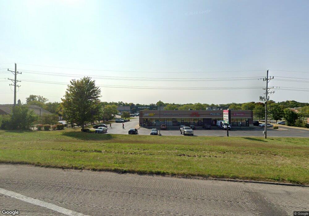
1918 N Us Highway12 Spring Grove, IL 60081
Estimated Value: $190,177 - $353,000
--
Bed
--
Bath
--
Sq Ft
1.56
Acres
About This Home
This home is located at 1918 N Us Highway12, Spring Grove, IL 60081 and is currently estimated at $285,044. 1918 N Us Highway12 is a home located in McHenry County with nearby schools including Spring Grove Elementary School, Nippersink Middle School, and Richmond-Burton High School.
Ownership History
Date
Name
Owned For
Owner Type
Purchase Details
Closed on
Mar 14, 2019
Sold by
Howe Diane
Bought by
Moulis Neil W and Moulis Warren J
Current Estimated Value
Home Financials for this Owner
Home Financials are based on the most recent Mortgage that was taken out on this home.
Original Mortgage
$136,000
Interest Rate
2.53%
Mortgage Type
Commercial
Create a Home Valuation Report for This Property
The Home Valuation Report is an in-depth analysis detailing your home's value as well as a comparison with similar homes in the area
Home Values in the Area
Average Home Value in this Area
Purchase History
| Date | Buyer | Sale Price | Title Company |
|---|---|---|---|
| Moulis Neil W | $183,500 | Fidelity Natl Title |
Source: Public Records
Mortgage History
| Date | Status | Borrower | Loan Amount |
|---|---|---|---|
| Closed | Moulis Neil W | $136,000 |
Source: Public Records
Tax History Compared to Growth
Tax History
| Year | Tax Paid | Tax Assessment Tax Assessment Total Assessment is a certain percentage of the fair market value that is determined by local assessors to be the total taxable value of land and additions on the property. | Land | Improvement |
|---|---|---|---|---|
| 2024 | $2,770 | $44,885 | $15,805 | $29,080 |
| 2023 | $2,722 | $41,863 | $14,741 | $27,122 |
| 2022 | $2,625 | $36,825 | $12,967 | $23,858 |
| 2021 | $2,596 | $34,715 | $12,224 | $22,491 |
| 2020 | $2,677 | $33,185 | $11,685 | $21,500 |
| 2019 | $1,959 | $32,669 | $11,503 | $21,166 |
| 2018 | $1,283 | $31,659 | $11,147 | $20,512 |
| 2017 | $1,425 | $29,730 | $10,468 | $19,262 |
| 2016 | $1,344 | $28,393 | $9,997 | $18,396 |
| 2013 | -- | $24,548 | $4,937 | $19,611 |
Source: Public Records
Map
Nearby Homes
- LOT 9 Mayo Ct
- 1992 Red Oak Ln
- 1996 Red Oak Ln
- 1876 Red Oak Ln
- Lot 36 Red Oak Ln
- LOT 40 Red Oak Ln
- 7397 English Oak Ln
- 2003 Red Oak Ln
- 7393 English Oak Ln
- 7392 English Oak Ln
- 1979 Red Oak Ln
- 7389 English Oak Ln
- 1975 Red Oak Ln
- 7388 English Oak Ln
- 1971 Red Oak Ln
- 7381 English Oak Ln
- 7377 English Oak Ln
- 1852 Red Oak Ln
- 7373 English Oak Ln
- 1848 Red Oak Ln
- 1918 U S 12
- 1918 Rte 12
- 2020 Rt 12 Unit A
- 2020 U S 12
- 1908 N Us Highway 12
- 7609 Asbury Ct
- 7616 Asbury Ct
- 7613 Asbury Ct
- 1906 Holian Dr
- 7618 Asbury Ct
- 1902 N Us Highway 12
- 7619 Asbury Ct
- 2020 N Us Highway 12
- 2020 N Us Highway 12 Unit A
- 2020 N Us Highway 12
- 2020 N Us Highway 12 Unit A
- 7621 Asbury Ct
- 1814 Rt 12
- 1814 Route 12
- 1814 N Us Highway 12