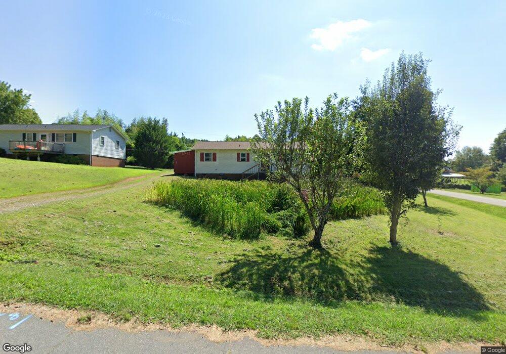
1918 Prestige Hgts Dr Conover, NC 28613
Estimated Value: $201,928 - $214,000
3
Beds
1
Bath
1,008
Sq Ft
$207/Sq Ft
Est. Value
About This Home
This home is located at 1918 Prestige Hgts Dr, Conover, NC 28613 and is currently estimated at $208,732, approximately $207 per square foot. 1918 Prestige Hgts Dr is a home located in Catawba County with nearby schools including Claremont Elementary School, River Bend Middle School, and Bunker Hill High School.
Ownership History
Date
Name
Owned For
Owner Type
Purchase Details
Closed on
Mar 24, 2014
Sold by
See Mee
Bought by
Senemounnarath Pamila
Current Estimated Value
Purchase Details
Closed on
Dec 10, 2011
Sold by
See Xia Vang
Bought by
See Mee
Purchase Details
Closed on
Jan 28, 2010
Sold by
Household Realty Corporation
Bought by
See Mee and See Xia Vang
Purchase Details
Closed on
May 11, 2009
Sold by
Pritchard Bobby and Pritchard Rita
Bought by
Household Realty Corp
Purchase Details
Closed on
Apr 6, 2004
Purchase Details
Closed on
Feb 16, 1999
Purchase Details
Closed on
Jan 13, 1984
Purchase Details
Closed on
Apr 11, 1969
Create a Home Valuation Report for This Property
The Home Valuation Report is an in-depth analysis detailing your home's value as well as a comparison with similar homes in the area
Home Values in the Area
Average Home Value in this Area
Purchase History
| Date | Buyer | Sale Price | Title Company |
|---|---|---|---|
| Senemounnarath Pamila | -- | None Available | |
| See Mee | -- | Chicago Title Insurance Co | |
| See Mee | $29,900 | None Available | |
| Household Realty Corp | $57,400 | None Available | |
| -- | -- | -- | |
| -- | -- | -- | |
| -- | -- | -- | |
| -- | -- | -- | |
| -- | -- | -- |
Source: Public Records
Tax History Compared to Growth
Tax History
| Year | Tax Paid | Tax Assessment Tax Assessment Total Assessment is a certain percentage of the fair market value that is determined by local assessors to be the total taxable value of land and additions on the property. | Land | Improvement |
|---|---|---|---|---|
| 2025 | $794 | $159,000 | $9,100 | $149,900 |
| 2024 | $794 | $159,000 | $9,100 | $149,900 |
| 2023 | $794 | $159,000 | $9,100 | $149,900 |
| 2022 | $524 | $72,300 | $9,100 | $63,200 |
| 2021 | $510 | $72,300 | $9,100 | $63,200 |
| 2020 | $510 | $72,300 | $9,100 | $63,200 |
| 2019 | $502 | $72,300 | $0 | $0 |
| 2018 | $441 | $63,400 | $9,400 | $54,000 |
| 2017 | $422 | $0 | $0 | $0 |
| 2016 | $422 | $0 | $0 | $0 |
| 2015 | $410 | $63,410 | $9,400 | $54,010 |
| 2014 | $410 | $68,300 | $9,000 | $59,300 |
Source: Public Records
Map
Nearby Homes
- 0000 Burris Rd
- 1462 Farmington Hills Dr
- 1470 Farmington Hills Dr
- 1641 Farmington Hills Dr
- 1611 Mayfair Dr
- 1925 Maius Dr Unit 30
- 1632 Farmington Hills Dr
- 1502 Farmington Hills Dr
- 1592 Farmington Hills Dr
- 206 Rowal St SE
- 712 Mount Olive Church Rd
- 710 Mount Olive Church Rd
- The Braselton II Plan at Rowe Crossing
- The Harrington Plan at Rowe Crossing
- The Coleman Plan at Rowe Crossing
- The Piedmont Plan at Rowe Crossing
- The Reynolds Plan at Rowe Crossing
- The Caldwell Plan at Rowe Crossing
- The Benson II Plan at Rowe Crossing
- 1106 3rd Street Dr SE
- 1918 Prestige Heights Dr
- 1938 Prestige Heights Dr
- 1905 Prestige Heights Dr
- 1948 Prestige Heights Dr
- 1915 Prestige Heights Dr
- 1950 Crown Dr
- 1923 Prestige Heights Dr
- 1926 Crown Dr
- 1931 Prestige Heights Dr
- 1939 Prestige Heights Dr
- 1956 Prestige Heights Dr
- 1966 Crown Dr
- 1947 Prestige Hgts Dr
- 1947 Prestige Heights Dr
- 1976 Crown Dr
- 1975 Crown Dr
- 1966 Prestige Heights Dr
- 1957 Prestige Heights Dr
- 1984 Crown Dr
- 1909 Crown Dr