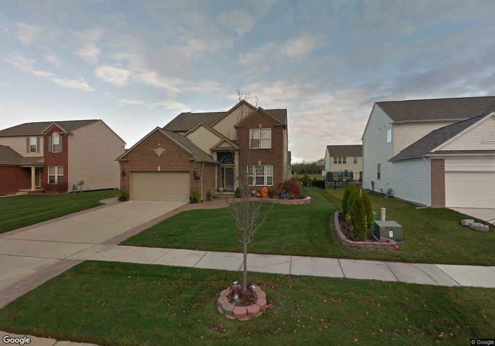
19183 Pembridge St Unit 97 Macomb, MI 48042
Estimated Value: $450,887 - $620,000
Studio
2
Baths
2,517
Sq Ft
$202/Sq Ft
Est. Value
About This Home
This home is located at 19183 Pembridge St Unit 97, Macomb, MI 48042 and is currently estimated at $508,972, approximately $202 per square foot. 19183 Pembridge St Unit 97 is a home located in Macomb County with nearby schools including New Haven High School, St. Peter Lutheran School, and Lutheran North High School.
Ownership History
Date
Name
Owned For
Owner Type
Purchase Details
Closed on
Nov 16, 2016
Sold by
Mecca Ottavio and Mecca Angelina Anna
Bought by
Mecca Ottavio and Mecca Angelina Anna
Current Estimated Value
Purchase Details
Closed on
Jun 20, 2008
Sold by
Pulte Land Co Llc
Bought by
Mecca Ottavio and Mecca Angela A
Home Financials for this Owner
Home Financials are based on the most recent Mortgage that was taken out on this home.
Original Mortgage
$77,640
Interest Rate
6.15%
Mortgage Type
Purchase Money Mortgage
Create a Home Valuation Report for This Property
The Home Valuation Report is an in-depth analysis detailing your home's value as well as a comparison with similar homes in the area
Home Values in the Area
Average Home Value in this Area
Purchase History
| Date | Buyer | Sale Price | Title Company |
|---|---|---|---|
| Mecca Ottavio | -- | None Available | |
| Mecca Ottavio | $82,250 | None Available |
Source: Public Records
Mortgage History
| Date | Status | Borrower | Loan Amount |
|---|---|---|---|
| Closed | Mecca Ottavio | $77,640 |
Source: Public Records
Tax History
| Year | Tax Paid | Tax Assessment Tax Assessment Total Assessment is a certain percentage of the fair market value that is determined by local assessors to be the total taxable value of land and additions on the property. | Land | Improvement |
|---|---|---|---|---|
| 2025 | $2,925 | $213,200 | $0 | $0 |
| 2024 | $28 | $205,200 | $0 | $0 |
| 2023 | $2,697 | $183,200 | $0 | $0 |
| 2022 | $4,090 | $159,400 | $0 | $0 |
| 2021 | $3,977 | $152,500 | $0 | $0 |
| 2020 | $2,479 | $150,500 | $0 | $0 |
| 2019 | $3,680 | $142,800 | $0 | $0 |
| 2018 | $3,475 | $135,300 | $0 | $0 |
| 2017 | $3,430 | $127,500 | $30,000 | $97,500 |
| 2016 | $3,250 | $127,470 | $0 | $0 |
| 2015 | $3,258 | $117,550 | $0 | $0 |
| 2014 | $3,258 | $108,170 | $17,000 | $91,170 |
| 2011 | $1,052 | $108,160 | $15,000 | $93,160 |
Source: Public Records
Map
Nearby Homes
- 19164 Hazelton Dr Unit 80
- 56452 Scotland
- 56508 Topaz Dr
- 56844 Topaz Dr
- 18620 Stallmann Dr
- 56386 Desert Ct
- 55649 Faldo Dr Unit 141
- 18064 Stallman Dr
- 55203 Saint Paul Dr
- 17836 Country Club Dr
- 18037 Player Dr
- 18005 Player Dr
- 18582 Stallmann Dr
- 18213 Stallman Dr Unit 137
- 17829 Stallman Dr
- 55802 Jones Dr
- 17835 Player Dr
- 55809 Jones Dr
- 55809 Jones Dr Unit 113
- 55777 Jones Dr
- 19201 Pembridge St Unit 98/01
- 19192 Pembridge St Unit 108
- 19165 Pembridge St Unit 96
- 19219 Pembridge St Unit 99
- 19210 Pembridge St Unit 107
- 19174 Pembridge St Unit 109
- 19228 Pembridge St Unit 106
- 19147 Pembridge St Unit 95
- 19147 Pembridge St
- 19200 Hazelton Dr Unit 78
- 19218 Hazelton Dr Unit 77
- 19283 England Dr
- 19265 England Dr
- 19204 Gearhart Dr
- 56600 Leeds Ln
- 19057 Pembridge St Unit 90
- 56701 Lindale Ave Unit 56
- 19015 Gearhart Dr Unit 1
- 19321 Gearhart Dr
- 19236 Hazelton Dr Unit 76