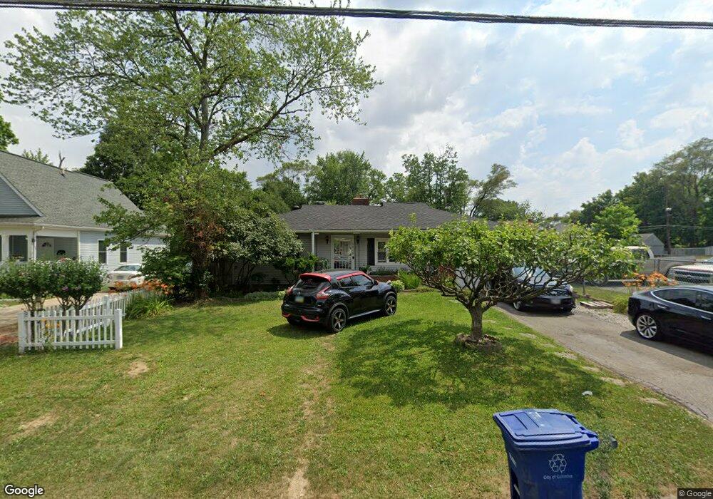
1919 Genessee Ave Columbus, OH 43211
East Linden NeighborhoodEstimated Value: $108,000 - $153,000
2
Beds
1
Bath
800
Sq Ft
$168/Sq Ft
Est. Value
About This Home
This home is located at 1919 Genessee Ave, Columbus, OH 43211 and is currently estimated at $134,581, approximately $168 per square foot. 1919 Genessee Ave is a home located in Franklin County with nearby schools including Linden STEM Academy (K-6), Linden-Mckinley Stem School On Arcadia, and Focus Learning Academy of Central Columbus.
Ownership History
Date
Name
Owned For
Owner Type
Purchase Details
Closed on
Nov 7, 1994
Sold by
Columbus Housing Ptns
Bought by
Toles Willie A Lee and Toles Christine S
Current Estimated Value
Home Financials for this Owner
Home Financials are based on the most recent Mortgage that was taken out on this home.
Original Mortgage
$46,000
Interest Rate
8.75%
Mortgage Type
New Conventional
Purchase Details
Closed on
May 4, 1994
Purchase Details
Closed on
Jan 6, 1994
Create a Home Valuation Report for This Property
The Home Valuation Report is an in-depth analysis detailing your home's value as well as a comparison with similar homes in the area
Home Values in the Area
Average Home Value in this Area
Purchase History
| Date | Buyer | Sale Price | Title Company |
|---|---|---|---|
| Toles Willie A Lee | $46,000 | -- | |
| -- | -- | -- | |
| -- | -- | -- |
Source: Public Records
Mortgage History
| Date | Status | Borrower | Loan Amount |
|---|---|---|---|
| Closed | Toles Willie A Lee | $46,000 |
Source: Public Records
Tax History Compared to Growth
Tax History
| Year | Tax Paid | Tax Assessment Tax Assessment Total Assessment is a certain percentage of the fair market value that is determined by local assessors to be the total taxable value of land and additions on the property. | Land | Improvement |
|---|---|---|---|---|
| 2024 | $1,791 | $39,910 | $8,510 | $31,400 |
| 2023 | $1,768 | $39,910 | $8,510 | $31,400 |
| 2022 | $802 | $15,470 | $2,450 | $13,020 |
| 2021 | $804 | $15,470 | $2,450 | $13,020 |
| 2020 | $805 | $15,470 | $2,450 | $13,020 |
| 2019 | $805 | $13,270 | $2,100 | $11,170 |
| 2018 | $876 | $13,270 | $2,100 | $11,170 |
| 2017 | $925 | $13,270 | $2,100 | $11,170 |
| 2016 | $1,046 | $15,790 | $2,910 | $12,880 |
| 2015 | $950 | $15,790 | $2,910 | $12,880 |
| 2014 | $952 | $15,790 | $2,910 | $12,880 |
| 2013 | $553 | $18,585 | $3,430 | $15,155 |
Source: Public Records
Map
Nearby Homes
- 1875 Minnesota Ave
- 1938 Myrtle Ave
- 1849 Aberdeen Ave
- 1884 Aberdeen Ave
- 2480 Parkwood Ave
- 2349 Delbert Rd
- 1326 Minnesota Ave
- 1806 Harold Place
- 1827 Aberdeen Ave
- 2055 Earl Ave
- 2291 Taylor Ave
- 0 Aberdeen Ave Unit 226000728
- 1864 E Hudson St
- 2040 Loretta Ave
- 0 Parkwood Ave
- 2585 Perdue Ave
- 2765 Joyce Ave
- 1669 Manchester Ave
- 1691 E Weber Rd
- 2823 Fern Ave
- 1925 Genessee Ave
- 1933 Genessee Ave
- 2456 Delbert Rd
- 2458 Delbert Rd
- 1920 Genessee Ave
- 1926 Genessee Ave
- 1914 Genessee Ave
- 1930 Genessee Ave
- 2452 Delbert Rd
- 1910 Genessee Ave
- 2447 Bretton Place
- 1936 Genessee Ave
- 1904 Genessee Ave
- 2445 Bretton Place
- 1939 Genessee Ave
- 2457 Delbert Rd
- 1940 Genessee Ave
- 1900 Genessee Ave
- 2448 Bretton Place
- 2446 Delbert Rd