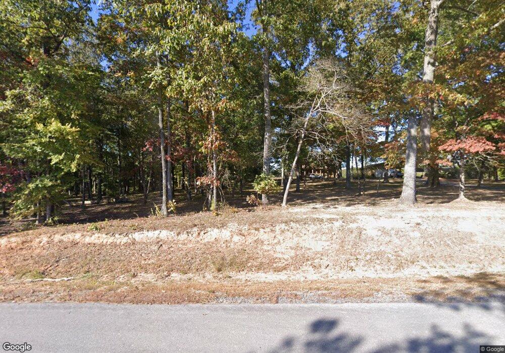
1919 Highway 311 Shelby, AL 35143
South Shelby NeighborhoodEstimated Value: $341,000 - $413,000
--
Bed
--
Bath
1,551
Sq Ft
$243/Sq Ft
Est. Value
About This Home
This home is located at 1919 Highway 311, Shelby, AL 35143 and is currently estimated at $377,000, approximately $243 per square foot. 1919 Highway 311 is a home with nearby schools including Shelby Elementary School, Columbiana Middle School, and Shelby County High School.
Ownership History
Date
Name
Owned For
Owner Type
Purchase Details
Closed on
Jun 14, 2024
Sold by
Merrell Shane
Bought by
Lowery Brayton Lane and Lowery Kallee D
Current Estimated Value
Purchase Details
Closed on
Feb 9, 2024
Sold by
Burks Harry O and Burks Robbie Lynn
Bought by
Merrell Shane
Home Financials for this Owner
Home Financials are based on the most recent Mortgage that was taken out on this home.
Original Mortgage
$400,000
Interest Rate
6.66%
Mortgage Type
New Conventional
Create a Home Valuation Report for This Property
The Home Valuation Report is an in-depth analysis detailing your home's value as well as a comparison with similar homes in the area
Home Values in the Area
Average Home Value in this Area
Purchase History
| Date | Buyer | Sale Price | Title Company |
|---|---|---|---|
| Lowery Brayton Lane | $43,000 | None Listed On Document | |
| Merrell Shane | $400,000 | None Listed On Document |
Source: Public Records
Mortgage History
| Date | Status | Borrower | Loan Amount |
|---|---|---|---|
| Previous Owner | Merrell Shane | $400,000 |
Source: Public Records
Tax History Compared to Growth
Tax History
| Year | Tax Paid | Tax Assessment Tax Assessment Total Assessment is a certain percentage of the fair market value that is determined by local assessors to be the total taxable value of land and additions on the property. | Land | Improvement |
|---|---|---|---|---|
| 2024 | $2,441 | $55,480 | $0 | $0 |
| 2023 | $1,705 | $50,460 | $0 | $0 |
| 2022 | $1,256 | $38,480 | $0 | $0 |
| 2021 | $1,161 | $35,960 | $0 | $0 |
| 2020 | $1,030 | $32,460 | $0 | $0 |
| 2019 | $1,005 | $31,800 | $0 | $0 |
| 2017 | $884 | $28,560 | $0 | $0 |
| 2015 | $668 | $22,800 | $0 | $0 |
| 2014 | $668 | $22,820 | $0 | $0 |
Source: Public Records
Map
Nearby Homes
- 0 Hwy 145
- 797 Highway 71
- 865 Highway 71
- 0 Alabama 145 Unit 23079568
- 985 Highway 71
- 0 S River Rd Unit Lot 27 21420632
- 165 Rockhill Dr
- 1477 Highway 46
- 1667 Highway 46
- 88 Christy Dr
- 24 Shelina Ln
- 154 Spring Creek Camp Rd
- 0 Highway 145 Unit 1 21425973
- 0 Highway 145 Unit 1 21387042
- 1429 Wilderness Trail Unit 1
- 234 L And m Trace
- 250 L And m Trace
- 0 S River Dr Unit 37 1354743
- 0 S River Dr Unit 35 1354739
- 289 Moonlight Bay
- 2018 Highway 311
- 1880 Highway 311
- 8169 Highway 47
- 1852 Highway 311
- 8239 Highway 47
- 1787 Highway 311
- 7835 Highway 47
- 8285 Highway 47
- 8319 Highway 47
- 8236 Highway 47
- 7785 Highway 47
- 1628 Highway 311
- 8391 Highway 47
- 95 Highway 71
- 7660 Highway 47
- 7717 Highway 47
- 101 Highway 71
- 1535 Highway 311
- 1535 Highway 311
- 42 County Road 71
