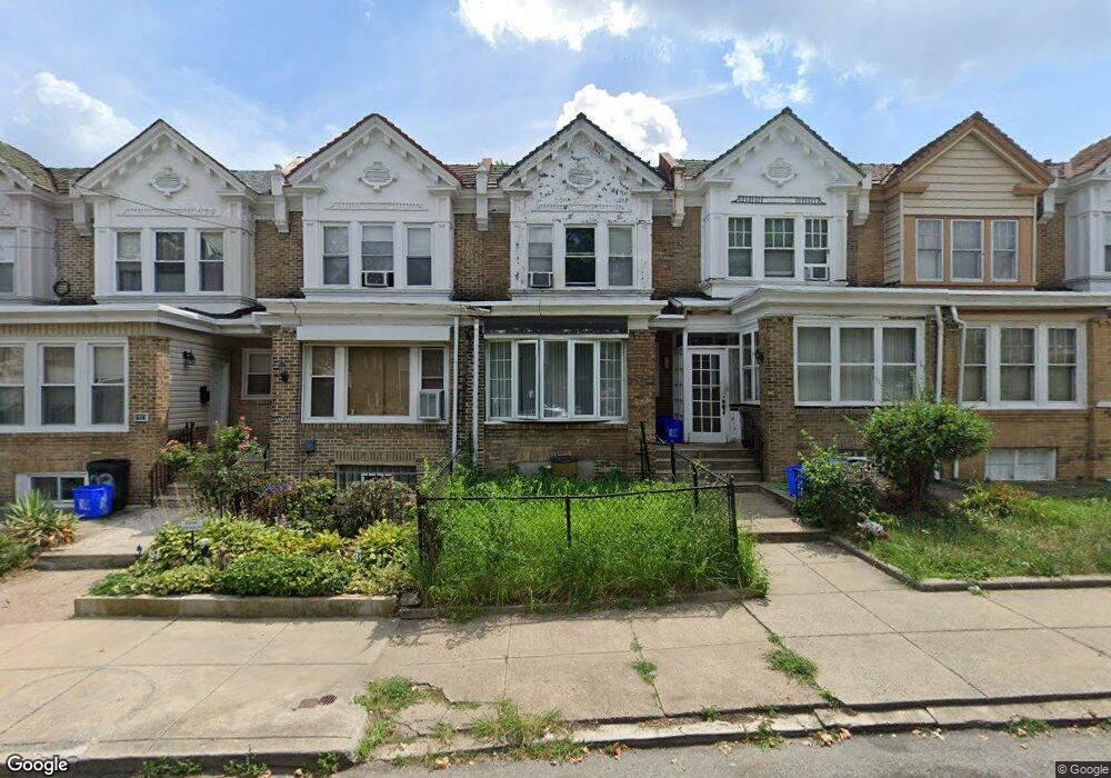
1919 N 52nd St Philadelphia, PA 19131
Wynnefield NeighborhoodEstimated Value: $178,000 - $237,000
3
Beds
1
Bath
1,424
Sq Ft
$149/Sq Ft
Est. Value
About This Home
This home is located at 1919 N 52nd St, Philadelphia, PA 19131 and is currently estimated at $211,770, approximately $148 per square foot. 1919 N 52nd St is a home located in Philadelphia County with nearby schools including Rudolph Blankenburg School, Overbrook High School, and Mastery Charter School Mann Elementary.
Ownership History
Date
Name
Owned For
Owner Type
Purchase Details
Closed on
Jun 4, 2010
Sold by
Strothers Thompson Shani
Bought by
Rivers Charise
Current Estimated Value
Home Financials for this Owner
Home Financials are based on the most recent Mortgage that was taken out on this home.
Original Mortgage
$98,671
Interest Rate
4.95%
Mortgage Type
FHA
Purchase Details
Closed on
Nov 20, 2006
Sold by
Pledged Property Ii Llc
Bought by
Strothers Thompson Shani
Purchase Details
Closed on
Apr 24, 2006
Sold by
Lloyd Linda and Deutsche Bank National Trust C
Bought by
Pledged Property Ii Llc
Create a Home Valuation Report for This Property
The Home Valuation Report is an in-depth analysis detailing your home's value as well as a comparison with similar homes in the area
Home Values in the Area
Average Home Value in this Area
Purchase History
| Date | Buyer | Sale Price | Title Company |
|---|---|---|---|
| Rivers Charise | $100,000 | None Available | |
| Strothers Thompson Shani | $68,250 | Land Title Services | |
| Pledged Property Ii Llc | $15,000 | None Available |
Source: Public Records
Mortgage History
| Date | Status | Borrower | Loan Amount |
|---|---|---|---|
| Previous Owner | Rivers Charise | $98,671 |
Source: Public Records
Tax History Compared to Growth
Tax History
| Year | Tax Paid | Tax Assessment Tax Assessment Total Assessment is a certain percentage of the fair market value that is determined by local assessors to be the total taxable value of land and additions on the property. | Land | Improvement |
|---|---|---|---|---|
| 2025 | $1,893 | $184,900 | $36,980 | $147,920 |
| 2024 | $1,893 | $184,900 | $36,980 | $147,920 |
| 2023 | $1,893 | $135,200 | $27,000 | $108,200 |
| 2022 | $907 | $90,200 | $27,000 | $63,200 |
| 2021 | $1,537 | $0 | $0 | $0 |
| 2020 | $1,537 | $0 | $0 | $0 |
| 2019 | $1,480 | $0 | $0 | $0 |
| 2018 | $1,480 | $0 | $0 | $0 |
| 2017 | $1,480 | $0 | $0 | $0 |
| 2016 | $1,060 | $0 | $0 | $0 |
| 2015 | $1,014 | $0 | $0 | $0 |
| 2014 | -- | $105,700 | $7,397 | $98,303 |
| 2012 | -- | $14,880 | $1,254 | $13,626 |
Source: Public Records
Map
Nearby Homes
- 5201 Euclid St
- 5221 W Berks St
- 1822 N 52nd St
- 2001 N 52nd St
- 5316 W Berks St
- 5225 Lebanon Ave
- 1757 N Peach St
- 5351 Morse St
- 5105 Diamond St
- 5347 W Montgomery Ave
- 1856 Georges Ln
- 1735 N Peach St
- 5325 Lebanon Ave
- 1741 Georges Ln
- 2211 N 51st St
- 2210 Bryn Mawr Ave
- 4951 Monument Rd
- 5364 Lebanon Ave
- 5389 Hazelhurst St
- 5407 Arlington St
- 1921 N 52nd St
- 1917 N 52nd St
- 1923 N 52nd St
- 1915 N 52nd St
- 1925 N 52nd St
- 1913 N 52nd St
- 1911 N 52nd St
- 1927 N 52nd St
- 1909 N 52nd St
- 1929 N 52nd St
- 1907 N 52nd St
- 1931 N 52nd St
- 1933 N 52nd St
- 1905 N 52nd St
- 1903 N 52nd St Unit 1
- 5201 W Berks St
- 1935 N 52nd St
- 5203 W Berks St
- 1937 N 52nd St
- 1901 N 52nd St Unit 1