Estimated Value: $433,000 - $447,000
3
Beds
3
Baths
1,517
Sq Ft
$292/Sq Ft
Est. Value
About This Home
This home is located at 1919 S 1080 W Unit 239, Orem, UT 84058 and is currently estimated at $443,464, approximately $292 per square foot. 1919 S 1080 W Unit 239 is a home located in Utah County with nearby schools including Vineyard Elementary School, Lakeridge Jr High School, and Mountain View High School.
Ownership History
Date
Name
Owned For
Owner Type
Purchase Details
Closed on
Aug 29, 2024
Sold by
Arner Lisa
Bought by
Rustand Eric S and Rustand Christina L
Current Estimated Value
Home Financials for this Owner
Home Financials are based on the most recent Mortgage that was taken out on this home.
Original Mortgage
$326,000
Outstanding Balance
$322,539
Interest Rate
6.77%
Mortgage Type
New Conventional
Estimated Equity
$120,925
Purchase Details
Closed on
Jul 9, 2021
Sold by
Amer David
Bought by
Amer Lisa
Purchase Details
Closed on
Sep 17, 2020
Sold by
Baordwalk Industries Llc
Bought by
Arner David and Arner Lisa
Home Financials for this Owner
Home Financials are based on the most recent Mortgage that was taken out on this home.
Original Mortgage
$286,110
Interest Rate
2.8%
Mortgage Type
New Conventional
Create a Home Valuation Report for This Property
The Home Valuation Report is an in-depth analysis detailing your home's value as well as a comparison with similar homes in the area
Home Values in the Area
Average Home Value in this Area
Purchase History
| Date | Buyer | Sale Price | Title Company |
|---|---|---|---|
| Rustand Eric S | -- | Title Guarantee | |
| Amer Lisa | -- | Accommodation | |
| Arner David | -- | Cottonwood Ttl Ins Agcy Inc |
Source: Public Records
Mortgage History
| Date | Status | Borrower | Loan Amount |
|---|---|---|---|
| Open | Rustand Eric S | $326,000 | |
| Previous Owner | Arner David | $286,110 |
Source: Public Records
Tax History Compared to Growth
Tax History
| Year | Tax Paid | Tax Assessment Tax Assessment Total Assessment is a certain percentage of the fair market value that is determined by local assessors to be the total taxable value of land and additions on the property. | Land | Improvement |
|---|---|---|---|---|
| 2025 | $1,923 | $231,880 | $62,000 | $359,600 |
| 2024 | $1,923 | $235,180 | $0 | $0 |
| 2023 | $1,647 | $216,480 | $0 | $0 |
| 2022 | $1,380 | $175,670 | $0 | $0 |
| 2021 | $1,603 | $309,100 | $46,400 | $262,700 |
| 2020 | $815 | $85,000 | $85,000 | $0 |
Source: Public Records
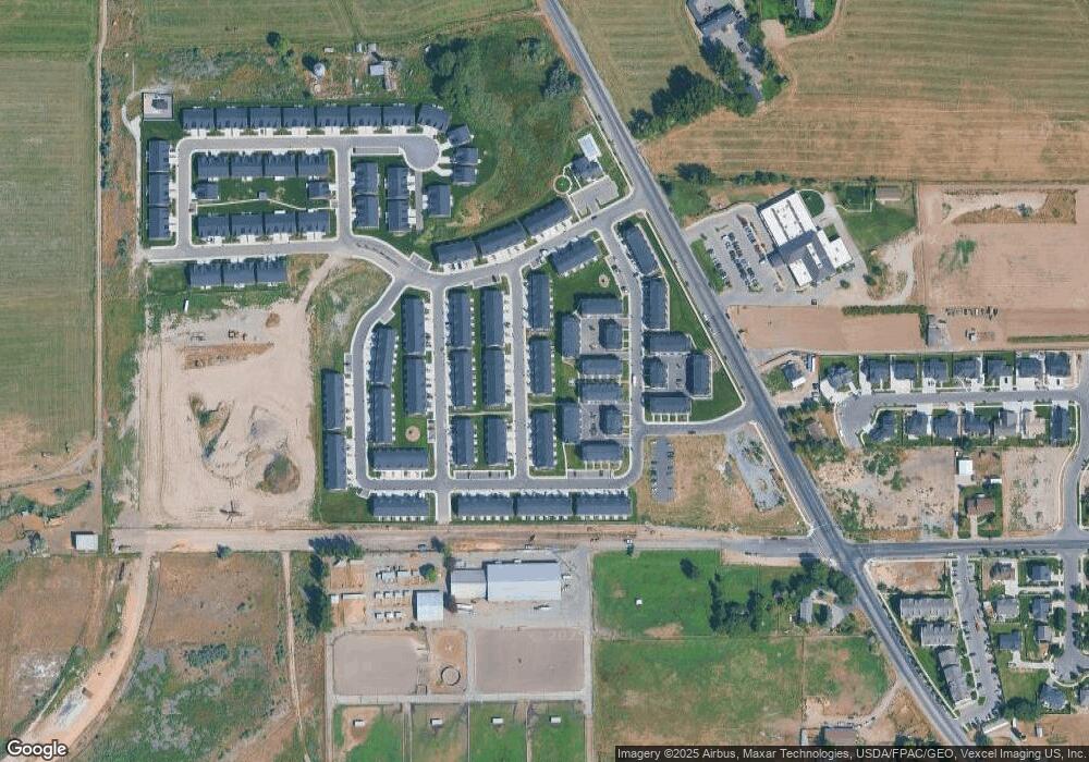
Map
Nearby Homes
- 1871 S 1030 W
- 1217 W 1860 S
- 1965 N 3050 W
- Kirkwood Scandia Plan at Broadview Shores - Cottages
- Kirkwood Farmhouse Plan at Broadview Shores - Cottages
- Sundance Ballpark Plan at Broadview Shores - Cottages
- Nyborg Plan at Broadview Shores - Cottages
- Goteborg Plan at Broadview Shores - Cottages
- Keystone Scandia Plan at Broadview Shores - Cottages
- 3157 W 1690 N
- 3206 W 1670 N
- 3191 W 1670 N
- 543 W 1770 S
- 537 W 1770 S
- 1501 N 3250 W
- 1458 N 3300 W
- 1418 N 3250 W
- 1825 Garden Plan at Broadview Shores
- 3182 W 1570 N
- 1700 Farmhouse Plan at Broadview Shores
- 1913 S 1080 W Unit 238
- 1923 S 1080 W Unit 240
- 1909 S 1080 W Unit 237
- 1897 S 1080 W Unit 236
- 1893 S 1080 W
- 1893 S 1080 W Unit 235
- 1937 S 1080 W
- 1937 S 1080 W Unit 241
- 1906 S 1030 W
- 1906 S 1030 W Unit 416
- 1942 S 1030 W
- 1942 S 1030 W Unit 433
- 1904 S 1030 W Unit 415
- 1916 S 1030 W Unit 424
- 1944 S 1030 W Unit 434
- 1944 S 1030 W
- 1938 S 1030 W Unit 425
- 1918 S 1080 W Unit 219
- 1941 S 1080 W Unit 242
- 1914 S 1080 W Unit 220