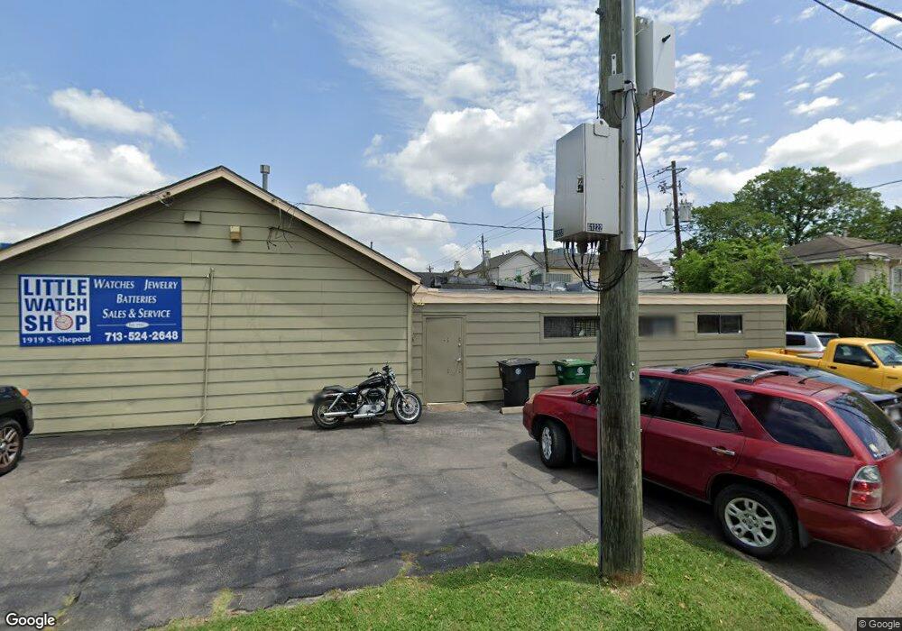
1919 S Shepherd Dr Houston, TX 77019
Montrose NeighborhoodEstimated Value: $569,456 - $598,000
--
Bed
--
Bath
1,896
Sq Ft
$309/Sq Ft
Est. Value
About This Home
This home is located at 1919 S Shepherd Dr, Houston, TX 77019 and is currently estimated at $585,819, approximately $308 per square foot. 1919 S Shepherd Dr is a home located in Harris County with nearby schools including Baker Montessori, Lanier Middle School, and Lamar High School.
Ownership History
Date
Name
Owned For
Owner Type
Purchase Details
Closed on
Jul 25, 2022
Sold by
Sullivan Sondra J
Bought by
Conner Patrick Haden
Current Estimated Value
Purchase Details
Closed on
Dec 23, 1998
Sold by
Levy Herbert E and Levy Rosemary T
Bought by
Conner Benjamin F and Conner Jan
Home Financials for this Owner
Home Financials are based on the most recent Mortgage that was taken out on this home.
Original Mortgage
$145,000
Interest Rate
6.85%
Mortgage Type
Seller Take Back
Create a Home Valuation Report for This Property
The Home Valuation Report is an in-depth analysis detailing your home's value as well as a comparison with similar homes in the area
Home Values in the Area
Average Home Value in this Area
Purchase History
| Date | Buyer | Sale Price | Title Company |
|---|---|---|---|
| Conner Patrick Haden | -- | None Listed On Document | |
| Conner Benjamin F | -- | Lawyers Title Company |
Source: Public Records
Mortgage History
| Date | Status | Borrower | Loan Amount |
|---|---|---|---|
| Previous Owner | Conner Benjamin F | $145,000 |
Source: Public Records
Tax History Compared to Growth
Tax History
| Year | Tax Paid | Tax Assessment Tax Assessment Total Assessment is a certain percentage of the fair market value that is determined by local assessors to be the total taxable value of land and additions on the property. | Land | Improvement |
|---|---|---|---|---|
| 2025 | $11,254 | $552,590 | $478,230 | $74,360 |
| 2024 | $11,254 | $537,839 | $478,230 | $59,609 |
| 2023 | $11,254 | $549,816 | $478,230 | $71,586 |
| 2022 | $11,836 | $523,589 | $478,230 | $45,359 |
| 2021 | $11,436 | $490,665 | $453,060 | $37,605 |
| 2020 | $11,904 | $491,563 | $453,060 | $38,503 |
| 2019 | $11,709 | $462,737 | $427,890 | $34,847 |
| 2018 | $11,643 | $465,403 | $427,890 | $37,513 |
| 2017 | $12,104 | $479,568 | $427,890 | $51,678 |
| 2016 | $12,555 | $473,141 | $427,890 | $45,251 |
| 2015 | $466 | $373,257 | $327,210 | $46,047 |
| 2014 | $466 | $377,927 | $332,244 | $45,683 |
Source: Public Records
Map
Nearby Homes
- 1910 Huldy St Unit A
- 2026 Welch St
- 2100 Welch St Unit C113
- 2100 Welch St Unit C101
- 2111 Welch St Unit A321
- 2111 Welch St Unit A232
- 2111 Welch St Unit A107
- 2027 Huldy St
- 1909 Brun St Unit 17
- 1909 Brun St Unit 16
- 1711 Huldy St Unit A
- 2113 Huldy St
- 2115 Huldy St
- 2117 Huldy St
- 2119 Huldy St
- 1712 Mcduffie St
- 1904 Hazard St
- 2008 Hazard St
- 1915 Spann St
- 2112 Mcduffie St
- 1915 S Shepherd Dr
- 2042 Welch St
- 1913 S Shepherd Dr
- 1912 Huldy St
- 2002 Huldy St
- 1909 S Shepherd Dr
- 1910 Huldy St Unit C
- 1910 Huldy St Unit B
- 2006 Huldy St
- 1908 Huldy St
- 1908 Huldy St
- 1906 Huldy St
- 2028 Welch St
- 1904 Huldy St
- 1902 Huldy St
- 2027 Welch St
- 1900 Huldy St
- 1919 Huldy St
- 1917 Huldy St
- 1915 Huldy St