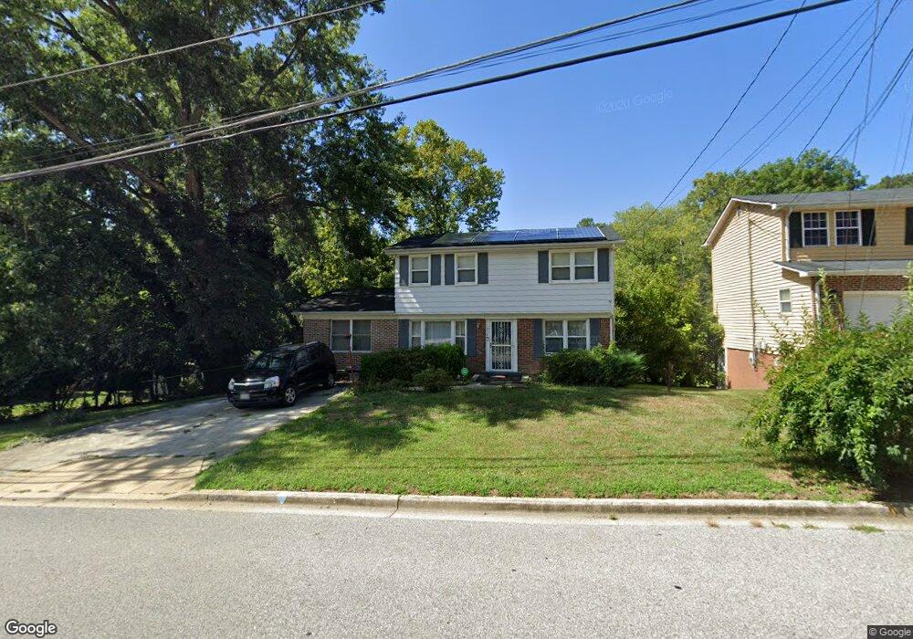
1919 Taylor Ave Fort Washington, MD 20744
Estimated Value: $359,211 - $467,000
--
Bed
2
Baths
1,568
Sq Ft
$264/Sq Ft
Est. Value
About This Home
This home is located at 1919 Taylor Ave, Fort Washington, MD 20744 and is currently estimated at $413,553, approximately $263 per square foot. 1919 Taylor Ave is a home located in Prince George's County with nearby schools including Fort Washington Forest Elementary School, Accokeek Academy, and Friendly High School.
Ownership History
Date
Name
Owned For
Owner Type
Purchase Details
Closed on
Jun 5, 1997
Sold by
Kie Prentis D
Bought by
Kie Prentis D
Current Estimated Value
Purchase Details
Closed on
Mar 10, 1995
Sold by
Hud Housing Urban Development
Bought by
Kie Prentis D
Home Financials for this Owner
Home Financials are based on the most recent Mortgage that was taken out on this home.
Original Mortgage
$97,703
Interest Rate
9.09%
Purchase Details
Closed on
Jun 8, 1994
Sold by
Gibbs Robert F
Bought by
Secretary Of H U D
Create a Home Valuation Report for This Property
The Home Valuation Report is an in-depth analysis detailing your home's value as well as a comparison with similar homes in the area
Home Values in the Area
Average Home Value in this Area
Purchase History
| Date | Buyer | Sale Price | Title Company |
|---|---|---|---|
| Kie Prentis D | -- | -- | |
| Kie Prentis D | $98,510 | -- | |
| Secretary Of H U D | $86,310 | -- |
Source: Public Records
Mortgage History
| Date | Status | Borrower | Loan Amount |
|---|---|---|---|
| Previous Owner | Secretary Of H U D | $97,703 |
Source: Public Records
Tax History Compared to Growth
Tax History
| Year | Tax Paid | Tax Assessment Tax Assessment Total Assessment is a certain percentage of the fair market value that is determined by local assessors to be the total taxable value of land and additions on the property. | Land | Improvement |
|---|---|---|---|---|
| 2025 | $3,748 | $314,800 | -- | -- |
| 2024 | $3,748 | $288,000 | $101,400 | $186,600 |
| 2023 | $3,676 | $285,100 | $0 | $0 |
| 2022 | $3,572 | $282,200 | $0 | $0 |
| 2021 | $3,472 | $279,300 | $100,700 | $178,600 |
| 2020 | $3,400 | $268,133 | $0 | $0 |
| 2019 | $3,313 | $256,967 | $0 | $0 |
| 2018 | $3,210 | $245,800 | $75,700 | $170,100 |
| 2017 | $3,073 | $225,567 | $0 | $0 |
| 2016 | -- | $205,333 | $0 | $0 |
| 2015 | $2,804 | $185,100 | $0 | $0 |
| 2014 | $2,804 | $185,100 | $0 | $0 |
Source: Public Records
Map
Nearby Homes
- 13318 Chalfont Ave
- 1916 Taylor Ave
- 14005 Livingston Rd
- 1410 Fillmore Rd
- 12904 Chalfont Ave
- 13503 Harrison Ave
- 2421 Baileys Pond Rd
- 2608 Saint Marys View Rd
- 12806 Monroe Ave
- 13102 Gerry Rd
- 0 Joseph Dr
- 2001 Medinah Ridge Rd
- 2201 Herring Creek Dr
- 13803 Stroh Ct
- 2504 Brandy Ln
- 14311 Livingston Rd
- 2509 Brandy Ln
- 2804 Saint Marys View Rd
- 0 Saint James Rd
- 13811 Doctor Edelen Dr
- 1917 Taylor Ave
- 1921 Taylor Ave
- 1817 Taylor Ave
- 1915 Taylor Ave
- 1920 Taylor Ave
- 1923 Taylor Ave
- 1819 Taylor Ave
- 1918 Taylor Ave
- 1815 Taylor Ave
- 1821 Taylor Ave
- 1913 Taylor Ave
- 1925 Taylor Ave
- 13313 Chalfont Ave
- 1823 Taylor Ave
- 1813 Taylor Ave
- 1914 Taylor Ave
- 1911 Taylor Ave
- 13309 Chalfont Ave
- 1818 Taylor Ave
- 1926 Taylor Ave