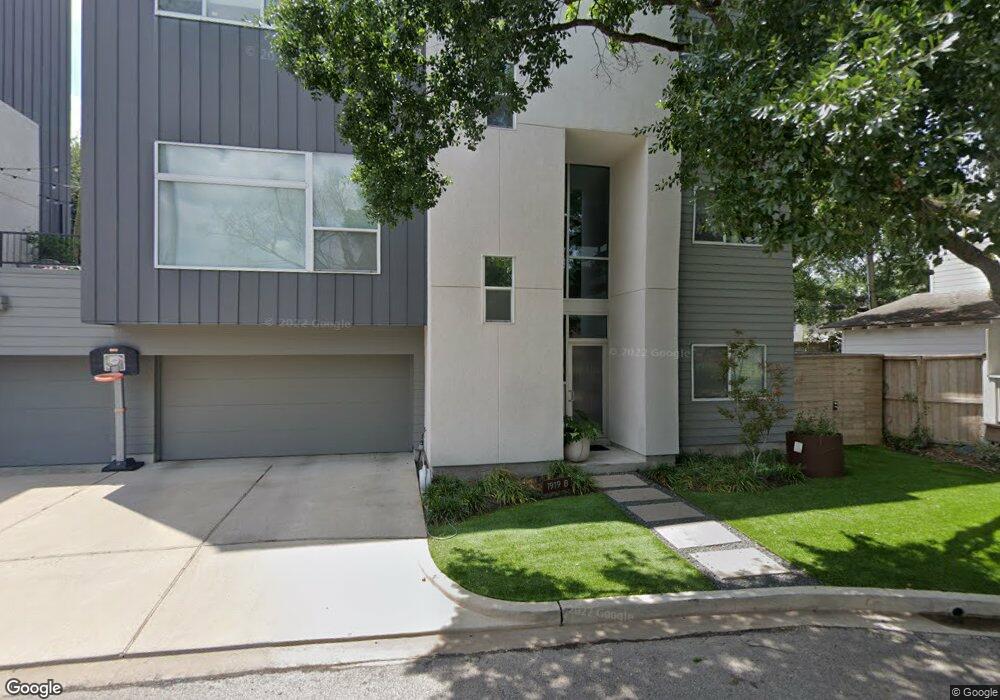
1919 Vassar St Unit A Houston, TX 77098
University Place NeighborhoodEstimated Value: $756,000 - $1,063,000
3
Beds
3
Baths
2,464
Sq Ft
$381/Sq Ft
Est. Value
About This Home
This home is located at 1919 Vassar St Unit A, Houston, TX 77098 and is currently estimated at $938,414, approximately $380 per square foot. 1919 Vassar St Unit A is a home located in Harris County with nearby schools including Poe Elementary School, Lanier Middle School, and Lamar High School.
Ownership History
Date
Name
Owned For
Owner Type
Purchase Details
Closed on
Mar 28, 2018
Sold by
Levine Msonthi B and Levine Charlotte
Bought by
Murphy Robert Stephen
Current Estimated Value
Purchase Details
Closed on
Dec 31, 2008
Sold by
Metropolitan Design Group Inc
Bought by
Levine Msonthi B
Home Financials for this Owner
Home Financials are based on the most recent Mortgage that was taken out on this home.
Original Mortgage
$417,000
Interest Rate
6.08%
Mortgage Type
Purchase Money Mortgage
Purchase Details
Closed on
Feb 15, 2008
Sold by
Nguyen Su T
Bought by
Metropolitan Design Group Inc
Home Financials for this Owner
Home Financials are based on the most recent Mortgage that was taken out on this home.
Original Mortgage
$840,000
Interest Rate
5.88%
Mortgage Type
Commercial
Create a Home Valuation Report for This Property
The Home Valuation Report is an in-depth analysis detailing your home's value as well as a comparison with similar homes in the area
Home Values in the Area
Average Home Value in this Area
Purchase History
| Date | Buyer | Sale Price | Title Company |
|---|---|---|---|
| Murphy Robert Stephen | -- | Chicago Title | |
| Levine Msonthi B | -- | Etc | |
| Metropolitan Design Group Inc | -- | Alamo Title |
Source: Public Records
Mortgage History
| Date | Status | Borrower | Loan Amount |
|---|---|---|---|
| Previous Owner | Levine Msonthi B | $417,000 | |
| Previous Owner | Metropolitan Design Group Inc | $840,000 |
Source: Public Records
Tax History Compared to Growth
Tax History
| Year | Tax Paid | Tax Assessment Tax Assessment Total Assessment is a certain percentage of the fair market value that is determined by local assessors to be the total taxable value of land and additions on the property. | Land | Improvement |
|---|---|---|---|---|
| 2025 | $18,994 | $998,748 | $218,700 | $780,048 |
| 2024 | $18,994 | $907,755 | $218,700 | $689,055 |
| 2023 | $18,994 | $907,755 | $218,700 | $689,055 |
| 2022 | $16,877 | $766,480 | $218,700 | $547,780 |
| 2021 | $17,864 | $766,480 | $218,700 | $547,780 |
| 2020 | $17,861 | $737,582 | $218,700 | $518,882 |
| 2019 | $18,697 | $738,883 | $218,700 | $520,183 |
| 2018 | $18,697 | $738,883 | $218,700 | $520,183 |
| 2017 | $18,683 | $738,883 | $218,700 | $520,183 |
| 2016 | $18,683 | $738,883 | $218,700 | $520,183 |
| 2015 | $16,468 | $741,612 | $218,700 | $522,912 |
| 2014 | $16,468 | $640,604 | $142,155 | $498,449 |
Source: Public Records
Map
Nearby Homes
- 1819 Banks St
- 1741 Banks St
- 2016 Milford St
- 4509 Hazard St
- 1925 Lexington St
- 1933 Lexington St
- 1723 Milford St
- 1849 Portsmouth St
- 2102 Banks St
- 1955 Lexington St
- 1959 Lexington St
- 1938 Norfolk St
- 1826 Portsmouth St
- 1656 Banks St
- 1802 Portsmouth St
- 1655 Castle Ct
- 1947 Portsmouth St
- 1964 Norfolk St
- 1637 Castle Ct
- 1658 Norfolk St
- 1919 Vassar St Unit B
- 1922 Vassar St
- 1923 Vassar St
- 1916 Banks St
- 1918 Vassar St
- 1910 Banks St
- 1907 Vassar St
- 1922 Banks St
- 1906 Banks St
- 1927 Vassar St
- 1908 Vassar St
- 1821 Vassar St
- 1821 Vassar St Unit 3
- 1926 Banks St
- 1904 Banks St
- 1904 Vassar St
- 1902 Vassar St
- 1931 Vassar St
- 1824 Banks St
- 1824 Banks St Unit 1