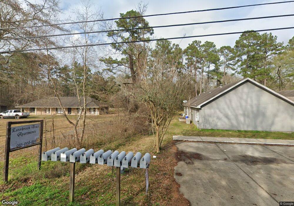
19193 Esterbrook Rd Ponchatoula, LA 70454
Estimated Value: $184,000 - $302,000
3
Beds
2
Baths
1,972
Sq Ft
$126/Sq Ft
Est. Value
About This Home
This home is located at 19193 Esterbrook Rd, Ponchatoula, LA 70454 and is currently estimated at $248,143, approximately $125 per square foot. 19193 Esterbrook Rd is a home located in Tangipahoa Parish with nearby schools including Tucker Memorial Elementary School, D.C. Reeves Elementary School, and Martha Vinyard Elementary School.
Ownership History
Date
Name
Owned For
Owner Type
Purchase Details
Closed on
Jun 12, 2023
Sold by
Heath Smith Brandon and Vicknair Courtney
Bought by
Kaur Amandeep and Singh Jatinder
Current Estimated Value
Purchase Details
Closed on
Dec 23, 2022
Sold by
Karry Vicknair Holdings Llp
Bought by
15413 Old Hammond Llc
Purchase Details
Closed on
Oct 23, 2007
Sold by
Vicknair Karry Giluso
Bought by
Karry Vicknair Holdings Llp
Purchase Details
Closed on
Aug 26, 2005
Sold by
Vicknair Ott Karry
Bought by
Esterbrook Trace Llc and Esterbrook Pines Mobile Home Park Llc
Create a Home Valuation Report for This Property
The Home Valuation Report is an in-depth analysis detailing your home's value as well as a comparison with similar homes in the area
Home Values in the Area
Average Home Value in this Area
Purchase History
| Date | Buyer | Sale Price | Title Company |
|---|---|---|---|
| Kaur Amandeep | $130,000 | None Listed On Document | |
| 15413 Old Hammond Llc | $1,325,000 | Crescent Title | |
| Karry Vicknair Holdings Llp | $250,000 | None Available | |
| Esterbrook Trace Llc | -- | None Available |
Source: Public Records
Tax History Compared to Growth
Tax History
| Year | Tax Paid | Tax Assessment Tax Assessment Total Assessment is a certain percentage of the fair market value that is determined by local assessors to be the total taxable value of land and additions on the property. | Land | Improvement |
|---|---|---|---|---|
| 2024 | $1,460 | $14,638 | $2,160 | $12,478 |
| 2023 | $1,464 | $14,477 | $2,000 | $12,477 |
| 2022 | $1,464 | $14,477 | $2,000 | $12,477 |
| 2021 | $1,468 | $14,477 | $2,000 | $12,477 |
| 2020 | $1,463 | $14,477 | $2,000 | $12,477 |
| 2019 | $1,459 | $14,477 | $2,000 | $12,477 |
| 2018 | $1,464 | $14,477 | $2,000 | $12,477 |
| 2017 | $1,463 | $14,477 | $2,000 | $12,477 |
| 2016 | $1,463 | $14,477 | $2,000 | $12,477 |
| 2015 | $1,465 | $14,477 | $2,000 | $12,477 |
| 2014 | $1,378 | $14,477 | $2,000 | $12,477 |
Source: Public Records
Map
Nearby Homes
- 19179 Esterbrook Rd
- 26461 Brownstone Dr
- 42353 Hamilton Ln
- 39267 Z Oaks Ln
- 39211 Keaghey Rd
- Lot 206 Hunter Dr
- 1.4 AC La-22 Hwy
- 20053 Esterbrook Rd
- 19176 Weinberger Rd
- 19452 Highway 22
- 0 Hwy 22 None Unit 2493104
- 39743 S Hoover Rd
- 39012 Old Sawmill Rd
- 38663 Mullers Ln
- 551 Daybreak Dr
- 669 Lake Iberville Ct
- 18226 Esterbrook Rd
- 19213 Esterbrook Rd Unit A
- 19207 Esterbrook Rd Unit B
- 19207 Esterbrook Rd Unit A
- 19207 Esterbrook Rd
- 19174 Esterbrook Rd
- 19217 Esterbrook Rd Unit B
- 19217 Esterbrook Rd Unit A
- 19198 Esterbrook Rd
- 19223 Esterbrook Rd Unit A
- 19203 Esterbrook Rd
- 19227 Esterbrook Rd Unit A
- 19220 Esterbrook Rd
- 19172 Esterbrook Rd
- 19151 Esterbrook Rd
- 19160 Esterbrook Rd
- 19247 Esterbrook Rd
- 39379 Louis Hoover Ln
- 19142 Esterbrook Rd
- 19136 Esterbrook Rd
- 19238 Esterbrook Rd