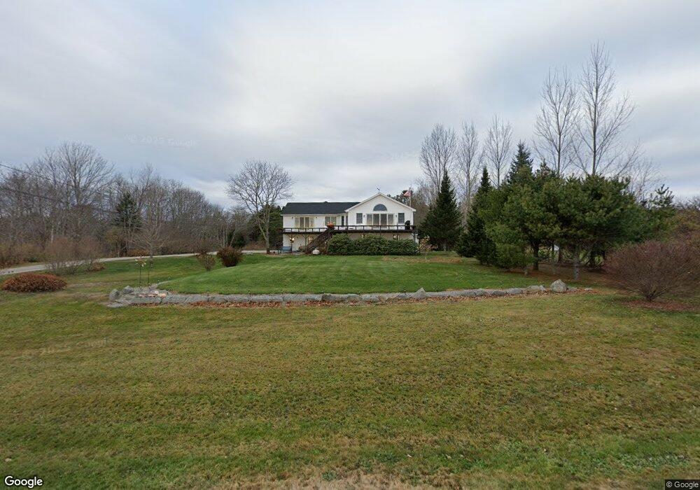
192 Allen Point Rd Harpswell, ME 04079
Harpswell Neck NeighborhoodEstimated Value: $577,000 - $829,000
3
Beds
2
Baths
1,780
Sq Ft
$369/Sq Ft
Est. Value
About This Home
This home is located at 192 Allen Point Rd, Harpswell, ME 04079 and is currently estimated at $657,379, approximately $369 per square foot. 192 Allen Point Rd is a home with nearby schools including Mt Ararat High School.
Ownership History
Date
Name
Owned For
Owner Type
Purchase Details
Closed on
Sep 29, 2023
Sold by
Wohltjen Joy A and Wohltjen Eric H
Bought by
Wohltjen Joy A and Wohltjen Eric H
Current Estimated Value
Purchase Details
Closed on
Apr 19, 2006
Sold by
Wohltjen Joy A
Bought by
Wohltjen Joy A and Wohltjen Eric H
Home Financials for this Owner
Home Financials are based on the most recent Mortgage that was taken out on this home.
Original Mortgage
$0
Interest Rate
6.49%
Mortgage Type
Purchase Money Mortgage
Create a Home Valuation Report for This Property
The Home Valuation Report is an in-depth analysis detailing your home's value as well as a comparison with similar homes in the area
Home Values in the Area
Average Home Value in this Area
Purchase History
| Date | Buyer | Sale Price | Title Company |
|---|---|---|---|
| Wohltjen Joy A | -- | None Available | |
| Wohltjen Joy A | -- | -- |
Source: Public Records
Mortgage History
| Date | Status | Borrower | Loan Amount |
|---|---|---|---|
| Previous Owner | Wohltjen Joy A | $0 |
Source: Public Records
Tax History Compared to Growth
Tax History
| Year | Tax Paid | Tax Assessment Tax Assessment Total Assessment is a certain percentage of the fair market value that is determined by local assessors to be the total taxable value of land and additions on the property. | Land | Improvement |
|---|---|---|---|---|
| 2024 | $2,474 | $389,000 | $167,900 | $221,100 |
| 2023 | $2,373 | $389,000 | $167,900 | $221,100 |
| 2022 | $2,295 | $389,000 | $167,900 | $221,100 |
| 2021 | $2,311 | $341,900 | $167,900 | $174,000 |
| 2020 | $2,304 | $341,900 | $167,900 | $174,000 |
| 2019 | $2,291 | $341,900 | $167,900 | $174,000 |
| 2018 | $2,216 | $341,900 | $167,900 | $174,000 |
| 2017 | $2,209 | $341,900 | $167,900 | $174,000 |
| 2016 | $2,188 | $341,900 | $167,900 | $174,000 |
| 2015 | $2,133 | $341,900 | $167,900 | $174,000 |
| 2013 | $1,976 | $341,900 | $167,900 | $174,000 |
Source: Public Records
Map
Nearby Homes
- Lot 2A Allen Point Rd
- Lot 2B Allen Point Rd
- 41 Spruce Brook Dr
- Lot 129 Harpswell Neck Rd
- 1 Mallard Pond Rd
- 0 Bayview Rd Unit 2 1632776
- 1450 Harpswell Neck Rd
- 1689 Harpswell Islands Rd
- 87 Lowells Cove Rd
- 16 Ash Point Rd Unit 16
- 10 Irene Ave
- 18 Ash Point Rd
- 30 Osbourne Row
- lot C Long Point Rd
- 20 Long Point Island
- 83 Central Ave
- 11 Orion Point Way
- 10 S Colony Branch Rd
- 46 Blackstone Club Rd
- Map 80 Lot 18-0 White Island
- 198 Allen Point Rd
- 0 Spruce Brook Dr Unit 1063359
- 0 Spruce Brook Dr Unit 1084122
- 182 Allen Point Rd
- 189 Allen Point Rd
- 176 Allen Point Rd
- 197 Allen Point Rd
- 205 Allen Point Rd
- 212 Allen Point Rd
- 173 Allen Point Rd
- Lot 45-1 Allen Point Rd
- 0 Allen Point Lot 83 Rd Unit 1479302
- 0 Allen Point Lot 83 Rd Unit 1469248
- 17 Green Meadows Rd
- 13 Green Meadows Rd
- 215 Allen Point Rd
- 160 Allen Point Rd
- 42 Spruce Brook Dr
- 226 Allen Point Rd
- 17 Risska Rd