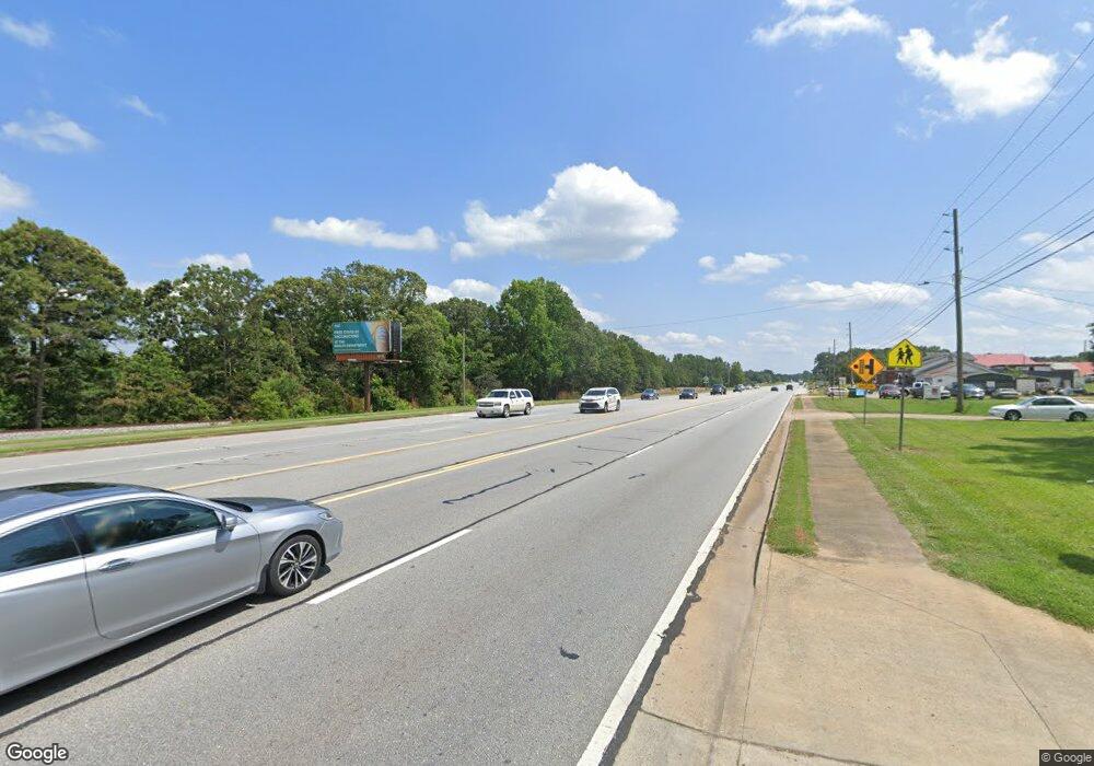
192 Birch St Nicholson, GA 30565
Estimated Value: $248,000 - $395,583
Studio
--
Bath
1,714
Sq Ft
$194/Sq Ft
Est. Value
About This Home
This home is located at 192 Birch St, Nicholson, GA 30565 and is currently estimated at $332,896, approximately $194 per square foot. 192 Birch St is a home with nearby schools including South Jackson Elementary School, East Jackson Middle School, and East Jackson Comprehensive High School.
Ownership History
Date
Name
Owned For
Owner Type
Purchase Details
Closed on
Apr 20, 2023
Sold by
David Eric
Bought by
David Michael
Current Estimated Value
Purchase Details
Closed on
Mar 4, 1997
Bought by
David Eric L
Create a Home Valuation Report for This Property
The Home Valuation Report is an in-depth analysis detailing your home's value as well as a comparison with similar homes in the area
Purchase History
| Date | Buyer | Sale Price | Title Company |
|---|---|---|---|
| David Michael | -- | -- | |
| David Eric L | -- | -- |
Source: Public Records
Tax History
| Year | Tax Paid | Tax Assessment Tax Assessment Total Assessment is a certain percentage of the fair market value that is determined by local assessors to be the total taxable value of land and additions on the property. | Land | Improvement |
|---|---|---|---|---|
| 2024 | $3,473 | $132,000 | $63,920 | $68,080 |
| 2023 | $3,508 | $130,920 | $70,760 | $60,160 |
| 2022 | $2,381 | $80,120 | $33,120 | $47,000 |
| 2021 | $2,365 | $80,120 | $33,120 | $47,000 |
| 2020 | $2,277 | $70,760 | $33,120 | $37,640 |
| 2019 | $2,320 | $70,760 | $33,120 | $37,640 |
| 2018 | $2,280 | $68,920 | $33,120 | $35,800 |
| 2017 | $2,092 | $62,902 | $30,833 | $32,069 |
| 2016 | $2,103 | $62,902 | $30,833 | $32,069 |
| 2015 | $2,112 | $62,902 | $30,833 | $32,069 |
| 2014 | $1,848 | $55,705 | $30,833 | $24,872 |
| 2013 | -- | $55,704 | $30,833 | $24,871 |
Source: Public Records
Map
Nearby Homes
- 0 Jefferson Dr Unit 7635823
- 0 Jefferson Dr Unit 10588928
- 620 Ivy Creek Dr
- 301 Summit Heights Dr
- 778 Ivy Creek Dr
- 698 Ivy Creek Dr
- 5246 Us-441 S
- 750 Staghorn Trail
- 520 Old Athens Dr
- 0 Berea Rd Unit 10622565
- 1192 Old Kings Bridge Rd
- 6587 Brockton Rd
- 719 Old Athens Dr
- 410 Wilson Cemetery Rd
- 7 Red Rose Rd
- 9 Red Rose Rd
- 108 Smithsonia Rd
- 0 Watkins Trail Unit TRACT 22
- 0 Sanford Oak Ct Unit TRACT 12
- 0 Sanford Oak Ct Unit 7683743
- 229 Birch St
- 8126 Jefferson Dr
- 126 Birch St
- 8162 Jefferson Dr
- 8204 Jefferson Dr
- 8122 Jefferson Dr
- 63 Treemont Dr
- 8236 Jefferson Dr
- 00 Birch St
- 5466 Highway 441
- 5466 Old Us Highway 441
- 0 Jefferson Dr
- 0 Jefferson Dr Unit 10446016
- 0 Jefferson Dr Unit 8479014
- 0 Jefferson Dr Unit 8701615
- 0 Jefferson Dr Unit 6640998
- 0 Jefferson Dr Unit 8537177
- 7896 Brockton Rd
- E Pace Dr
- 00 Pace Dr
