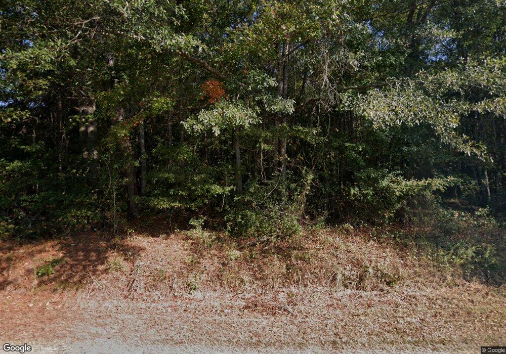
192 Brook Rd Barnesville, GA 30204
Estimated Value: $417,000 - $445,000
3
Beds
2
Baths
2,136
Sq Ft
$200/Sq Ft
Est. Value
About This Home
This home is located at 192 Brook Rd, Barnesville, GA 30204 and is currently estimated at $428,021, approximately $200 per square foot. 192 Brook Rd is a home located in Lamar County with nearby schools including Lamar County Primary School, Lamar County Elementary School, and Lamar County Middle School.
Ownership History
Date
Name
Owned For
Owner Type
Purchase Details
Closed on
Mar 14, 2000
Sold by
Parham Billy C
Bought by
Hayes Danny W
Current Estimated Value
Purchase Details
Closed on
Jan 8, 1999
Sold by
Weyerhaeuser Real Es
Bought by
Parham Billy C
Create a Home Valuation Report for This Property
The Home Valuation Report is an in-depth analysis detailing your home's value as well as a comparison with similar homes in the area
Purchase History
| Date | Buyer | Sale Price | Title Company |
|---|---|---|---|
| Hayes Danny W | $21,500 | -- | |
| Parham Billy C | $16,200 | -- |
Source: Public Records
Tax History
| Year | Tax Paid | Tax Assessment Tax Assessment Total Assessment is a certain percentage of the fair market value that is determined by local assessors to be the total taxable value of land and additions on the property. | Land | Improvement |
|---|---|---|---|---|
| 2025 | $3,690 | $163,447 | $27,453 | $135,994 |
| 2024 | $3,554 | $140,771 | $27,453 | $113,318 |
| 2023 | $3,707 | $136,190 | $27,453 | $108,737 |
| 2022 | $3,037 | $111,914 | $10,192 | $101,722 |
| 2021 | $2,766 | $93,902 | $10,192 | $83,710 |
| 2020 | $2,995 | $96,503 | $10,192 | $86,311 |
| 2019 | $3,002 | $96,503 | $10,192 | $86,311 |
| 2018 | $2,470 | $82,955 | $10,192 | $72,763 |
| 2017 | $2,457 | $82,955 | $10,192 | $72,763 |
| 2016 | $2,458 | $82,955 | $10,192 | $72,763 |
| 2015 | $2,451 | $82,955 | $10,192 | $72,763 |
| 2014 | $2,376 | $82,955 | $10,192 | $72,763 |
| 2013 | -- | $82,955 | $10,192 | $72,763 |
Source: Public Records
Map
Nearby Homes
- 329 Brook Rd
- 362 Brook Rd
- 218 City Pond Rd
- LOT 112 Cole Forest Blvd
- 277 Cole Forest Blvd
- 278 Cole Forest Blvd
- 507 N Ridge Rd
- 206 Cole Forest Blvd
- 225 Cole Forest Blvd
- 0 Veterans Unit 23619323
- 0 Veterans Unit 10429448
- 0 Veterans Unit 10675698
- V L Silver Dollar Rd
- 603 Silver Dollar Rd
- 123 Fredonia Church Rd
- 654 Liberty Hill Rd
- 0 Silver Dollar Rd Unit 10552561
- 787 Silver Dollar Rd
- 0 Roberts Rd Unit 10593586
- 0 Main St Unit 10586668
- 170 Brook Rd
- 435 City Pond Rd
- 457 City Pond Rd
- 202 Brook Rd
- 433 City Pond Rd
- 469 City Pond Rd
- 140 Brook Rd
- 151 Brook Rd
- 0 City Pond Rd Unit LOT 16 3226776
- 0 City Pond Rd Unit 3232603
- 0 City Pond Rd Unit 5 7597137
- 0 City Pond Rd Unit 3 7596969
- 0 City Pond Rd Unit 4 7596982
- 0 City Pond Rd Unit 2 7596960
- 0 City Pond Rd Unit 20029893
- 0 City Pond Rd Unit 20027456
- 0 City Pond Rd Unit 1 7596950
- 0 City Pond Rd Unit 8841691
- 0 City Pond Rd Unit 8823328
- 0 City Pond Rd Unit 8738201
