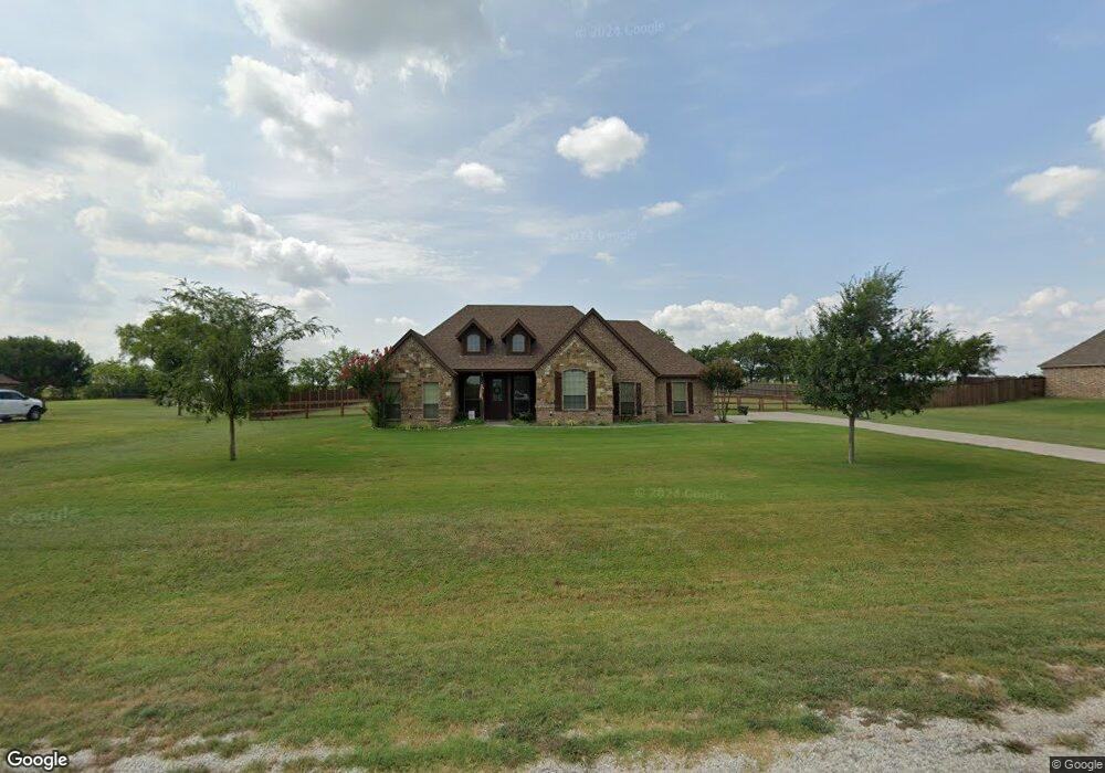
192 Canyon Dr Decatur, TX 76234
Estimated Value: $434,640 - $483,000
3
Beds
2
Baths
1,809
Sq Ft
$252/Sq Ft
Est. Value
About This Home
This home is located at 192 Canyon Dr, Decatur, TX 76234 and is currently estimated at $456,410, approximately $252 per square foot. 192 Canyon Dr is a home located in Wise County with nearby schools including Decatur High School.
Ownership History
Date
Name
Owned For
Owner Type
Purchase Details
Closed on
Jul 31, 2020
Sold by
Parker Joshua and Parker Haley Stroud
Bought by
Reynolds Reggie and Reynolds Leslie
Current Estimated Value
Home Financials for this Owner
Home Financials are based on the most recent Mortgage that was taken out on this home.
Original Mortgage
$291,005
Outstanding Balance
$258,618
Interest Rate
3.1%
Mortgage Type
FHA
Estimated Equity
$197,792
Purchase Details
Closed on
Apr 14, 2015
Sold by
Monett Kyle and Monett Amy
Bought by
Parker Joshua and Stroud Haley
Home Financials for this Owner
Home Financials are based on the most recent Mortgage that was taken out on this home.
Original Mortgage
$230,743
Interest Rate
3.87%
Mortgage Type
FHA
Purchase Details
Closed on
Sep 6, 2006
Sold by
Texas Craftmen Home Ltd
Bought by
Parker Joshua and Stroud Haley
Purchase Details
Closed on
Nov 17, 2005
Sold by
Reatta Ventures Ltd
Bought by
Parker Joshua and Stroud Haley
Create a Home Valuation Report for This Property
The Home Valuation Report is an in-depth analysis detailing your home's value as well as a comparison with similar homes in the area
Home Values in the Area
Average Home Value in this Area
Purchase History
| Date | Buyer | Sale Price | Title Company |
|---|---|---|---|
| Reynolds Reggie | -- | Members Title Llc | |
| Parker Joshua | -- | None Available | |
| Parker Joshua | -- | -- | |
| Parker Joshua | -- | -- |
Source: Public Records
Mortgage History
| Date | Status | Borrower | Loan Amount |
|---|---|---|---|
| Open | Reynolds Reggie | $291,005 | |
| Previous Owner | Parker Joshua | $230,743 |
Source: Public Records
Tax History Compared to Growth
Tax History
| Year | Tax Paid | Tax Assessment Tax Assessment Total Assessment is a certain percentage of the fair market value that is determined by local assessors to be the total taxable value of land and additions on the property. | Land | Improvement |
|---|---|---|---|---|
| 2025 | $4,269 | $438,372 | $75,000 | $363,372 |
| 2024 | $4,269 | $444,833 | $0 | $0 |
| 2023 | $4,885 | $404,394 | $0 | $0 |
| 2022 | $5,641 | $367,631 | $0 | $0 |
| 2021 | $4,985 | $310,990 | $50,000 | $260,990 |
| 2020 | $4,611 | $285,810 | $50,000 | $235,810 |
| 2019 | $4,705 | $281,450 | $50,000 | $231,450 |
| 2018 | $4,418 | $248,910 | $35,000 | $213,910 |
| 2017 | $4,033 | $227,200 | $30,000 | $197,200 |
| 2016 | $3,753 | $225,120 | $30,000 | $195,120 |
| 2015 | -- | $203,490 | $25,000 | $178,490 |
| 2014 | -- | $186,090 | $25,000 | $161,090 |
Source: Public Records
Map
Nearby Homes
- 216 Canyon Dr
- 000 Cr-4227
- 01 Cr-4227
- 106 Lajitas Dr
- 175 Clover Ln
- 220 Santa Lena Ct
- 192 Bluebonnet Dr
- 203 Cr 4221
- 103 County Road 4223
- 681 Fm 2264
- 161 Frontera Dr
- 941 County Road 4270
- 112 Sunset Mesa Dr
- TBD Lot 3&4 Wheelis Loop
- TBD 0.66 Acres County Road 4219
- 2150 County Road 4371
- 2160 County Road 4371
- 0 County Road 4371
- 1910 Fm 2264
- 1970 Fm 2264