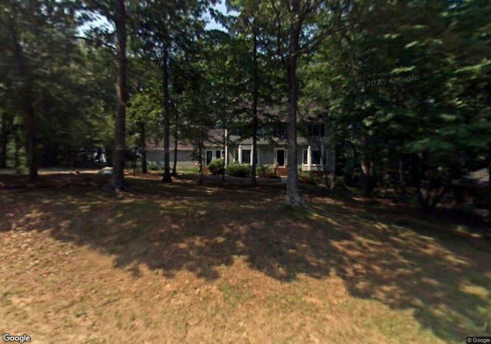
192 Chesterfield Rd Bogart, GA 30622
Estimated Value: $404,691 - $429,000
4
Beds
3
Baths
2,524
Sq Ft
$166/Sq Ft
Est. Value
About This Home
This home is located at 192 Chesterfield Rd, Bogart, GA 30622 and is currently estimated at $419,923, approximately $166 per square foot. 192 Chesterfield Rd is a home located in Clarke County with nearby schools including Cleveland Road Elementary School, Burney-Harris-Lyons Middle School, and Clarke Central High School.
Ownership History
Date
Name
Owned For
Owner Type
Purchase Details
Closed on
Feb 4, 2003
Sold by
Lloyd David R and Lloyd Bobbie L
Bought by
Morgan Margaret and Darrell Hall
Current Estimated Value
Purchase Details
Closed on
Jul 29, 1992
Sold by
Smart Terry and Smart Janet M
Bought by
Lloyd David R and Lloyd Bobbie L
Create a Home Valuation Report for This Property
The Home Valuation Report is an in-depth analysis detailing your home's value as well as a comparison with similar homes in the area
Home Values in the Area
Average Home Value in this Area
Purchase History
| Date | Buyer | Sale Price | Title Company |
|---|---|---|---|
| Morgan Margaret | $222,000 | -- | |
| Lloyd David R | $155,500 | -- |
Source: Public Records
Tax History Compared to Growth
Tax History
| Year | Tax Paid | Tax Assessment Tax Assessment Total Assessment is a certain percentage of the fair market value that is determined by local assessors to be the total taxable value of land and additions on the property. | Land | Improvement |
|---|---|---|---|---|
| 2025 | $3,656 | $134,813 | $18,000 | $116,813 |
| 2024 | $3,656 | $131,908 | $18,000 | $113,908 |
| 2023 | $3,623 | $123,068 | $18,000 | $105,068 |
| 2022 | $3,128 | $108,067 | $18,000 | $90,067 |
| 2021 | $2,990 | $98,714 | $16,000 | $82,714 |
| 2020 | $2,946 | $97,410 | $16,000 | $81,410 |
| 2019 | $2,715 | $89,980 | $16,000 | $73,980 |
| 2018 | $2,590 | $86,280 | $16,000 | $70,280 |
| 2017 | $2,415 | $81,138 | $16,000 | $65,138 |
| 2016 | $2,353 | $79,319 | $16,000 | $63,319 |
| 2015 | $2,278 | $76,979 | $16,000 | $60,979 |
| 2014 | $2,386 | $80,049 | $16,000 | $64,049 |
Source: Public Records
Map
Nearby Homes
- 241 Meeler Cir
- 240 W Huntington Rd
- 637 Huntington Rd Unit B1
- 190 W Huntington Rd
- 682 Chesterfield Rd
- 141 Huntington Shoals Dr
- 470 Huntington Rd Unit 5
- 212 Huntington Shoals Dr
- 532 Huntington Rd Unit 7
- 150 Callaway Dr
- 256 Cherokee Ridge
- 211 Littleton Way
- 100 Hanover Dr
- 240 Cleveland Rd Unit 105
- 178 Ben Burton Cir
- 170 Huntington Ct
- 450 River Bottom Rd
- 182 Chesterfield Rd
- 202 Chesterfield Rd
- 257 Meeler Cir
- 261 Meeler Cir
- 253 Meeler Cir
- 212 Chesterfield Rd
- 265 Meeler Cir
- 172 Chesterfield Rd
- 249 Meeler Cir
- 201 Chesterfield Rd
- 181 Chesterfield Rd
- 269 Meeler Cir
- 252 Meeler Cir
- 248 Meeler Cir
- 245 Meeler Cir
- 221 Chesterfield Rd
- 273 Meeler Cir
- 171 Chesterfield Rd
- 244 Meller Cir
- 222 Chesterfield Rd