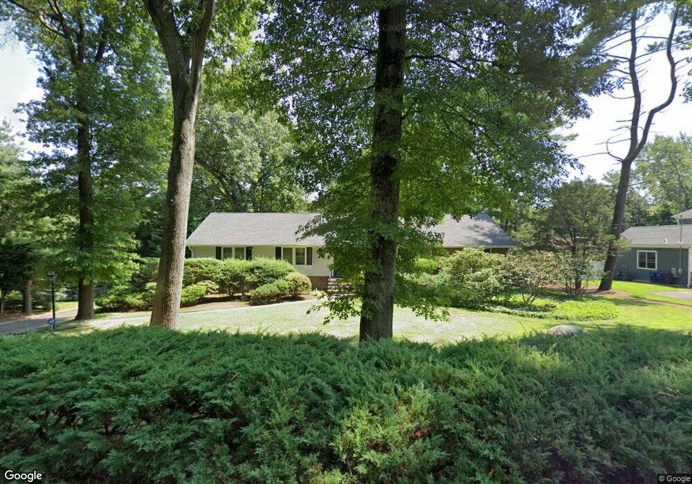
192 Chestnut St Demarest, NJ 07627
Estimated Value: $1,364,000 - $1,602,000
Studio
--
Bath
2,360
Sq Ft
$625/Sq Ft
Est. Value
About This Home
This home is located at 192 Chestnut St, Demarest, NJ 07627 and is currently estimated at $1,475,655, approximately $625 per square foot. 192 Chestnut St is a home located in Bergen County with nearby schools including County Road Elementary School, Luther Lee Emerson Elementary School, and Demarest Middle School.
Ownership History
Date
Name
Owned For
Owner Type
Purchase Details
Closed on
Apr 30, 2015
Sold by
Nadra Charles and Nadra Rosemarie
Bought by
Greenbaum Isaac and Greenbaum Dafna Dror
Current Estimated Value
Home Financials for this Owner
Home Financials are based on the most recent Mortgage that was taken out on this home.
Original Mortgage
$380,000
Outstanding Balance
$292,845
Interest Rate
3.69%
Mortgage Type
New Conventional
Estimated Equity
$1,182,810
Purchase Details
Closed on
Feb 6, 2007
Purchase Details
Closed on
Nov 4, 2004
Sold by
Bloom Charles
Bought by
Bloom Jason and Bloom Anne Sylte
Home Financials for this Owner
Home Financials are based on the most recent Mortgage that was taken out on this home.
Original Mortgage
$592,000
Interest Rate
5.71%
Create a Home Valuation Report for This Property
The Home Valuation Report is an in-depth analysis detailing your home's value as well as a comparison with similar homes in the area
Home Values in the Area
Average Home Value in this Area
Purchase History
We collect this data history from publicly available records. To have your information removed, we recommend requesting removal directly through your county’s website.
| Date | Buyer | Sale Price | Title Company |
|---|---|---|---|
| Greenbaum Isaac | $780,000 | Attorney | |
| -- | $830,000 | -- | |
| Bloom Jason | $740,000 | -- |
Source: Public Records
Mortgage History
We collect this data history from publicly available records. To have your information removed, we recommend requesting removal directly through your county’s website.
| Date | Status | Borrower | Loan Amount |
|---|---|---|---|
| Open | Greenbaum Isaac | $380,000 | |
| Previous Owner | Bloom Jason | $592,000 |
Source: Public Records
Tax History
| Year | Tax Paid | Tax Assessment Tax Assessment Total Assessment is a certain percentage of the fair market value that is determined by local assessors to be the total taxable value of land and additions on the property. | Land | Improvement |
|---|---|---|---|---|
| 2025 | $19,757 | $1,153,400 | $694,800 | $458,600 |
| 2024 | $18,859 | $646,300 | $411,000 | $235,300 |
| 2023 | $18,348 | $646,300 | $411,000 | $235,300 |
| 2022 | $18,348 | $646,300 | $411,000 | $235,300 |
| 2021 | $17,896 | $646,300 | $411,000 | $235,300 |
| 2020 | $17,476 | $646,300 | $411,000 | $235,300 |
| 2019 | $16,972 | $646,300 | $411,000 | $235,300 |
| 2018 | $16,448 | $646,300 | $411,000 | $235,300 |
| 2017 | $16,054 | $646,300 | $411,000 | $235,300 |
| 2016 | $15,802 | $646,300 | $411,000 | $235,300 |
| 2015 | $14,308 | $593,200 | $411,000 | $182,200 |
| 2014 | $14,000 | $593,200 | $411,000 | $182,200 |
Source: Public Records
Map
Nearby Homes
- 186 Chestnut St
- 183 Columbus Rd
- 179 Columbus Rd
- 40 Grove St
- 191 Chestnut St
- 30 Grove St
- 164 Columbus Ave
- 175 Columbus Rd
- 185 Chestnut St
- 150 Columbus Ave
- 179 Chestnut St
- 171 Columbus Rd
- 20 Grove St
- 161 Columbus Ave
- 4 Donnybrook Dr
- 180 Woodland Rd
- 176 Woodland Rd
- 176 Chestnut St
- 174 Columbus Rd
- 14 Ryerson Place
Your Personal Tour Guide
Ask me questions while you tour the home.