192 Dolan Ln Thomasville, NC 27360
Estimated Value: $138,000 - $313,000
3
Beds
2
Baths
1,628
Sq Ft
$149/Sq Ft
Est. Value
About This Home
This home is located at 192 Dolan Ln, Thomasville, NC 27360 and is currently estimated at $242,667, approximately $149 per square foot. 192 Dolan Ln is a home located in Davidson County with nearby schools including Fair Grove Elementary School, E. Lawson Brown Middle School, and East Davidson High School.
Ownership History
Date
Name
Owned For
Owner Type
Purchase Details
Closed on
Feb 17, 2021
Sold by
Grubb Tammy Mcdaniel
Bought by
Grubb Ashley Aaron
Current Estimated Value
Purchase Details
Closed on
Nov 17, 2011
Sold by
Grubb Ashley Aaron
Bought by
Grubb Ashley Aaron and Grubb Melanie S
Home Financials for this Owner
Home Financials are based on the most recent Mortgage that was taken out on this home.
Original Mortgage
$76,891
Outstanding Balance
$7,839
Interest Rate
4.15%
Mortgage Type
New Conventional
Estimated Equity
$234,828
Purchase Details
Closed on
Jul 1, 1998
Create a Home Valuation Report for This Property
The Home Valuation Report is an in-depth analysis detailing your home's value as well as a comparison with similar homes in the area
Home Values in the Area
Average Home Value in this Area
Purchase History
| Date | Buyer | Sale Price | Title Company |
|---|---|---|---|
| Grubb Ashley Aaron | -- | None Available | |
| Grubb Ashley Aaron | -- | All Star Title | |
| -- | -- | -- |
Source: Public Records
Mortgage History
| Date | Status | Borrower | Loan Amount |
|---|---|---|---|
| Open | Grubb Ashley Aaron | $76,891 |
Source: Public Records
Tax History
| Year | Tax Paid | Tax Assessment Tax Assessment Total Assessment is a certain percentage of the fair market value that is determined by local assessors to be the total taxable value of land and additions on the property. | Land | Improvement |
|---|---|---|---|---|
| 2025 | $1,186 | $188,170 | $0 | $0 |
| 2024 | $1,186 | $188,170 | $0 | $0 |
| 2023 | $1,186 | $188,170 | $0 | $0 |
| 2022 | $1,186 | $188,170 | $0 | $0 |
| 2021 | $1,186 | $188,170 | $0 | $0 |
| 2020 | $1,149 | $182,290 | $0 | $0 |
| 2019 | $1,167 | $182,290 | $0 | $0 |
| 2018 | $1,167 | $182,290 | $0 | $0 |
| 2017 | $1,167 | $182,290 | $0 | $0 |
| 2016 | $1,130 | $182,290 | $0 | $0 |
| 2015 | $816 | $131,650 | $0 | $0 |
| 2014 | $896 | $144,580 | $0 | $0 |
Source: Public Records
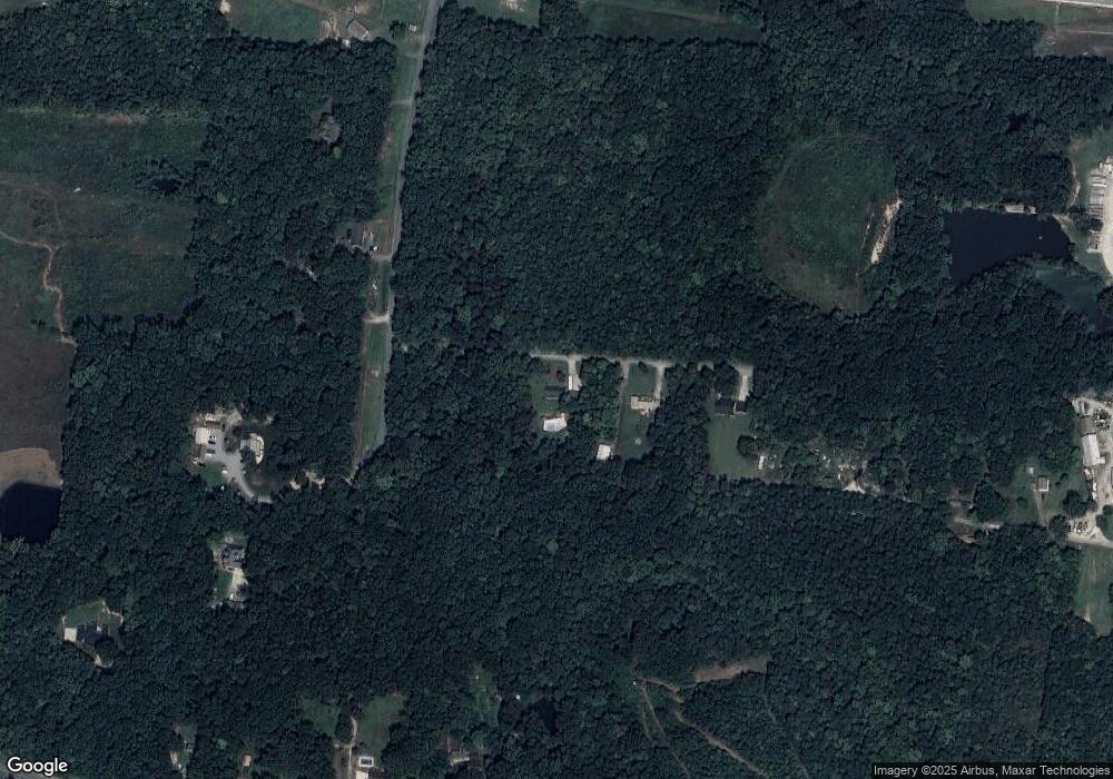
Map
Nearby Homes
- 1004 Black Farm Rd
- 450 Black Lake Rd
- 370 Lee Rd
- 380 Cedarland Dr
- 2501 Denton Rd
- 164 Holland Ln
- 186 Holland Ln
- 6919 E Holly Grove Rd
- 1107 Harvest Dr
- 737 Lee Rd
- 602 Ben Lee Rd
- 301 Beck Forest Ln
- 471 W Hunting Ridge Dr
- 4 Braxton Ln
- 114 Brooke Ridge Dr
- 1579 Lake Rd
- 12 Braxton Ln
- 596 Colleen Dr
- 109 Fletcher's Farm Dr
- 32 Ranchor Dr
- 246 Dolan Ln
- 294 Dolan Ln
- 1300 Black Lake Rd
- 1294 Black Lake Rd
- 1408 Black Lake Rd
- 1142 Black Lake Rd
- 1444 Black Lake Rd
- 2031 Sullivan Rd
- 1957 Sullivan Rd
- 1979 Sullivan Rd
- 995 Black Lake Rd
- 1927 Sullivan Rd
- 2072 Sullivan Rd
- 2018 Sullivan Rd
- 168 Pierce Rd
- 2094 Sullivan Rd
- 2126 Sullivan Rd
- 1972 Sullivan Rd
- 1823 Sullivan Rd
- 2162 Sullivan Rd
Your Personal Tour Guide
Ask me questions while you tour the home.