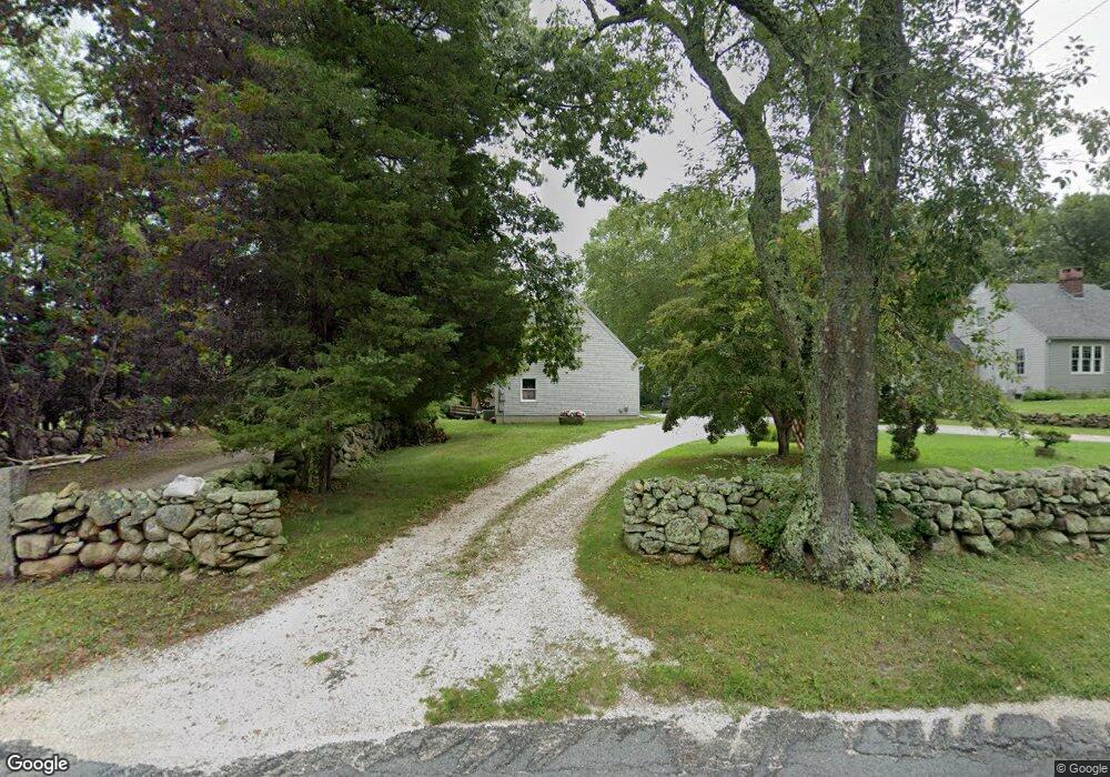
192 Drift Rd Westport, MA 02790
Head of Westport NeighborhoodEstimated Value: $663,921 - $710,000
--
Bed
--
Bath
--
Sq Ft
0.85
Acres
About This Home
This home is located at 192 Drift Rd, Westport, MA 02790 and is currently estimated at $691,640. 192 Drift Rd is a home located in Bristol County with nearby schools including Alice A. Macomber Primary School, Westport Elementary School, and Westport Middle-High School.
Ownership History
Date
Name
Owned For
Owner Type
Purchase Details
Closed on
Jul 18, 2003
Sold by
Alden Ft and Alden Jon W
Bought by
Alden Jon W and Alden Suzanne M
Current Estimated Value
Home Financials for this Owner
Home Financials are based on the most recent Mortgage that was taken out on this home.
Original Mortgage
$261,000
Outstanding Balance
$110,674
Interest Rate
5.34%
Mortgage Type
Purchase Money Mortgage
Estimated Equity
$580,966
Create a Home Valuation Report for This Property
The Home Valuation Report is an in-depth analysis detailing your home's value as well as a comparison with similar homes in the area
Home Values in the Area
Average Home Value in this Area
Purchase History
| Date | Buyer | Sale Price | Title Company |
|---|---|---|---|
| Alden Jon W | -- | -- |
Source: Public Records
Mortgage History
| Date | Status | Borrower | Loan Amount |
|---|---|---|---|
| Open | Alden Jon W | $261,000 | |
| Previous Owner | Alden Jon W | $181,000 | |
| Previous Owner | Alden Jon W | $187,000 |
Source: Public Records
Tax History Compared to Growth
Tax History
| Year | Tax Paid | Tax Assessment Tax Assessment Total Assessment is a certain percentage of the fair market value that is determined by local assessors to be the total taxable value of land and additions on the property. | Land | Improvement |
|---|---|---|---|---|
| 2025 | $4,068 | $546,100 | $198,600 | $347,500 |
| 2024 | $4,066 | $526,000 | $184,000 | $342,000 |
| 2023 | $4,089 | $501,100 | $175,300 | $325,800 |
| 2022 | $3,902 | $460,200 | $175,300 | $284,900 |
| 2021 | $2,608 | $441,600 | $159,300 | $282,300 |
| 2020 | $3,622 | $429,600 | $147,300 | $282,300 |
| 2019 | $3,248 | $392,700 | $136,000 | $256,700 |
| 2018 | $211 | $381,900 | $159,600 | $222,300 |
| 2017 | $3,071 | $385,300 | $159,600 | $225,700 |
| 2016 | $2,989 | $377,900 | $159,600 | $218,300 |
| 2015 | $2,906 | $366,500 | $163,200 | $203,300 |
Source: Public Records
Map
Nearby Homes
- 47 Fallon Dr
- Lot 0 Marcotte
- 0 Hidden Glen Ln
- 4 Main Rd
- 118 Charlotte White Rd Extension
- 118 Charlotte White Rd
- 27 Dias Ave
- 8 Strawberry Ln
- 73 White Oak Run
- 96 Forge Rd
- 3 Roller Coaster Way Unit Lot 1
- 29 Union Ave
- 461 Reed Rd
- 6 Angel Ct
- 7 Village Way
- 15 Village Way
- 8 Village Way
- 16 S Berryman St
- 9 Kyle Jacob Rd
- 978 Sodom Rd