192 E Frosty Dr West Branch, MI 48661
Estimated Value: $65,278 - $105,000
1
Bed
1
Bath
720
Sq Ft
$121/Sq Ft
Est. Value
About This Home
This home is located at 192 E Frosty Dr, West Branch, MI 48661 and is currently estimated at $87,426, approximately $121 per square foot. 192 E Frosty Dr is a home located in Ogemaw County with nearby schools including Surline Elementary School, Surline Middle School, and Ogemaw Heights High School.
Ownership History
Date
Name
Owned For
Owner Type
Purchase Details
Closed on
Mar 24, 2011
Sold by
Morgan Gary Michael
Bought by
Firstbank - West Branch Mortgage Company
Current Estimated Value
Purchase Details
Closed on
Nov 28, 2006
Sold by
Gregg John Stuart and Gregg Marguerite Ellen
Bought by
Morgan Gary Michael
Home Financials for this Owner
Home Financials are based on the most recent Mortgage that was taken out on this home.
Original Mortgage
$28,050
Interest Rate
6.33%
Create a Home Valuation Report for This Property
The Home Valuation Report is an in-depth analysis detailing your home's value as well as a comparison with similar homes in the area
Home Values in the Area
Average Home Value in this Area
Purchase History
| Date | Buyer | Sale Price | Title Company |
|---|---|---|---|
| Firstbank - West Branch Mortgage Company | -- | -- | |
| Morgan Gary Michael | -- | -- |
Source: Public Records
Mortgage History
| Date | Status | Borrower | Loan Amount |
|---|---|---|---|
| Previous Owner | Morgan Gary Michael | $28,050 |
Source: Public Records
Tax History Compared to Growth
Tax History
| Year | Tax Paid | Tax Assessment Tax Assessment Total Assessment is a certain percentage of the fair market value that is determined by local assessors to be the total taxable value of land and additions on the property. | Land | Improvement |
|---|---|---|---|---|
| 2025 | $828 | $27,300 | $0 | $0 |
| 2024 | $2 | $25,900 | $0 | $0 |
| 2023 | $178 | $22,900 | $0 | $0 |
| 2022 | $747 | $16,700 | $0 | $0 |
| 2021 | $697 | $15,600 | $0 | $0 |
| 2020 | $695 | $15,600 | $0 | $0 |
| 2019 | $660 | $14,900 | $0 | $0 |
| 2018 | $646 | $14,100 | $0 | $0 |
| 2017 | $612 | $14,100 | $0 | $0 |
| 2016 | $605 | $13,700 | $0 | $0 |
| 2015 | $604 | $13,700 | $0 | $0 |
| 2014 | $597 | $12,100 | $0 | $0 |
Source: Public Records
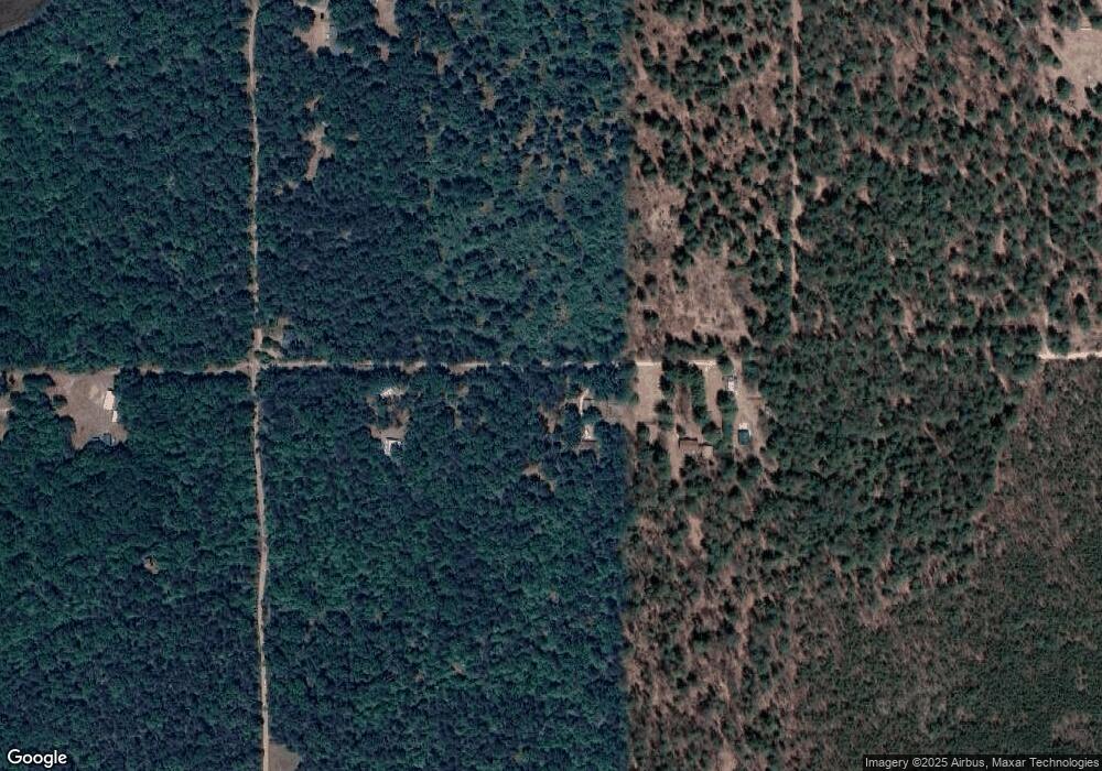
Map
Nearby Homes
- 57 E Boehm Rd
- x Oleskie Trail
- 781 Lula Ln
- 404 Barry Dr
- 2011 S Ogemaw Trail
- 4594 Timber Lane Rd
- 1872 Indianwood Trail
- 0 Whitetail Ct Unit 165
- 1820 N Ogemaw Trail
- 00 Oak Ridge Ct
- 4038 Brookview Dr E
- 5347 E Greenwood Rd
- 2030 George St
- 1532 Rabbit Track Dr
- 1125 Teddy Bear Ln
- 0 Silver Creek Dr Unit 1935433
- LOT 21-22 George St Unit 21-22
- 00_VL George St
- LOT 20 George St Unit 20
- 2141 Geraldine St
- 208 E Frosty Dr
- 3601 Richardson Ln
- 224 E Frosty Dr
- 162 E Frosty Dr
- 240 E Frosty Dr
- 0 Richardson Trail
- 3635 Richardson Ln
- 157 E Frosty Dr
- 3691 S M 33
- 3691 S M 33
- 3691 S M 33
- 3654 S M 33
- 959 Dry Lake Rd
- 138 Hands Trl Common
- 3428 Richardson Ln
- 3615 S M 33
- 3575 S M 33
- 3505 S M 33
- 3505 S M 33
- 3545 S M 33