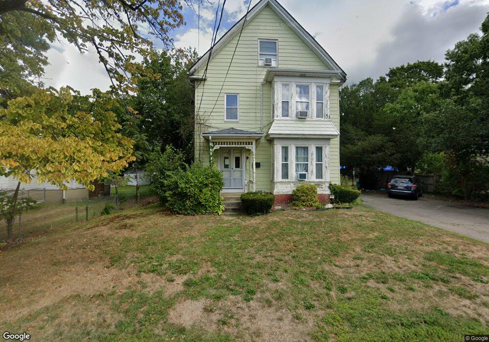
192 Franklin St Whitman, MA 02382
Estimated Value: $585,749 - $742,000
6
Beds
3
Baths
2,810
Sq Ft
$235/Sq Ft
Est. Value
About This Home
This home is located at 192 Franklin St, Whitman, MA 02382 and is currently estimated at $660,437, approximately $235 per square foot. 192 Franklin St is a home located in Plymouth County with nearby schools including St Bridget School.
Ownership History
Date
Name
Owned For
Owner Type
Purchase Details
Closed on
Jul 17, 2023
Sold by
Muscato Susan and Sforza Jane
Bought by
Fornaciari Hayleigh
Current Estimated Value
Purchase Details
Closed on
Oct 8, 2004
Sold by
Blake Paul V
Bought by
Sforza Susan and Sforza Jane
Purchase Details
Closed on
Apr 18, 2003
Sold by
Marcal Walquiria
Bought by
Blake Paul V
Purchase Details
Closed on
Jan 11, 2002
Sold by
Reed Steven F
Bought by
Marcal Walquiria L
Purchase Details
Closed on
Oct 13, 1992
Sold by
Simonis Ft
Bought by
Reed Steven F
Create a Home Valuation Report for This Property
The Home Valuation Report is an in-depth analysis detailing your home's value as well as a comparison with similar homes in the area
Home Values in the Area
Average Home Value in this Area
Purchase History
| Date | Buyer | Sale Price | Title Company |
|---|---|---|---|
| Fornaciari Hayleigh | -- | None Available | |
| Sforza Susan | $386,000 | -- | |
| Blake Paul V | $315,000 | -- | |
| Marcal Walquiria L | $270,000 | -- | |
| Reed Steven F | $117,900 | -- |
Source: Public Records
Mortgage History
| Date | Status | Borrower | Loan Amount |
|---|---|---|---|
| Previous Owner | Reed Steven F | $336,000 | |
| Previous Owner | Reed Steven F | $84,000 | |
| Previous Owner | Reed Steven F | $15,015 |
Source: Public Records
Tax History Compared to Growth
Tax History
| Year | Tax Paid | Tax Assessment Tax Assessment Total Assessment is a certain percentage of the fair market value that is determined by local assessors to be the total taxable value of land and additions on the property. | Land | Improvement |
|---|---|---|---|---|
| 2025 | $7,087 | $540,200 | $197,100 | $343,100 |
| 2024 | $6,630 | $520,400 | $193,000 | $327,400 |
| 2023 | $6,419 | $473,000 | $176,700 | $296,300 |
| 2022 | $6,262 | $430,100 | $160,500 | $269,600 |
| 2021 | $6,000 | $387,100 | $135,100 | $252,000 |
| 2020 | $5,942 | $374,900 | $122,900 | $252,000 |
| 2019 | $4,972 | $323,300 | $122,900 | $200,400 |
| 2018 | $4,824 | $301,300 | $116,800 | $184,500 |
| 2017 | $4,355 | $288,800 | $116,800 | $172,000 |
| 2016 | $4,289 | $275,100 | $106,700 | $168,400 |
| 2015 | $4,155 | $266,200 | $106,700 | $159,500 |
Source: Public Records
Map
Nearby Homes
- 35 Dana St
- 214 Winter St
- 131 Holly Ridge Dr
- 684 South Ave
- 23 Reed Place
- 40 Lazel St
- 170 Pleasant St
- 54-56 Stetson St
- 55 Plymouth St Unit A5
- 1057 Whitman St
- 417 Birchbark Dr
- 20 Elm Place
- 48 Day St
- 110 South Ave Unit 14
- 608 Plymouth St
- 22 Old Coach Rd
- 84 Washington St
- 532 Washington St
- 679 Plymouth St
- 842 Whitman St
- 198 Franlin St
- 198 Franklin St
- 186 Franklin St
- 27 George St
- 22 Dana St
- 35 George St
- 180 Franklin St
- 180 Franklin St Unit 2
- 195 Franklin St
- 195 Franklin St Unit 2
- 195 Franklin St Unit 1
- 26 Dana St
- 212 Franklin St
- 41 George St
- 201 Franklin St
- 209 Franklin St
- 30 Dana St
- 47 George St
- 18 George St
- 220 Franklin St