192 Kierbow Rd Carrollton, GA 30117
Estimated Value: $333,000 - $387,000
3
Beds
2
Baths
1,787
Sq Ft
$202/Sq Ft
Est. Value
About This Home
This home is located at 192 Kierbow Rd, Carrollton, GA 30117 and is currently estimated at $361,166, approximately $202 per square foot. 192 Kierbow Rd is a home located in Carroll County with nearby schools including Mt. Zion Elementary School, Mt. Zion Middle School, and Mt. Zion High School.
Ownership History
Date
Name
Owned For
Owner Type
Purchase Details
Closed on
Mar 5, 2021
Sold by
Kierbow Cary
Bought by
Kierbow Michael C
Current Estimated Value
Purchase Details
Closed on
Feb 14, 2012
Sold by
Kierbow Carlos W & Elsie Estates
Bought by
Kierbow Cary
Purchase Details
Closed on
Oct 17, 2002
Sold by
Kierbow Carolos W and Kierbow Elsie
Bought by
Kierbow Cary
Purchase Details
Closed on
May 29, 1997
Sold by
Kierbow Cary
Bought by
Kierbow Cary
Purchase Details
Closed on
Jul 15, 1972
Bought by
Kierbow Cary
Create a Home Valuation Report for This Property
The Home Valuation Report is an in-depth analysis detailing your home's value as well as a comparison with similar homes in the area
Home Values in the Area
Average Home Value in this Area
Purchase History
| Date | Buyer | Sale Price | Title Company |
|---|---|---|---|
| Kierbow Michael C | -- | -- | |
| Kierbow Cary | -- | -- | |
| Kierbow Cary | -- | -- | |
| Kierbow Cary | -- | -- | |
| Kierbow Cary | -- | -- |
Source: Public Records
Tax History Compared to Growth
Tax History
| Year | Tax Paid | Tax Assessment Tax Assessment Total Assessment is a certain percentage of the fair market value that is determined by local assessors to be the total taxable value of land and additions on the property. | Land | Improvement |
|---|---|---|---|---|
| 2024 | $306 | $126,676 | $39,357 | $87,319 |
| 2023 | $306 | $112,254 | $31,486 | $80,768 |
| 2022 | $365 | $85,926 | $20,991 | $64,935 |
| 2021 | $368 | $74,244 | $16,792 | $57,452 |
| 2020 | $369 | $65,706 | $15,266 | $50,440 |
| 2019 | $379 | $62,344 | $15,266 | $47,078 |
| 2018 | $378 | $53,780 | $8,382 | $45,398 |
| 2017 | $382 | $53,780 | $8,382 | $45,398 |
| 2016 | $377 | $53,111 | $8,382 | $44,729 |
| 2015 | $1,458 | $56,131 | $18,316 | $37,815 |
| 2014 | $1,464 | $56,132 | $18,316 | $37,815 |
Source: Public Records
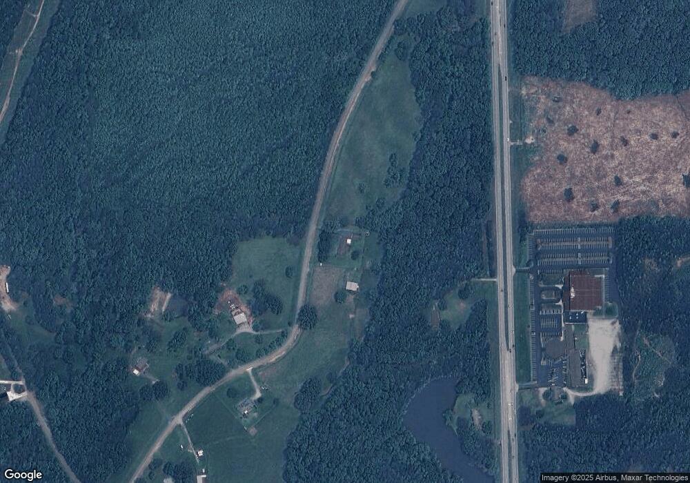
Map
Nearby Homes
- 4748 Us Highway 27
- 406 Holly Springs Rd
- 405 Adler Point
- 112 Turkey Creek Trail
- 469 Lee Williams Rd
- 14 Cole Lake Rd
- 1401 Alabama Ave
- 68 Tyler Ln
- 142 Tyler Ln
- 174 Katie Ln
- 898 Bowdon Junction Rd
- 0 Stonebridge Blvd Unit 143588
- 327 Crest Pointe S
- 201 Stonebridge Blvd
- 305 Crest Pointe S
- 112 Summit Ln
- 676 Hog Liver Rd
- 321 Stonebridge Blvd
- 0 Mt Zion St Unit 7399245
- 332 Kierbow Rd
- 4712 N Highway 27
- 4748 U S 27
- 4748 N Highway 27
- 4838 N Highway 27
- 277 Kierbow Rd
- 278 Kierbow Rd
- 4644 N Highway 27
- 4644 N Highway 27
- 4789 U S 27
- 4789 N Highway 27
- 4592 N Highway 27
- 4685 N Highway 27
- 4811 N Highway 27
- 4868 N Highway 27
- 358 Kierbow Rd
- 257 Reid Rd
- 4532 N Highway 27
- 486 Reid Rd
- 434 Holly Springs Rd