192 Lancewood Cir Lufkin, TX 75904
Estimated Value: $180,131 - $255,000
--
Bed
5
Baths
1,308
Sq Ft
$169/Sq Ft
Est. Value
About This Home
This home is located at 192 Lancewood Cir, Lufkin, TX 75904 and is currently estimated at $220,783, approximately $168 per square foot. 192 Lancewood Cir is a home located in Angelina County with nearby schools including W.F. Peavy Primary School, W.H. Bonner Elementary School, and Hudson Middle School.
Ownership History
Date
Name
Owned For
Owner Type
Purchase Details
Closed on
Jan 20, 2009
Sold by
Fenley Kristen Jenae
Bought by
Moore Meagan Renae and Moore Timothy Scott
Current Estimated Value
Home Financials for this Owner
Home Financials are based on the most recent Mortgage that was taken out on this home.
Original Mortgage
$37,500
Interest Rate
5.42%
Mortgage Type
Purchase Money Mortgage
Create a Home Valuation Report for This Property
The Home Valuation Report is an in-depth analysis detailing your home's value as well as a comparison with similar homes in the area
Home Values in the Area
Average Home Value in this Area
Purchase History
| Date | Buyer | Sale Price | Title Company |
|---|---|---|---|
| Moore Meagan Renae | -- | None Available | |
| Moore Meagan Renae | -- | None Available |
Source: Public Records
Mortgage History
| Date | Status | Borrower | Loan Amount |
|---|---|---|---|
| Closed | Moore Meagan Renae | $37,500 |
Source: Public Records
Tax History Compared to Growth
Tax History
| Year | Tax Paid | Tax Assessment Tax Assessment Total Assessment is a certain percentage of the fair market value that is determined by local assessors to be the total taxable value of land and additions on the property. | Land | Improvement |
|---|---|---|---|---|
| 2025 | $2,736 | $154,190 | $30,410 | $123,780 |
| 2024 | $2,487 | $151,240 | $30,410 | $120,830 |
| 2023 | $2,250 | $151,080 | $30,410 | $120,670 |
| 2022 | $2,283 | $135,600 | $17,080 | $118,520 |
| 2021 | $2,230 | $123,180 | $17,080 | $106,100 |
| 2020 | $2,033 | $94,860 | $17,590 | $77,270 |
| 2019 | $1,991 | $92,140 | $17,080 | $75,060 |
| 2018 | $1,710 | $82,080 | $17,080 | $65,000 |
| 2017 | $1,710 | $76,810 | $15,210 | $61,600 |
| 2016 | $1,672 | $75,080 | $15,210 | $59,870 |
| 2015 | $1,522 | $75,080 | $15,210 | $59,870 |
| 2014 | $1,522 | $75,360 | $15,210 | $60,150 |
Source: Public Records
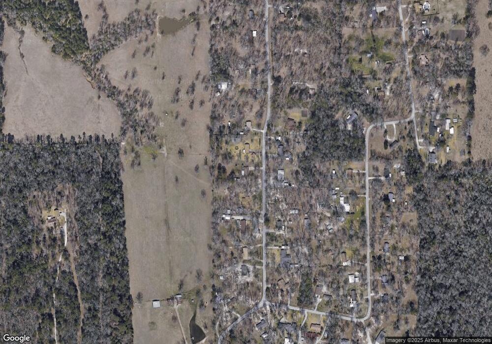
Map
Nearby Homes
- 176 Lancewood Cir
- 151 Lancewood Cir
- 339 Liles Ln
- Derek RD None
- Lot 2 Bethlehem Rd
- 183 Falcon Ave
- 260 Falcon Ave
- 5740 Hwy 103e
- 0 Ben Dunn Rd
- PID 29607 Ben Dunn Rd
- PID 29607 Ben Dunn Rd
- TBD James Oates Rd
- 105,115,116,195 Wilcox Dr
- 3202 Bethlehem Rd
- 3335 Bethlehem Rd
- Lot 1A Welch Hill Top Rd
- Lot 1D Welch Hill Top Rd
- 3405 Bethlehem Rd
- 0000 Roy Christie Rd
- 151 Plum Ridge
- 190 Lancewood Cir
- 194 Lancewood Cir
- 191 Lancewood Cir
- 188 Lancewood Cir
- 189 Lancewood Cir
- 196 Lancewood Cir
- 187 Lancewood Cir
- 195 Lancewood Cir
- 198 Lancewood Cir
- 186 Lancewood Cir
- 197 Lancewood Cir
- 184 Lancewood Cir
- 117 Lancewood Cir
- 119 Lancewood Cir
- 183 Lancewood Cir
- 123 Lancewood Cir
- 801 Lancewood Cir
- 182 Lancewood Cir
- 113 Lancewood Cir
- 185 Lancewood Cir