192 Macaw Rd Spearsville, LA 71277
Estimated Value: $260,000
3
Beds
2
Baths
2,486
Sq Ft
$105/Sq Ft
Est. Value
About This Home
This home is located at 192 Macaw Rd, Spearsville, LA 71277 and is currently estimated at $260,000, approximately $104 per square foot. 192 Macaw Rd is a home located in Union Parish with nearby schools including Union Parish 6th Grade Center.
Ownership History
Date
Name
Owned For
Owner Type
Purchase Details
Closed on
Aug 12, 2008
Sold by
Harrel Halsey Morris and Harrel Sharon Lea
Bought by
Reed Terry Louis and Reed Victoria Nanette
Current Estimated Value
Home Financials for this Owner
Home Financials are based on the most recent Mortgage that was taken out on this home.
Original Mortgage
$148,824
Outstanding Balance
$98,821
Interest Rate
6.57%
Mortgage Type
FHA
Estimated Equity
$161,179
Create a Home Valuation Report for This Property
The Home Valuation Report is an in-depth analysis detailing your home's value as well as a comparison with similar homes in the area
Home Values in the Area
Average Home Value in this Area
Purchase History
| Date | Buyer | Sale Price | Title Company |
|---|---|---|---|
| Reed Terry Louis | $150,000 | None Available |
Source: Public Records
Mortgage History
| Date | Status | Borrower | Loan Amount |
|---|---|---|---|
| Open | Reed Terry Louis | $148,824 |
Source: Public Records
Tax History Compared to Growth
Tax History
| Year | Tax Paid | Tax Assessment Tax Assessment Total Assessment is a certain percentage of the fair market value that is determined by local assessors to be the total taxable value of land and additions on the property. | Land | Improvement |
|---|---|---|---|---|
| 2024 | $1,629 | $18,221 | $1,500 | $16,721 |
| 2023 | $67 | $13,623 | $800 | $12,823 |
| 2022 | $142 | $13,623 | $800 | $12,823 |
| 2021 | $1,176 | $13,421 | $800 | $12,621 |
| 2020 | $67 | $13,623 | $800 | $12,823 |
| 2019 | $737 | $7,595 | $800 | $6,795 |
| 2018 | $0 | $7,797 | $800 | $6,997 |
| 2017 | $0 | $8,259 | $800 | $7,459 |
| 2016 | $247 | $8,259 | $800 | $7,459 |
| 2015 | $247 | $11,975 | $61 | $11,914 |
| 2014 | $247 | $11,971 | $61 | $11,910 |
| 2013 | $902 | $11,980 | $70 | $11,910 |
Source: Public Records
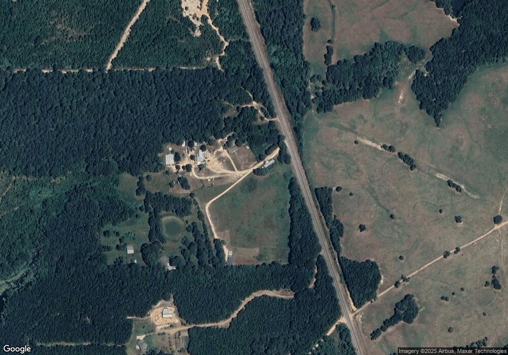
Map
Nearby Homes
- 10-23-1 Gaston Rd Rd
- 27-23-1 Gaston Rd
- 0 Ervin Rd Unit 15 ac +/- 211218
- 000 Snowball Rd Unit 60 ac+/- East of Sno
- 000 Oakland Bridge Rd
- TBD Oakland Bridge Rd
- TBD Webb Rd
- Tbd Oakland Bridge
- Tbd Webb Rd
- 4846 Iron Mountain Rd
- 0 Tucker Store Rd Unit 29 ac+/- Tucker Stor
- 0 Tucker Store Rd Unit 52 ac+/- Tucker Stor
- 0 Tucker Store Rd Unit 111 ac+/- Tucker Sto
- 0 Tucker Store Rd Unit 15 ac+/- Tucker Stor
- Cook Rd
- 701 Highway 550
- 000 Highway 167 Unit South of Bernice
- 000 Highway 167
- 125 Broken Spoke
- 1151 Cherry Ridge Rd Unit LotWP001
- 176 Macaw Rd Unit PVT
- 156 Macaw Rd
- 172 Macaw Rd
- 185 Macaw Rd
- 143 Macaw Rd
- 1997 Highway 558
- 141 Cora Rd
- 140 Cora Rd
- 142 Cora Rd
- 0 Highway 144 Unit Highway 556
- 1908 Highway 558
- 1818 Highway 558
- 1901 Highway 558
- 802 Alvin Green Rd
- 788 Alvin Green Rd
- 774 Alvin Green Rd
- 2283 Highway 15
- 0 Sweet Union Church Rd
- 466 Risinger Rd
- 2186 Highway 15